Map of Ptghni
Interactive Map
Recent Nearby Earthquakes
Magnitude 3.0 and greater
| Date▼ | Time↕ | Magnitude↕ | Distance↕ | Depth↕ | Location↕ | Link |
|---|---|---|---|---|---|---|
| 6/6/18 | 1:07 PM | 4.2 | 73.5 km | 10,000 m | 2km NE of Arevashogh, Armenia | usgs.gov |
| 4/6/15 | 1:26 AM | 4.1 | 43.7 km | 10,000 m | 5km SW of Lanjaghbyur, Armenia | usgs.gov |
| 11/4/08 | 6:53 PM | 3.3 | 30.4 km | 5,000 m | Armenia | usgs.gov |
| 10/24/07 | 12:03 PM | 3.3 | 99.8 km | 8,600 m | eastern Turkey | usgs.gov |
| 7/9/07 | 9:33 AM | 4.4 | 97.8 km | 15,000 m | Armenia | usgs.gov |
| 4/11/07 | 7:43 PM | 3.5 | 16.8 km | 5,000 m | Armenia | usgs.gov |
| 1/12/07 | 8:00 AM | 4.2 | 12.2 km | 5,000 m | Armenia | usgs.gov |
| 5/9/06 | 12:44 AM | 4.1 | 96.3 km | 14,000 m | Turkey-Iran border region | usgs.gov |
| 9/1/05 | 6:17 PM | 4.2 | 77.7 km | 15,000 m | Turkey-Iran border region | usgs.gov |
| 8/17/05 | 6:26 PM | 4 | 96.1 km | 2,900 m | Turkey-Iran border region | usgs.gov |
Source: U.S. Geological Survey (USGS)
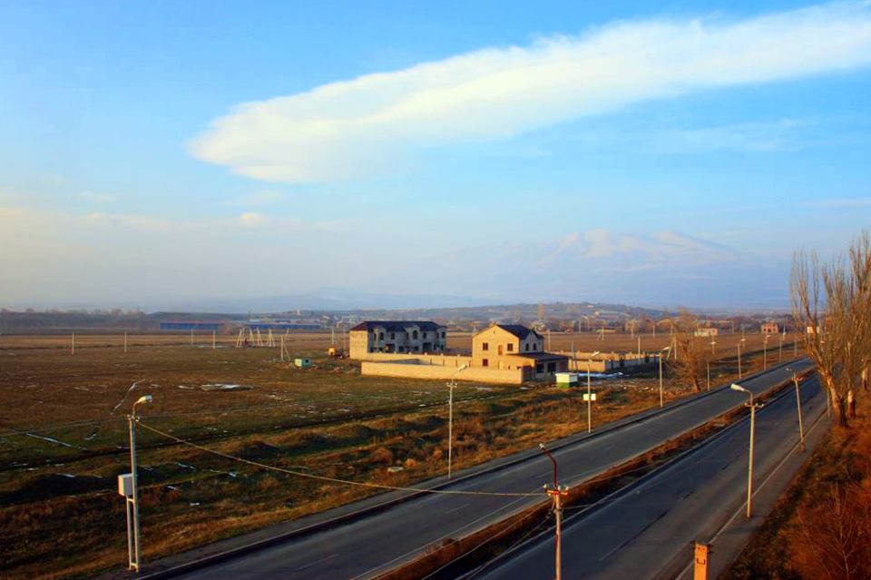
Ptghni
Ptghni (Armenian: Պտղնի, also Romanized as Ptykhni, Ptgni, and Ptkhni) is a village located in the Kotayk Province of Armenia along the left bank of the Hrazdan River. It was founded in 1831 in the vicinity of an abandoned dwelling. The village has a..
Ptghni Wikipedia Page

About Our Data
The data on this page is estimated using a number of publicly available tools and resources. It is provided without warranty, and could contain inaccuracies. Use at your own risk.