Lungitz Facts
| Local Time | |
| Timezone | Central European Summer Time |
| Lat & Lng | 48.29027, 14.48024 |
Map of Lungitz
Interactive Map
Recent Nearby Earthquakes
Magnitude 3.0 and greater
| Date▼ | Time↕ | Magnitude↕ | Distance↕ | Depth↕ | Location↕ | Link |
|---|---|---|---|---|---|---|
| 8/12/08 | 5:25 PM | 3.8 | 91.7 km | 10,000 m | Austria | usgs.gov |
| 6/22/08 | 3:05 PM | 3.2 | 52.8 km | 1,300 m | Austria | usgs.gov |
| 2/22/06 | 3:39 AM | 3 | 89.4 km | 10,000 m | Austria | usgs.gov |
| 12/11/03 | 1:38 AM | 3.3 | 61.7 km | 10,000 m | Austria | usgs.gov |
| 8/22/02 | 3:21 AM | 3.1 | 89.3 km | 10,000 m | Austria | usgs.gov |
| 6/25/00 | 5:02 PM | 3.2 | 87.3 km | 5,000 m | Austria | usgs.gov |
| 3/11/00 | 2:31 AM | 3.4 | 46.8 km | 10,000 m | Austria | usgs.gov |
| 5/2/99 | 4:49 AM | 3.2 | 86.6 km | 10,000 m | Austria | usgs.gov |
| 3/31/99 | 3:09 PM | 3.1 | 51.1 km | 10,000 m | Austria | usgs.gov |
| 3/31/99 | 1:00 PM | 3.9 | 53.9 km | 10,000 m | Austria | usgs.gov |
Source: U.S. Geological Survey (USGS)
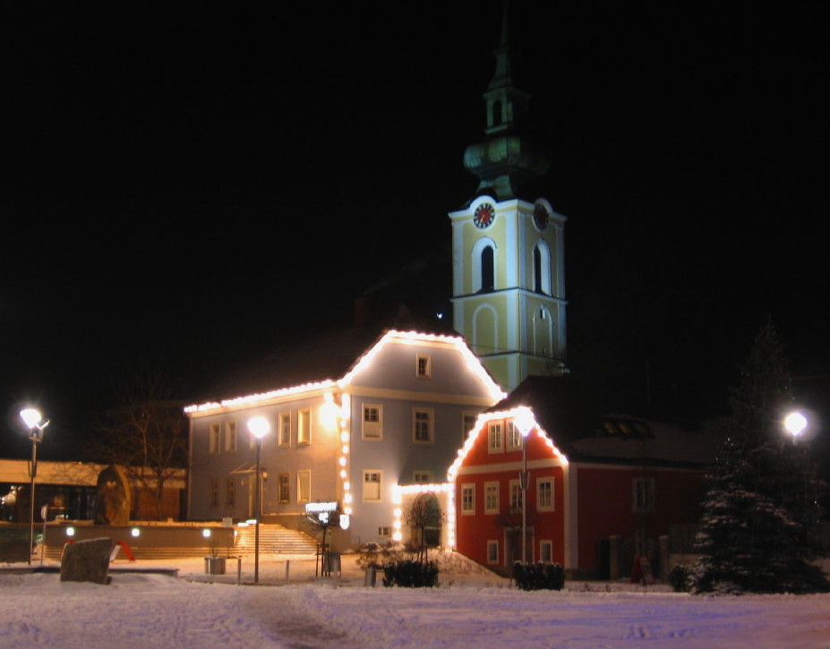
Lungitz
Lungitz is a village in the community of Katsdorf, Perg district of Upper Austria, Austria. World War II it was the site of slave labour and the "Gusen III" sub-camp of the Mauthausen-Gusen system later on. Although camp Gusen III was not opened ear..
Lungitz Wikipedia Page

About Our Data
The data on this page is estimated using a number of publicly available tools and resources. It is provided without warranty, and could contain inaccuracies. Use at your own risk.