Categories in Reichenthal
Map of Reichenthal
Interactive Map
Area Codes
Percentage Area Codes used by businesses in Reichenthal
Postal Codes
Percentage of businesses by Postal Codes in Reichenthal
Recent Nearby Earthquakes
Magnitude 3.0 and greater
| Date▼ | Time↕ | Magnitude↕ | Distance↕ | Depth↕ | Location↕ | Link |
|---|---|---|---|---|---|---|
| 8/12/08 | 5:25 PM | 3.8 | 95.7 km | 10,000 m | Austria | usgs.gov |
| 6/22/08 | 3:05 PM | 3.2 | 77.6 km | 1,300 m | Austria | usgs.gov |
| 12/11/03 | 1:38 AM | 3.3 | 77.2 km | 10,000 m | Austria | usgs.gov |
| 3/11/00 | 2:31 AM | 3.4 | 50.9 km | 10,000 m | Austria | usgs.gov |
| 3/31/99 | 3:09 PM | 3.1 | 77.2 km | 10,000 m | Austria | usgs.gov |
| 3/31/99 | 1:00 PM | 3.9 | 77.2 km | 10,000 m | Austria | usgs.gov |
| 12/10/98 | 3:24 AM | 3.1 | 35.2 km | 5,000 m | Austria | usgs.gov |
| 7/23/98 | 12:29 PM | 3.1 | 98 km | 10,000 m | Austria | usgs.gov |
| 3/7/98 | 12:07 PM | 3.5 | 75.7 km | 10,000 m | Austria | usgs.gov |
| 8/7/97 | 10:28 PM | 3.3 | 95.3 km | 10,000 m | Austria | usgs.gov |
Source: U.S. Geological Survey (USGS)
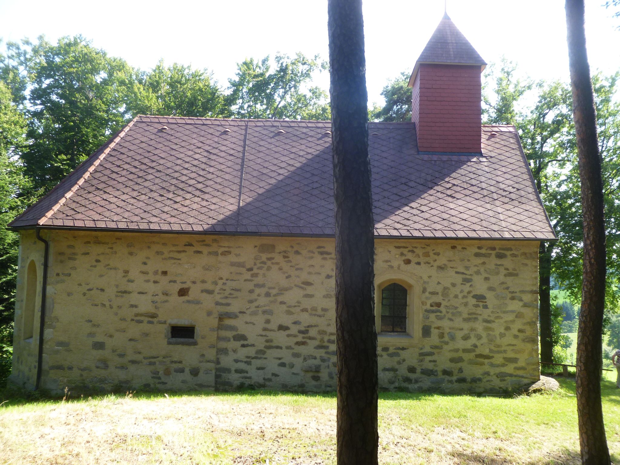
Reichenthal
Reichenthal is a municipality in the district of Urfahr-Umgebung in the Austrian state of Upper Austria.
Reichenthal Wikipedia Page


About Our Data
The data on this page is estimated using a number of publicly available tools and resources. It is provided without warranty, and could contain inaccuracies. Use at your own risk.