Keiem Facts
| Local Time | |
| Timezone | Central European Summer Time |
| Lat & Lng | 51.08144, 2.88217 |
Map of Keiem
Interactive Map
Price Distribution
Business distribution by price for Keiem
Recent Nearby Earthquakes
Magnitude 3.0 and greater
| Date▼ | Time↕ | Magnitude↕ | Distance↕ | Depth↕ | Location↕ | Link |
|---|---|---|---|---|---|---|
| 7/14/08 | 1:33 AM | 3.2 | 96.9 km | 4,000 m | Belgium | usgs.gov |
| 1/23/07 | 5:32 PM | 4.1 | 81.7 km | 10,000 m | North Sea | usgs.gov |
| 2/27/05 | 8:16 AM | 3.1 | 65.7 km | 4,000 m | France | usgs.gov |
| 7/2/01 | 4:06 PM | 3.1 | 14.5 km | 5,000 m | Belgium | usgs.gov |
| 11/25/98 | 9:22 PM | 3 | 58.2 km | 10,000 m | North Sea | usgs.gov |
| 3/28/96 | 7:37 PM | 3 | 94.4 km | 10,000 m | North Sea | usgs.gov |
| 6/20/95 | 1:54 AM | 4.3 | 97.8 km | 20,000 m | Belgium | usgs.gov |
| 9/15/94 | 6:36 AM | 3.9 | 97.6 km | 10,000 m | England, United Kingdom | usgs.gov |
| 1/27/92 | 2:43 AM | 3.5 | 90.3 km | 10,000 m | France | usgs.gov |
| 12/14/91 | 1:30 PM | 4 | 89.9 km | 10,000 m | France | usgs.gov |
Source: U.S. Geological Survey (USGS)
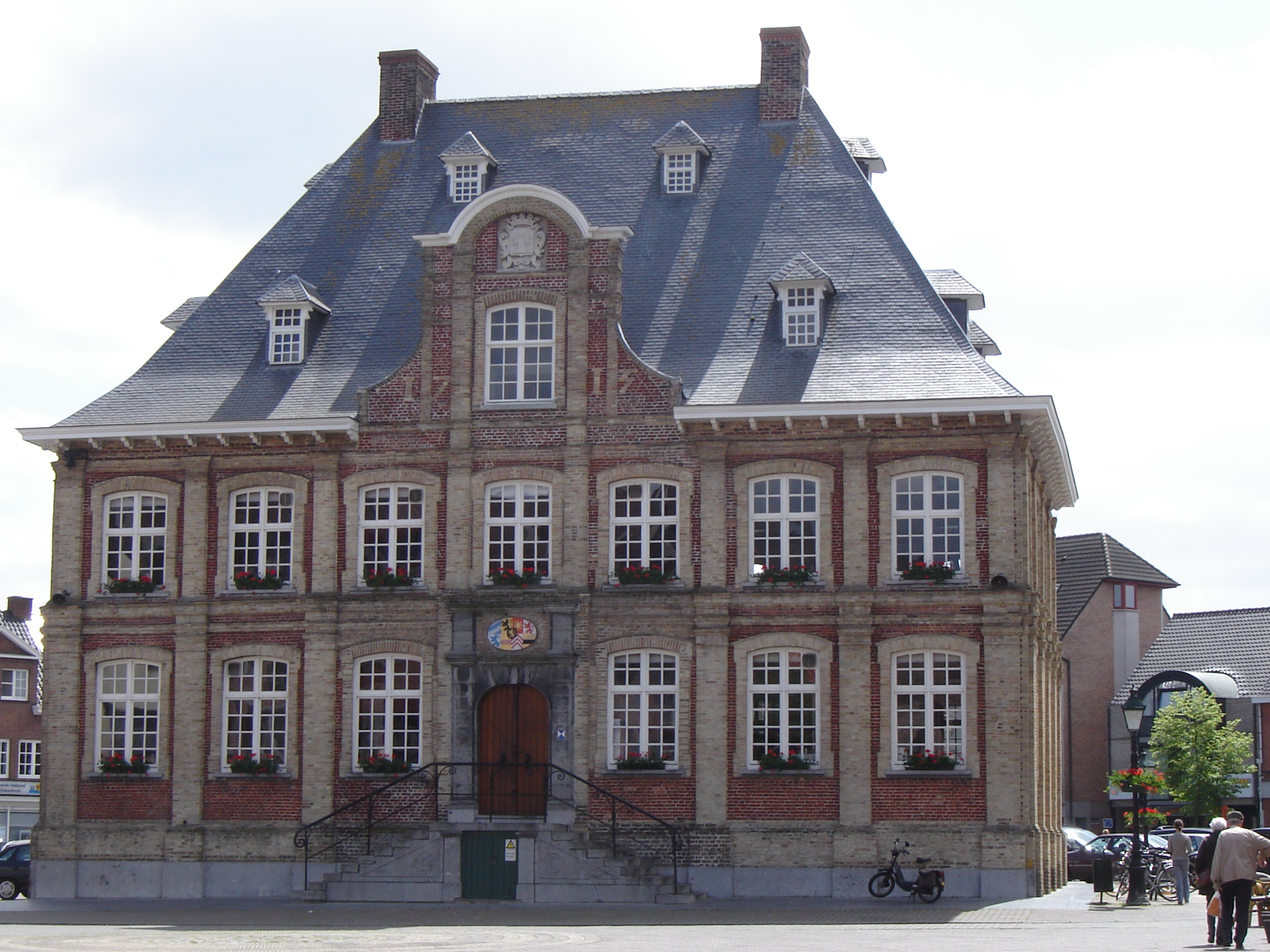
Keiem
Keiem is a small town situated some 7 km north of Diksmuide in West Flanders, Belgium. Administratively it forms part of Diksmuide Municipality. close to the right bank of the River Yser, the town suffered extensive flooding when, on 21 October 1914..
Keiem Wikipedia Page
About Our Data
The data on this page is estimated using a number of publicly available tools and resources. It is provided without warranty, and could contain inaccuracies. Use at your own risk.