Raversijde Facts
| Local Time | |
| Timezone | Central European Summer Time |
| Lat & Lng | 51.20680, 2.86284 |
Map of Raversijde
Interactive Map
Recent Nearby Earthquakes
Magnitude 3.0 and greater
| Date▼ | Time↕ | Magnitude↕ | Distance↕ | Depth↕ | Location↕ | Link |
|---|---|---|---|---|---|---|
| 1/23/07 | 5:32 PM | 4.1 | 70.4 km | 10,000 m | North Sea | usgs.gov |
| 2/27/05 | 8:16 AM | 3.1 | 79.8 km | 4,000 m | France | usgs.gov |
| 7/2/01 | 4:06 PM | 3.1 | 13.5 km | 5,000 m | Belgium | usgs.gov |
| 11/25/98 | 9:22 PM | 3 | 54.4 km | 10,000 m | North Sea | usgs.gov |
| 3/28/96 | 7:37 PM | 3 | 80.7 km | 10,000 m | North Sea | usgs.gov |
| 9/15/94 | 6:36 AM | 3.9 | 88.3 km | 10,000 m | England, United Kingdom | usgs.gov |
| 1/27/92 | 2:43 AM | 3.5 | 98.1 km | 10,000 m | France | usgs.gov |
| 12/14/91 | 1:30 PM | 4 | 97.4 km | 10,000 m | France | usgs.gov |
| 5/4/90 | 10:15 AM | 3.1 | 79.9 km | 10,000 m | France | usgs.gov |
Source: U.S. Geological Survey (USGS)
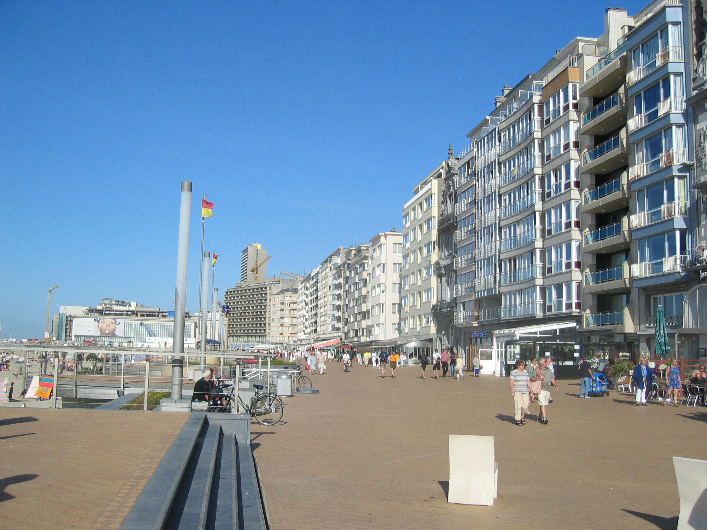
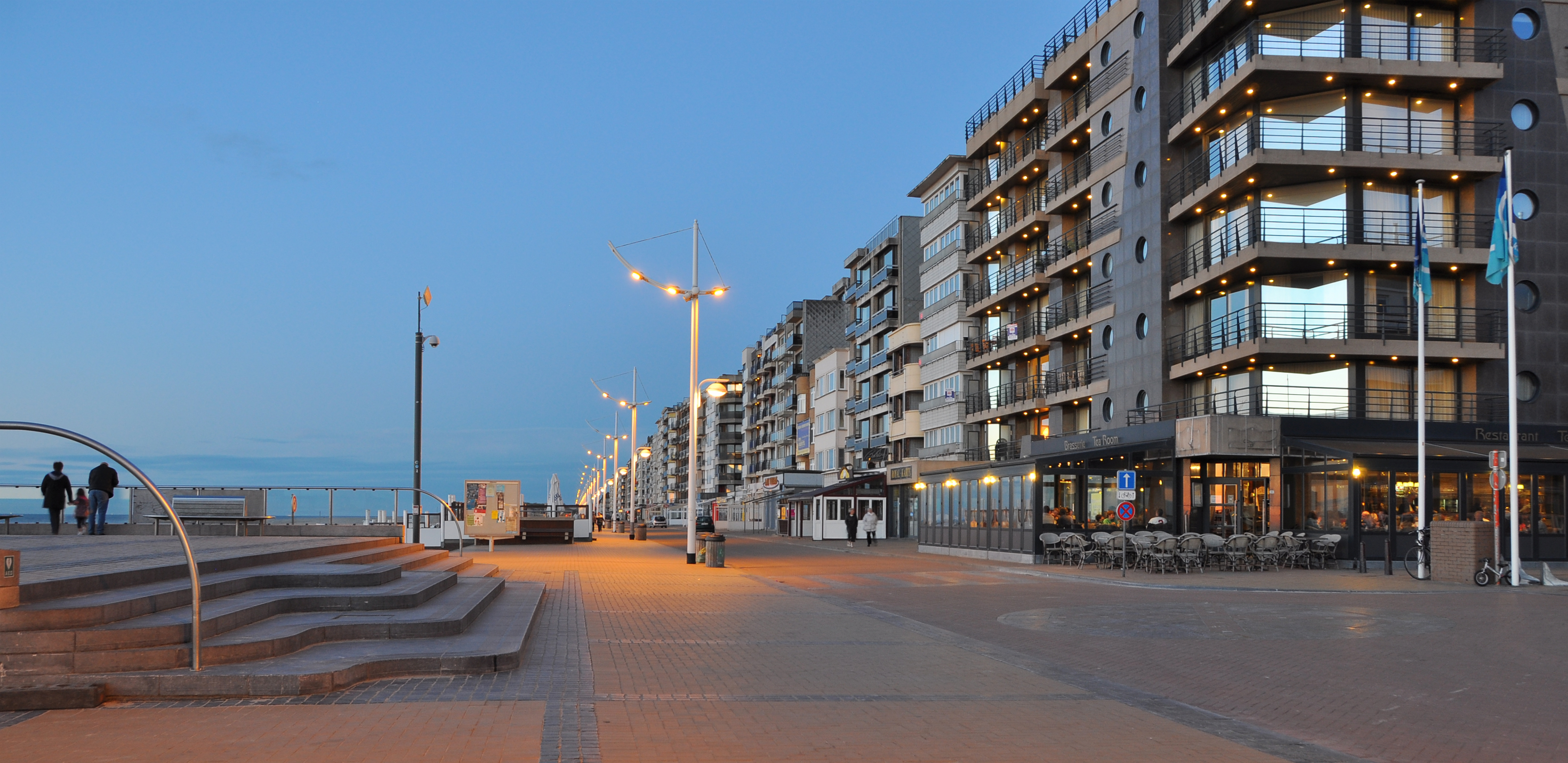
Raversijde
Raversijde is in Flanders a village that's a parish of Ostend and adjacent to Middelkerke which is located on the North Sea coast. Raversijde is located on the Kusttram, which is the coastal tramway. also has the remains of the Atlantic Wall in the..
Raversijde Wikipedia Page

About Our Data
The data on this page is estimated using a number of publicly available tools and resources. It is provided without warranty, and could contain inaccuracies. Use at your own risk.