Categories in Samtse
FarmingBuddhist templeCommunity CenterGovernment OfficeHindu templeConstruction of buildingsHardware storeEducationTourist AttractionBars, pubs and tavernsGrocery stores and supermarketsRestaurantsApartment BuildingApartment ComplexGeneral StoreShoppingShopping MallPlaygroundHotels and motelsHousing SocietyTransportation ServiceUnreachable
Industries
Business Distribution by Industry in Samtse
| Industry Description | Number of Establishments |
|---|---|
| Education | 20 |
| Public administration | 15 |
| Shopping | 14 |
| Other accommodation | 7 |
| Restaurants | 7 |
| Unreachable | 5 |
| Corporate management | 5 |
| Apartments | 5 |
| Playground | 5 |
Samtse Facts
| Area Codes | 5 |
| Local Time | |
| Timezone | Bhutan Time |
| Lat & Lng | 26.89903, 89.09951 |
Map of Samtse
Interactive Map
Area Codes
Percentage Area Codes used by businesses in Samtse
Recent Nearby Earthquakes
Magnitude 3.0 and greater
| Date▼ | Time↕ | Magnitude↕ | Distance↕ | Depth↕ | Location↕ | Link |
|---|---|---|---|---|---|---|
| 1/16/19 | 11:56 PM | 3.8 | 27.9 km | 10,000 m | 27km NW of Samtse, Bhutan | usgs.gov |
| 6/17/18 | 3:07 PM | 4.4 | 84.7 km | 49,760 m | 12km SSW of Mangan, India | usgs.gov |
| 3/26/17 | 9:42 PM | 4.5 | 60.5 km | 24,390 m | 5km SSE of Rangpo, India | usgs.gov |
| 3/7/17 | 10:28 AM | 4 | 2.4 km | 10,000 m | 2km NE of Samtse, Bhutan | usgs.gov |
| 3/12/16 | 4:15 PM | 3.9 | 13.8 km | 14,880 m | 9km NW of Birpara, India | usgs.gov |
| 2/13/16 | 9:37 PM | 3.7 | 16.6 km | 50,320 m | 16km NNE of Samtse, Bhutan | usgs.gov |
| 10/10/15 | 1:48 AM | 4.3 | 49.3 km | 48,220 m | 20km ESE of Gangtok, India | usgs.gov |
| 7/22/14 | 11:35 PM | 4 | 85.3 km | 14,910 m | 13km SE of Koch Bihar, India | usgs.gov |
| 12/4/13 | 1:05 PM | 4.7 | 57.5 km | 13,600 m | 27km SE of Hasimara, India | usgs.gov |
| 10/3/13 | 6:12 AM | 5.2 | 81.6 km | 9,870 m | 11km WNW of Singtam, India | usgs.gov |
Source: U.S. Geological Survey (USGS)
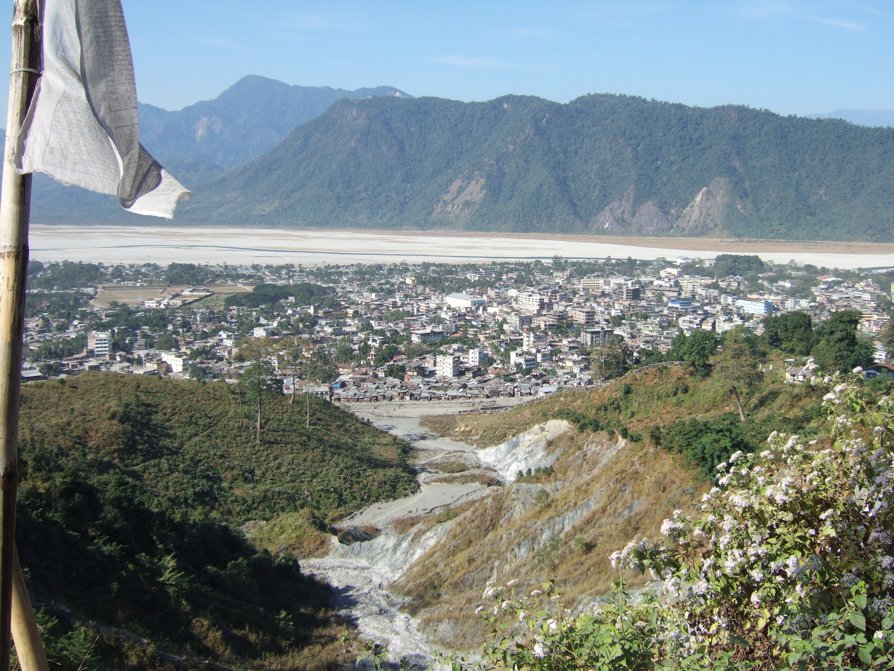
Samtse
Samtse, near the Indian border town of Chamurchi, is a town in Samtse District, Bhutan. The population was 60,100 at the 2005 census, and in 2010 is estimated at 65,387.
Samtse Wikipedia Page

About Our Data
The data on this page is estimated using a number of publicly available tools and resources. It is provided without warranty, and could contain inaccuracies. Use at your own risk.