Map of Wangdue Phodrang
Interactive Map
Recent Nearby Earthquakes
Magnitude 3.0 and greater
| Date▼ | Time↕ | Magnitude↕ | Distance↕ | Depth↕ | Location↕ | Link |
|---|---|---|---|---|---|---|
| 5/24/17 | 3:16 AM | 4.4 | 28.2 km | 28,390 m | 28km E of Wangdue Phodrang, Bhutan | usgs.gov |
| 2/13/16 | 9:37 PM | 3.7 | 86.9 km | 50,320 m | 16km NNE of Samtse, Bhutan | usgs.gov |
| 11/17/14 | 2:06 AM | 4.2 | 40.6 km | 31,870 m | 19km W of Trongsa, Bhutan | usgs.gov |
| 6/6/13 | 7:00 PM | 3.9 | 66.9 km | 10,000 m | 16km W of Gasa, Bhutan | usgs.gov |
| 7/10/12 | 1:03 PM | 4.7 | 88.3 km | 35,000 m | Bhutan | usgs.gov |
| 11/18/09 | 12:49 AM | 4.5 | 58.2 km | 43,900 m | Bhutan | usgs.gov |
| 11/7/09 | 11:00 PM | 4.1 | 94.9 km | 41,100 m | India-Bangladesh border region | usgs.gov |
| 7/6/08 | 3:05 AM | 4 | 58.5 km | 25,800 m | India-Bangladesh border region | usgs.gov |
| 2/23/08 | 1:39 PM | 3.9 | 46.1 km | 35,000 m | Bhutan | usgs.gov |
| 7/17/06 | 1:47 PM | 4.1 | 94.4 km | 10,000 m | India-Bangladesh border region | usgs.gov |
Source: U.S. Geological Survey (USGS)
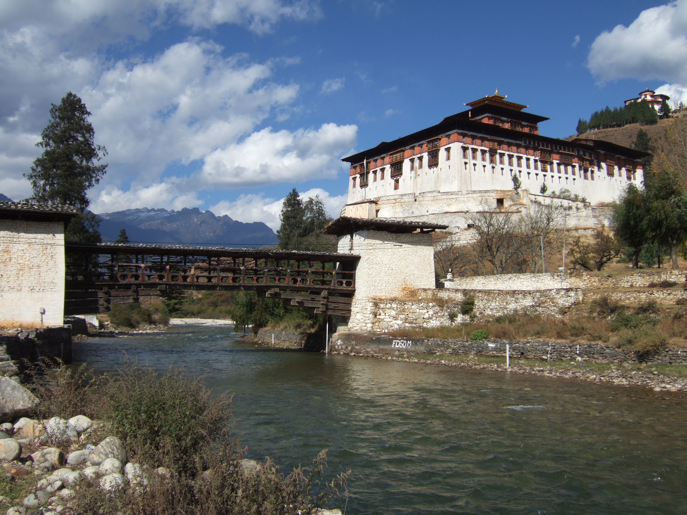
Wangdue Phodrang
Wangdue Phodrang (Tibetan: དབང་འདུས་ཕོ་བྲང་, Dzongkha 'Wangdi Phodr'a) is a town and capital (dzongkhag thromde) of Wangdue Phodrang District in central Bhutan. It is located in Thedtsho Gewog.
Wangdue Phodrang Wikipedia Page


About Our Data
The data on this page is estimated using a number of publicly available tools and resources. It is provided without warranty, and could contain inaccuracies. Use at your own risk.