Categories in Ottawa
Industries
Business Distribution by Industry in Ottawa
| Industry Description | Number of Establishments | Average Age of Business |
|---|---|---|
| Restaurants | 3,792 | 21 years |
| Corporate management | 3,126 | 23 years |
| Shopping | 2,816 | 24 years |
| Health and medical | 2,694 | 24 years |
| Real estate | 2,684 | 23 years |
| Lawyers legal | 2,370 | 22 years |
| Electronics stores | 2,138 | 21 years |
| Construction of buildings | 1,473 | 23 years |
| Shopping other | 1,404 | 23 years |
| Public administration | 1,265 | 30 years |
| Car repair | 1,091 | 25 years |
| General contractors | 1,059 | 22 years |
Ottawa Facts
| Area | 2890.8 km² |
| Population | 1,022,206 |
| Male Population | 495,792 (48.5%) |
| Female Population | 526,414 (51.5%) |
| Population change (1975 to 2020) | +113.0% |
| Population change (2000 to 2020) | +34.2% |
| Median Age | 39.1 years (Male: 38.2, Female: 40) |
| Area Codes | 613, 780 |
| Neighborhoods | Byward Market - Parliament Hill, Centretown, Industrial Park, Nepean, Centretown West |
| Local Time | |
| Timezone | Eastern Daylight Time |
| Lat & Lng | 45.41117, -75.69812 |
| Postal Codes | K1A, K1B, K1G, K1H, K1J, More |
Map of Ottawa
Interactive Map
Ottawa Population
Years 1975 to 2020
| Data | 1975 | 1990 | 2000 | 2015 | 2020 |
|---|---|---|---|---|---|
| Population | 479,850 | 642,946 | 761,686 | 967,529 | 1,022,206 |
| Population Density | 166 / km² | 222.4 / km² | 263.5 / km² | 334.7 / km² | 353.6 / km² |
Ottawa Population change from 2000 to 2015
Increase of 27% from year 2000 to 2015
| Location | Change since 1975 | Change since 1990 | Change since 2000 |
|---|---|---|---|
| Ottawa | +101.6% | +50.5% | +27% |
| Ontario | +52.6% | +28.6% | +16.4% |
| Canada | +55.8% | +30.2% | +17.2% |
Ottawa Median Age
Median Age: 39.1 years
| Location | Median Age | Median Age (Female) | Median Age (Male) |
|---|---|---|---|
| Ottawa | 39.1 yrs | 40 yrs | 38.2 yrs |
| Ontario | 40.6 yrs | 41.4 yrs | 39.6 yrs |
| Canada | 40.6 yrs | 41.5 yrs | 39.6 yrs |
Ottawa Population Density
Population Density: 354 / km²
| Location | Population | Area | Density |
|---|---|---|---|
| Ottawa | 1 million | 2,890.8 km² | 354 / km² |
| Ontario | 13.8 million | 1,078,182.8 km² | 12.8 / km² |
| Canada | 35.5 million | 9,875,295.4 km² | 3.6 / km² |
Ottawa Historical and Projected Population
Estimated Population from 1830 to 2100
- JRC (European Commission's Joint Research Centre) work on the GHS built-up grid
- CIESIN (Center for International Earth Science Information Network)
- [Link] Klein Goldewijk, K., Beusen, A., Doelman, J., and Stehfest, E.: Anthropogenic land use estimates for the Holocene – HYDE 3.2, Earth Syst. Sci. Data, 9, 927–953, https://doi.org/10.5194/essd-9-927-2017, 2017.
Neighborhoods in Ottawa
Percentage of businesses by neighborhood in Ottawa
Postal Codes
Percentage of businesses by Postal Codes in Ottawa
Price Distribution
Business distribution by price for Ottawa
Human Development Index (HDI)
Statistic composite index of life expectancy, education, and per capita income.
Ottawa CO2 Emissions
Carbon Dioxide (CO2) Emissions Per Capita in Tonnes Per Year
| Location | CO2 Emissions | CO2 Emissions Per Capita | CO2 Emissions Intensity |
|---|---|---|---|
| Ottawa | 17,584,456 tn | 17.2 tn | 6,083 tons/km² |
| Ontario | 197,940,137 tn | 14.38 tn | 183.6 tons/km² |
| Canada | 521,999,336 tn | 14.7 tn | 52.9 tons/km² |
| 2013 CO2 emissions (tonnes/year) | 17,584,456 tn |
| 2013 CO2 emissions (tonnes/year) per capita | 17.2 tn |
| 2013 CO2 emissions intensity (tonnes/km²/year) | 6,083 tons/km² |
Natural Hazards Risk
Relative risk out of 10
| Hazard | Risk Level |
|---|---|
| Earthquake | Medium (5.8) |
| Cyclone | Medium (5) |
* Risk, particularly concerning flood or landslide, may not be for the entire area.
- Dilley, M., R.S. Chen, U. Deichmann, A.L. Lerner-Lam, M. Arnold, J. Agwe, P. Buys, O. Kjekstad, B. Lyon, and G. Yetman. 2005. Natural Disaster Hotspots: A Global Risk Analysis. Washington, D.C.: World Bank. https://doi.org/10.1596/0-8213-5930-4.
- Center for Hazards and Risk Research - CHRR - Columbia University, Center for International Earth Science Information Network - CIESIN - Columbia University, International Bank for Reconstruction and Development - The World Bank, and United Nations Environment Programme Global Resource Information Database Geneva - UNEP/GRID-Geneva. 2005. Global Cyclone Hazard Frequency and Distribution. Palisades, NY: NASA Socioeconomic Data and Applications Center (SEDAC). https://doi.org/10.7927/H4CZ353K.
- Center for Hazards and Risk Research - CHRR - Columbia University, Center for International Earth Science Information Network - CIESIN - Columbia University. 2005. Global Earthquake Hazard Distribution - Peak Ground Acceleration. Palisades, NY: NASA Socioeconomic Data and Applications Center (SEDAC). https://doi.org/10.7927/H4BZ63ZS.
Recent Nearby Earthquakes
Magnitude 3.0 and greater
| Date▼ | Time↕ | Magnitude↕ | Distance↕ | Depth↕ | Location↕ | Link |
|---|---|---|---|---|---|---|
| 7/31/17 | 2:50 PM | 3.1 | 55.3 km | 21,500 m | 30km NNE of Val-des-Monts, Canada | usgs.gov |
| 11/28/15 | 5:16 AM | 3.23 | 90 km | 5,000 m | 4km S of Cornwall, Canada | usgs.gov |
| 9/9/15 | 7:17 PM | 3.19 | 65.9 km | 10,000 m | 20km NE of Shawville, Canada | usgs.gov |
| 7/15/15 | 10:00 PM | 3.27 | 90.6 km | 10,230 m | 13km SSE of Hawkesbury, Canada | usgs.gov |
| 7/4/14 | 10:55 PM | 3 | 86.7 km | 18,000 m | 27km NE of Saint-Andre-Avellin, Canada | usgs.gov |
| 6/30/13 | 8:40 AM | 3.1 | 63.3 km | 14,000 m | 19km NNE of Shawville, Canada | usgs.gov |
| 5/17/13 | 8:15 PM | 3.1 | 64.2 km | 18,000 m | 21km NNE of Shawville, Canada | usgs.gov |
| 5/17/13 | 1:53 PM | 3.63 | 64.1 km | 10,720 m | 18km NE of Shawville, Canada | usgs.gov |
| 5/17/13 | 1:43 PM | 5.06 | 64 km | 13,000 m | 19km NNE of Shawville, Canada | usgs.gov |
| 1/16/13 | 1:01 AM | 3 | 75.3 km | 18,000 m | southern Quebec, Canada | usgs.gov |
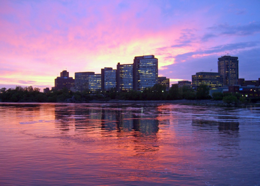
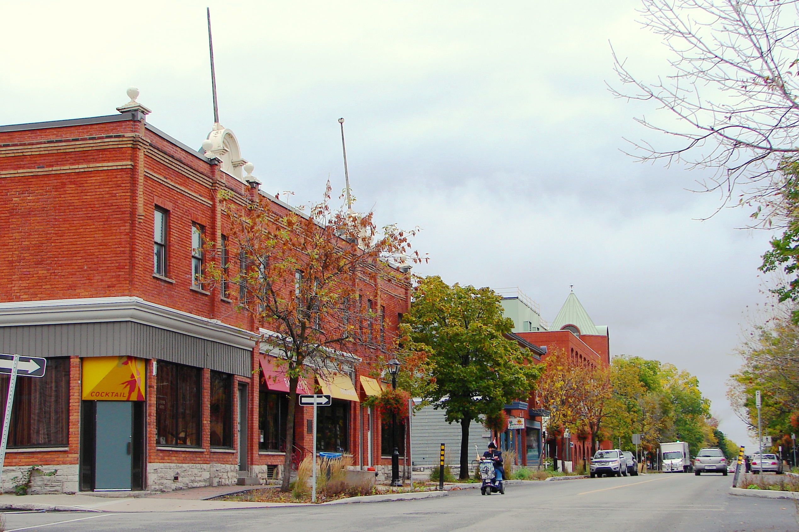
Ottawa
Ottawa (/ˈɒtəwə/ or /ˈɒtəwɑː/; French pronunciation: [ɔtawa]) is the capital city of Canada. It stands on the south bank of the Ottawa River in the eastern portion of Southern Ontario. Ottawa borders Gatineau, Quebec; the two form the core of the Ot..
Ottawa Wikipedia Page

About Our Data
The data on this page is estimated using a number of publicly available tools and resources. It is provided without warranty, and could contain inaccuracies. Use at your own risk.