Rauda Facts
| Area Codes | 36691 |
| Local Time | |
| Timezone | Central European Summer Time |
| Lat & Lng | 50.95275, 11.94248 |
Map of Rauda
Interactive Map
Recent Nearby Earthquakes
Magnitude 3.0 and greater
| Date▼ | Time↕ | Magnitude↕ | Distance↕ | Depth↕ | Location↕ | Link |
|---|---|---|---|---|---|---|
| 5/22/18 | 7:54 PM | 3.2 | 84.5 km | 10,000 m | 2km ENE of Luby, Czech Republic | usgs.gov |
| 5/21/18 | 9:04 PM | 4.1 | 79 km | 13,920 m | 2km SSE of Erlbach, Germany | usgs.gov |
| 4/16/15 | 6:38 AM | 3.3 | 55.8 km | 20,600 m | 1km NE of Grobers, Germany | usgs.gov |
| 5/31/14 | 10:37 AM | 3.8 | 90.4 km | 10,000 m | 4km NE of Skalna, Czech Republic | usgs.gov |
| 10/28/08 | 2:51 PM | 3.3 | 88.5 km | 9,400 m | Czech Republic | usgs.gov |
| 10/28/08 | 8:30 AM | 4.2 | 90 km | 10,000 m | Czech Republic | usgs.gov |
| 10/28/08 | 8:27 AM | 3.3 | 91.2 km | 8,400 m | Czech Republic | usgs.gov |
| 10/21/08 | 2:14 AM | 3.5 | 89.3 km | 10,000 m | Czech Republic | usgs.gov |
| 10/21/08 | 1:10 AM | 3 | 88.9 km | 10,000 m | Czech Republic | usgs.gov |
| 10/14/08 | 7:00 PM | 4.1 | 91.6 km | 6,800 m | Czech Republic | usgs.gov |
Source: U.S. Geological Survey (USGS)
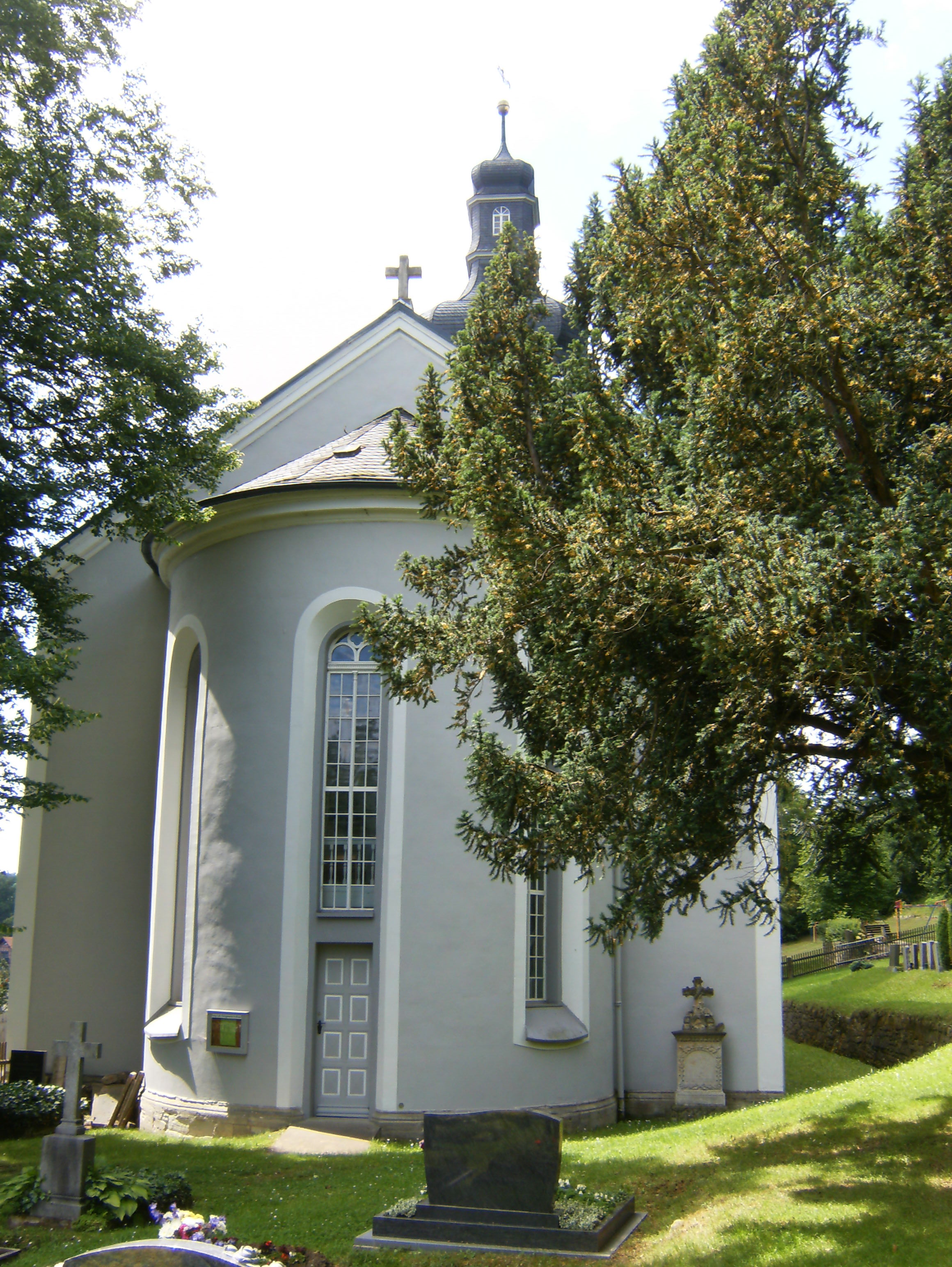
Rauda
Rauda is a municipality in the district Saale-Holzland, in Thuringia, Germany.
Rauda Wikipedia Page

About Our Data
The data on this page is estimated using a number of publicly available tools and resources. It is provided without warranty, and could contain inaccuracies. Use at your own risk.