Categories in Varel
Industries
Business Distribution by Industry in Varel
| Industry Description | Number of Establishments |
|---|---|
| Other accommodation | 242 |
| Restaurants | 167 |
| Shopping | 138 |
| Corporate management | 120 |
| Health and medical | 114 |
| Real estate | 88 |
| Construction of buildings | 76 |
| Holiday homes, cabins and resorts | 52 |
Varel Facts
| Area | 9.1 km² |
| Population | 11,337 |
| Male Population | 5,468 (48.2%) |
| Female Population | 5,869 (51.8%) |
| Population change (1975 to 2020) | -19.0% |
| Population change (2000 to 2020) | -9.5% |
| Median Age | 46.7 years (Male: 45.7, Female: 47.7) |
| Area Codes | 4451, 4453, 4454, 4456 |
| Neighborhoods | Dangast, Obenstrohe, Langendamm, Büppel, Dangastermoor |
| Local Time | |
| Timezone | Central European Summer Time |
| Lat & Lng | 53.39693, 8.13621 |
| Postal Codes | 26316 |
Map of Varel
Interactive Map
Varel Population
Years 1975 to 2020
| Data | 1975 | 1990 | 2000 | 2015 | 2020 |
|---|---|---|---|---|---|
| Population | 14,002 | 13,005 | 12,521 | 11,383 | 11,337 |
| Population Density | 1,545 / km² | 1,435 / km² | 1,381.6 / km² | 1,256.1 / km² | 1,251 / km² |
Varel Population change from 2000 to 2015
Decrease of 9.1% from year 2000 to 2015
| Location | Change since 1975 | Change since 1990 | Change since 2000 |
|---|---|---|---|
| Varel | -18.7% | -12.5% | -9.1% |
| Lower Saxony | +4.3% | +2.8% | -1.3% |
| Germany | +2.6% | +2.2% | -1.5% |
Varel Median Age
Median Age: 46.7 years
| Location | Median Age | Median Age (Female) | Median Age (Male) |
|---|---|---|---|
| Varel | 46.7 yrs | 47.7 yrs | 45.7 yrs |
| Lower Saxony | 44.8 yrs | 45.8 yrs | 43.7 yrs |
| Germany | 44.8 yrs | 46 yrs | 43.6 yrs |
Varel Population Density
Population Density: 1,251 / km²
| Location | Population | Area | Density |
|---|---|---|---|
| Varel | 11,337 | 9.1 km² | 1,251 / km² |
| Lower Saxony | 7.8 million | 47,789.6 km² | 164 / km² |
| Germany | 80.7 million | 358,179.8 km² | 225 / km² |
Varel Historical and Projected Population
Estimated Population from 0 to 2100
- JRC (European Commission's Joint Research Centre) work on the GHS built-up grid
- CIESIN (Center for International Earth Science Information Network)
- [Link] Klein Goldewijk, K., Beusen, A., Doelman, J., and Stehfest, E.: Anthropogenic land use estimates for the Holocene – HYDE 3.2, Earth Syst. Sci. Data, 9, 927–953, https://doi.org/10.5194/essd-9-927-2017, 2017.
Neighborhoods in Varel
Percentage of businesses by neighborhood in Varel
Price Distribution
Business distribution by price for Varel
Human Development Index (HDI)
Statistic composite index of life expectancy, education, and per capita income.
Varel CO2 Emissions
Carbon Dioxide (CO2) Emissions Per Capita in Tonnes Per Year
| Location | CO2 Emissions | CO2 Emissions Per Capita | CO2 Emissions Intensity |
|---|---|---|---|
| Varel | 112,645 tn | 9.94 tn | 12,429.8 tons/km² |
| Lower Saxony | 78,468,653 tn | 10.03 tn | 1,642 tons/km² |
| Germany | 755,339,039 tn | 9.36 tn | 2,108.8 tons/km² |
| 2013 CO2 emissions (tonnes/year) | 112,645 tn |
| 2013 CO2 emissions (tonnes/year) per capita | 9.94 tn |
| 2013 CO2 emissions intensity (tonnes/km²/year) | 12,429.8 tons/km² |
Recent Nearby Earthquakes
Magnitude 3.0 and greater
| Date▼ | Time↕ | Magnitude↕ | Distance↕ | Depth↕ | Location↕ | Link |
|---|---|---|---|---|---|---|
| 8/16/12 | 8:30 PM | 3.4 | 92.3 km | 3,000 m | The Netherlands | usgs.gov |
| 7/2/06 | 2:37 PM | 3 | 68.1 km | 5,000 m | Germany | usgs.gov |
| 7/15/05 | 3:02 PM | 4 | 61.6 km | 10,000 m | Germany | usgs.gov |
| 10/20/04 | 6:59 AM | 4.5 | 98.8 km | 5,500 m | Germany | usgs.gov |
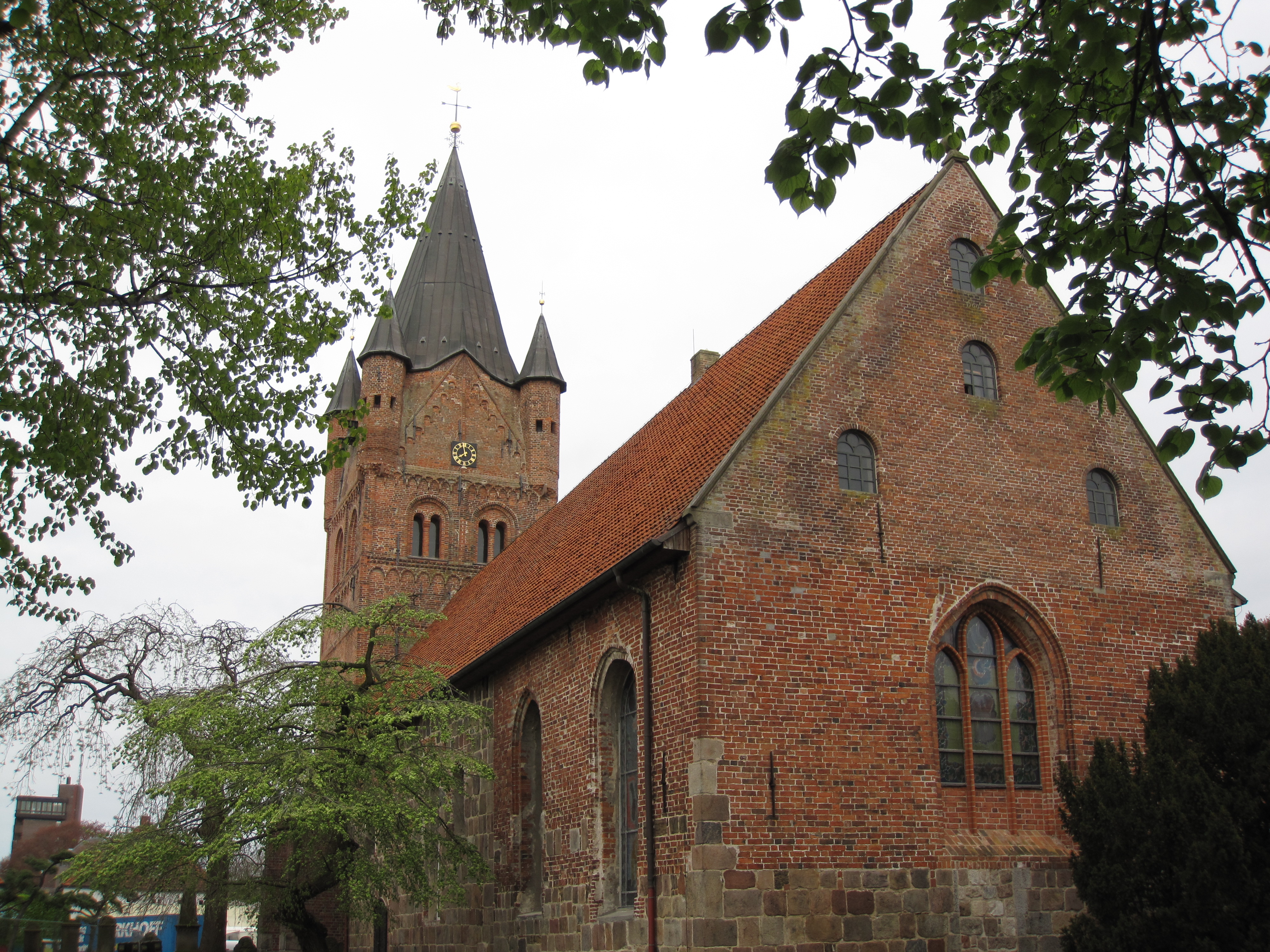
Varel
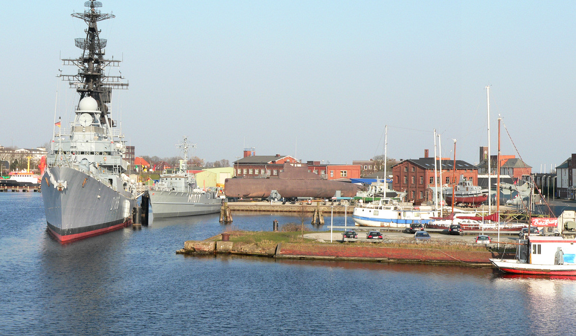
Varel ([ˈfaːʁəl]) is a town in the district of Friesland, in Lower Saxony, Germany. It is situated near the Jade River and the Jade Bight, approximately 15 kilometres (9.3 mi) south of Wilhelmshaven and 30 kilometres (19 mi) north of Oldenburg.
Varel Wikipedia Page

About Our Data
The data on this page is estimated using a number of publicly available tools and resources. It is provided without warranty, and could contain inaccuracies. Use at your own risk.