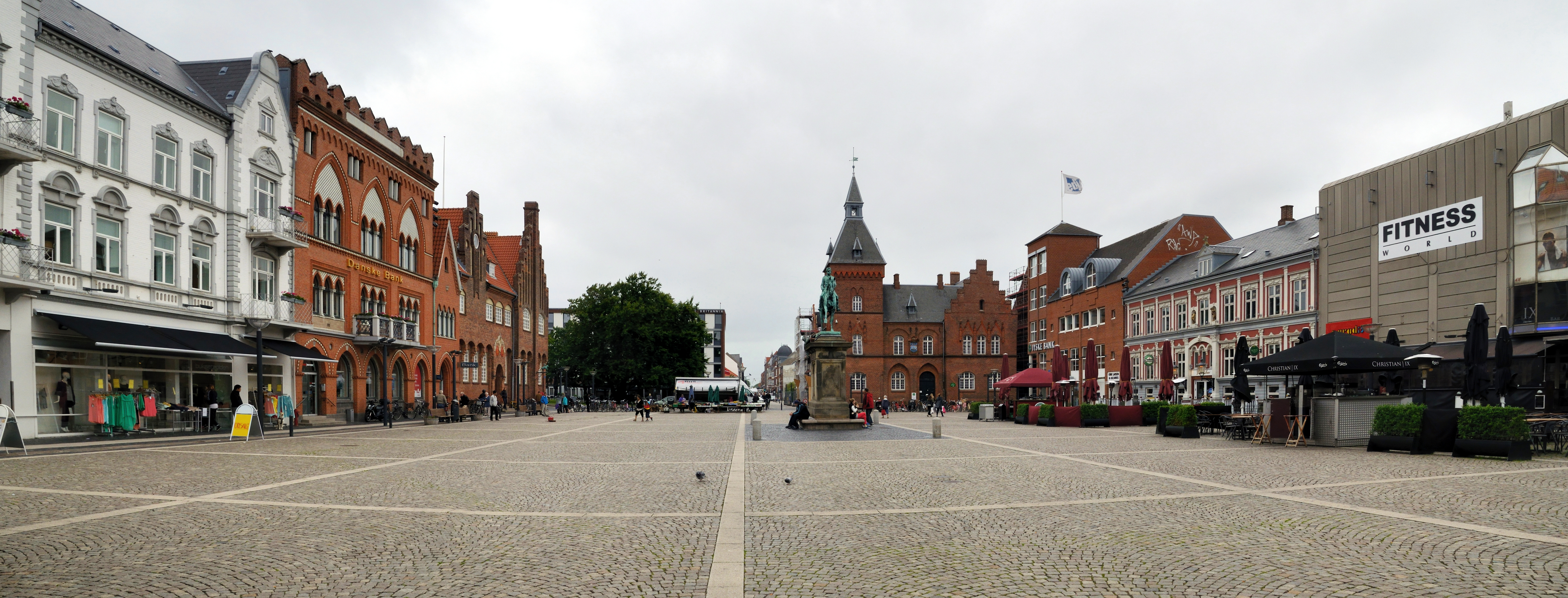
Categories in Bramming
Car Inspection StationCar & Light Vehicle DealershipsCar repairCar Repair and MaintenanceCar WashGas StationNew car dealersDairy FarmFarmingJoinerMachines WholesaleCleanersClothing storesShoe storesWomen's clothingAssociation or OrganizationCharitiesCultural AssociationDay Care CenterHomeowners' AssociationHuman Rights AssociationLutheran ChurchPolitical PartyProfessional and Hobby AssociationsReligious OrganizationShipping and Mailing ServiceShipping ServiceComputer ConsultantSoftware CompanyArchitectsBricklayerCarpenterCarpentry & WoodworkingConstruction of buildingsConstruction of housesContractorElectrical Installation ServiceElectricianEngineering Consultancy OfficeFlooring ServicesGeneral contractorsHeating installation and repairInsulation ContractorMasonry ContractorPainting and paint contractorsPaint StorePlumbing installation and repairDriving schoolsEducationEducational Institution
Showing 1-50 of 115
Industries
Business Distribution by Industry in Bramming
| Industry Description | Number of Establishments | Average Age of Business |
|---|---|---|
| Construction of buildings | 108 | 18 years |
| Corporate management | 84 | 24 years |
| Landscaping | 70 | 43 years |
| Shopping other | 68 | 26 years |
| Real estate | 63 | 25 years |
| Shopping | 60 | 19 years |
| Unreachable | 60 | — |
| Public administration | 44 | 30 years |
| Other membership organizations | 41 | 19 years |
| Other construction | 40 | 19 years |
| Education | 39 | 59 years |
| Technical construction services | 38 | — |
Bramming Facts
| Area | 4.3 km² |
| Population | 5,682 |
| Male Population | 2,832 (49.8%) |
| Female Population | 2,850 (50.2%) |
| Population change (1975 to 2020) | +15.3% |
| Population change (2000 to 2020) | +2.3% |
| Median Age | 41.2 years (Male: 40.2, Female: 42.1) |
| Neighborhoods | Kongsmark |
| Local Time | |
| Timezone | Central European Summer Time |
| Lat & Lng | 55.46946, 8.70007 |
| Postal Codes | 6740 |
Map of Bramming
Interactive Map
Bramming Population
Years 1975 to 2020
| Data | 1975 | 1990 | 2000 | 2015 | 2020 |
|---|---|---|---|---|---|
| Population | 4,929 | 5,408 | 5,553 | 5,564 | 5,682 |
| Population Density | 1,159.8 / km² | 1,272.5 / km² | 1,306.6 / km² | 1,309.2 / km² | 1,336.9 / km² |
Sources: JRC (European Commission's Joint Research Centre) work on the GHS built-up grid
Bramming Population change from 2000 to 2015
Increase of 0.2% from year 2000 to 2015
| Location | Change since 1975 | Change since 1990 | Change since 2000 |
|---|---|---|---|
| Bramming | +12.9% | +2.9% | +0.2% |
| Region of Southern Denmark | +4.3% | +4.1% | +2.2% |
| Denmark | +12.1% | +10.4% | +6.3% |
Sources: JRC (European Commission's Joint Research Centre) work on the GHS built-up grid
Bramming Median Age
Median Age: 41.2 years
| Location | Median Age | Median Age (Female) | Median Age (Male) |
|---|---|---|---|
| Bramming | 41.2 yrs | 42.1 yrs | 40.2 yrs |
| Region of Southern Denmark | 41.6 yrs | 42.4 yrs | 40.8 yrs |
| Denmark | 40.5 yrs | 41.3 yrs | 39.6 yrs |
Sources: CIESIN (Center for International Earth Science Information Network)
Bramming Population Density
Population Density: 1,337 / km²
| Location | Population | Area | Density |
|---|---|---|---|
| Bramming | 5,682 | 4.25 km² | 1,337 / km² |
| Region of Southern Denmark | 1.2 million | 12,185.6 km² | 97.6 / km² |
| Denmark | 5.5 million | 43,072 km² | 129 / km² |
Sources: JRC (European Commission's Joint Research Centre) work on the GHS built-up grid
Bramming Historical and Projected Population
Estimated Population from 0 to 2100
Sources:
- JRC (European Commission's Joint Research Centre) work on the GHS built-up grid
- CIESIN (Center for International Earth Science Information Network)
- [Link] Klein Goldewijk, K., Beusen, A., Doelman, J., and Stehfest, E.: Anthropogenic land use estimates for the Holocene – HYDE 3.2, Earth Syst. Sci. Data, 9, 927–953, https://doi.org/10.5194/essd-9-927-2017, 2017.
Price Distribution
Business distribution by price for Bramming
Human Development Index (HDI)
Statistic composite index of life expectancy, education, and per capita income.
Source: [Link] Kummu, M., Taka, M. &Guillaume, J. Gridded global datasets for Gross Domestic Product and Human Development Index over 1990–2015. Sci Data 5, 180004 (2018) doi:10.1038/sdata.2018.4
Bramming CO2 Emissions
Carbon Dioxide (CO2) Emissions Per Capita in Tonnes Per Year
| Location | CO2 Emissions | CO2 Emissions Per Capita | CO2 Emissions Intensity |
|---|---|---|---|
| Bramming | 64,272 tn | 11.31 tn | 15,122.8 tons/km² |
| Region of Southern Denmark | 13,078,559 tn | 11 tn | 1,073.3 tons/km² |
| Denmark | 59,647,725 tn | 10.75 tn | 1,384.8 tons/km² |
Sources: [Link] Moran, D., Kanemoto K; Jiborn, M., Wood, R., Többen, J., and Seto, K.C. (2018) Carbon footprints of 13,000 cities. Environmental Research Letters DOI: 10.1088/1748-9326/aac72a
Bramming CO2 Emissions
| 2013 CO2 emissions (tonnes/year) | 64,272 tn |
| 2013 CO2 emissions (tonnes/year) per capita | 11.31 tn |
| 2013 CO2 emissions intensity (tonnes/km²/year) | 15,122.8 tons/km² |
Natural Hazards Risk
Relative risk out of 10
| Hazard | Risk Level |
|---|---|
| Drought | Low (2) |
* Risk, particularly concerning flood or landslide, may not be for the entire area.
Sources:
- Dilley, M., R.S. Chen, U. Deichmann, A.L. Lerner-Lam, M. Arnold, J. Agwe, P. Buys, O. Kjekstad, B. Lyon, and G. Yetman. 2005. Natural Disaster Hotspots: A Global Risk Analysis. Washington, D.C.: World Bank. https://doi.org/10.1596/0-8213-5930-4.
- Center for Hazards and Risk Research - CHRR - Columbia University, Center for International Earth Science Information Network - CIESIN - Columbia University, and International Research Institute for Climate and Society - IRI - Columbia University. 2005. Global Drought Hazard Frequency and Distribution. Palisades, NY: NASA Socioeconomic Data and Applications Center (SEDAC). https://doi.org/10.7927/H4VX0DFT.


About Our Data
The data on this page is estimated using a number of publicly available tools and resources. It is provided without warranty, and could contain inaccuracies. Use at your own risk.