Categories in Grarem
Industries
Business Distribution by Industry in Grarem
| Industry Description | Number of Establishments |
|---|---|
| Shopping | 5 |
Grarem Facts
| Local Time | |
| Timezone | Central European Standard Time |
| Lat & Lng | 36.51611, 6.32722 |
| Postal Codes | 43004 |
Map of Grarem
Interactive Map
Area Codes
Percentage Area Codes used by businesses in Grarem
Recent Nearby Earthquakes
Magnitude 3.0 and greater
| Date▼ | Time↕ | Magnitude↕ | Distance↕ | Depth↕ | Location↕ | Link |
|---|---|---|---|---|---|---|
| 7/13/19 | 9:56 AM | 5 | 82.9 km | 10,000 m | 31km N of Jijel, Algeria | usgs.gov |
| 7/20/18 | 9:32 AM | 4.2 | 91.2 km | 10,000 m | 21km ENE of Bougaa, Algeria | usgs.gov |
| 3/5/17 | 1:46 AM | 4.7 | 37 km | 10,380 m | 13km NE of Didouche Mourad, Algeria | usgs.gov |
| 5/8/15 | 5:48 AM | 4.3 | 92.7 km | 10,000 m | 24km ENE of Bejaia, Algeria | usgs.gov |
| 3/25/14 | 12:12 AM | 4.2 | 79.7 km | 10,000 m | 19km NW of Jijel, Algeria | usgs.gov |
| 5/19/13 | 9:07 AM | 5 | 97.6 km | 6,700 m | 13km ESE of Bejaia, Algeria | usgs.gov |
| 2/22/13 | 12:30 PM | 4.5 | 97.3 km | 11,400 m | 24km NE of Bejaia, Algeria | usgs.gov |
| 6/3/12 | 2:57 PM | 4 | 97.2 km | 10,000 m | northern Algeria | usgs.gov |
| 4/10/10 | 8:38 AM | 4.1 | 99.9 km | 5,000 m | northern Algeria | usgs.gov |
| 9/2/08 | 8:58 PM | 3.9 | 77.2 km | 0 m | northern Algeria | usgs.gov |
Source: U.S. Geological Survey (USGS)
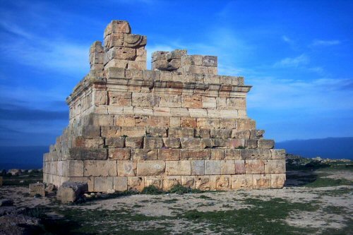
Grarem
Grarem is a municipality in Mila Province, Algeria. Grarem Gouga is the administrative center. took its name from two different entities. In fact, Grarem comes from the word guroum which means rock or pebble while Gouga is the name of a native hero..
Grarem Wikipedia Page


About Our Data
The data on this page is estimated using a number of publicly available tools and resources. It is provided without warranty, and could contain inaccuracies. Use at your own risk.