Industries
Business Distribution by Industry in Menaceur
| Industry Description | Number of Establishments |
|---|---|
| Apartments | 6 |
| Primary and elementary schools | 5 |
| Pharmacies and drug stores | 5 |
| Education | 5 |
Menaceur Facts
| Local Time | |
| Timezone | Central European Standard Time |
| Lat & Lng | 36.49389, 2.24306 |
Map of Menaceur
Interactive Map
Recent Nearby Earthquakes
Magnitude 3.0 and greater
| Date▼ | Time↕ | Magnitude↕ | Distance↕ | Depth↕ | Location↕ | Link |
|---|---|---|---|---|---|---|
| 1/8/18 | 4:20 PM | 4.5 | 22 km | 10,000 m | 6km ESE of Hadjout, Algeria | usgs.gov |
| 1/2/18 | 8:59 PM | 4.7 | 29.9 km | 8,260 m | 11km SW of El Affroun, Algeria | usgs.gov |
| 6/11/16 | 10:57 PM | 4.1 | 17.8 km | 10,000 m | 11km WNW of Tipasa, Algeria | usgs.gov |
| 11/2/09 | 7:28 AM | 4.4 | 50.2 km | 10,100 m | northern Algeria | usgs.gov |
| 10/12/08 | 1:20 AM | 3.2 | 40.7 km | 0 m | northern Algeria | usgs.gov |
| 9/28/08 | 2:36 AM | 4 | 43.7 km | 0 m | northern Algeria | usgs.gov |
| 4/10/08 | 8:54 PM | 3.6 | 48.6 km | 0 m | northern Algeria | usgs.gov |
| 2/16/08 | 9:33 PM | 3.8 | 16.6 km | 10,000 m | northern Algeria | usgs.gov |
| 2/16/08 | 8:12 PM | 3.1 | 41.1 km | 0 m | northern Algeria | usgs.gov |
| 2/8/08 | 8:50 PM | 3.9 | 58.3 km | 0 m | northern Algeria | usgs.gov |
Source: U.S. Geological Survey (USGS)
Menaceur
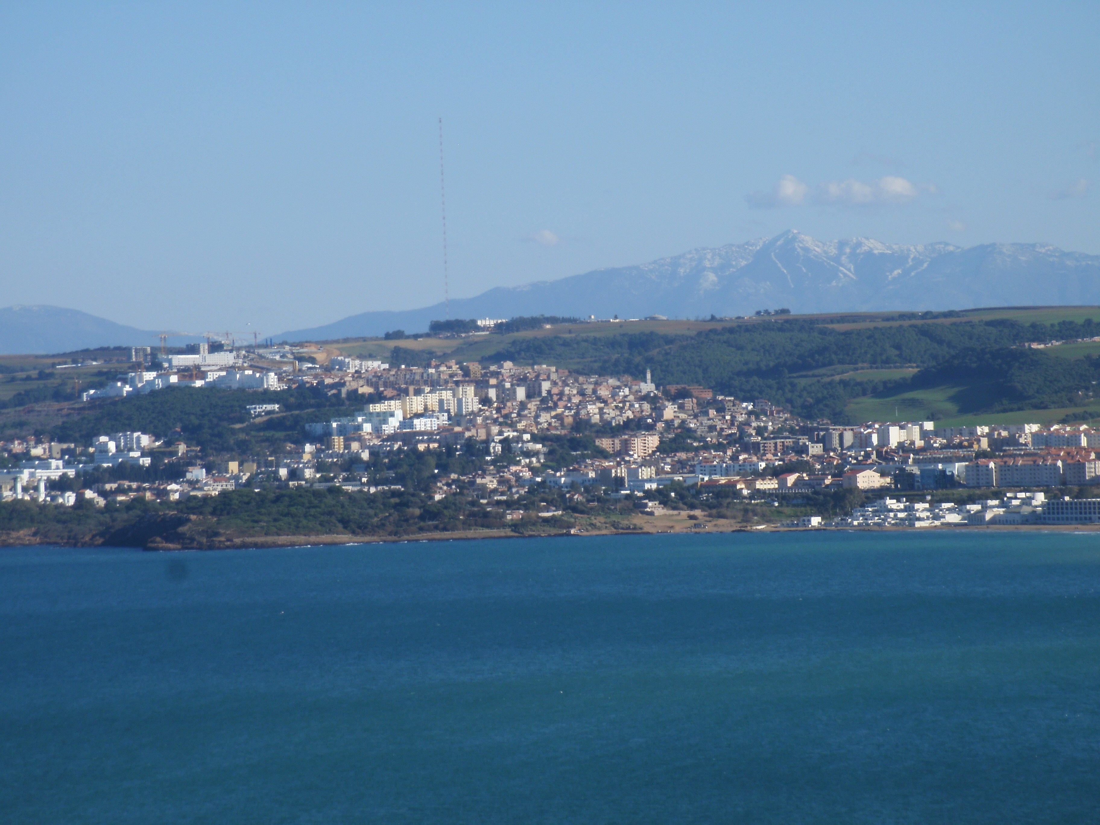
Menaceur is a small town and commune in Algeria, situated about 100 km west of Algiers. Menaceur has a population of 40,000. The Bouchanoun River passes through Menaceur. Nearby mountains include Zabrir, el Pic, Boumaad, and Tizi Franco.
Menaceur Wikipedia Page

About Our Data
The data on this page is estimated using a number of publicly available tools and resources. It is provided without warranty, and could contain inaccuracies. Use at your own risk.