Roknia Facts
| Local Time | |
| Timezone | Central European Standard Time |
| Lat & Lng | 36.54857, 7.22861 |
Map of Roknia
Interactive Map
Recent Nearby Earthquakes
Magnitude 3.0 and greater
| Date▼ | Time↕ | Magnitude↕ | Distance↕ | Depth↕ | Location↕ | Link |
|---|---|---|---|---|---|---|
| 3/5/17 | 1:46 AM | 4.7 | 43.9 km | 10,380 m | 13km NE of Didouche Mourad, Algeria | usgs.gov |
| 1/9/12 | 12:45 PM | 4.2 | 87.3 km | 8,500 m | Tunisia | usgs.gov |
| 11/5/08 | 5:38 AM | 3.9 | 89.6 km | 5,000 m | northern Algeria | usgs.gov |
| 6/2/08 | 8:02 PM | 3.9 | 26.4 km | 10,000 m | northern Algeria | usgs.gov |
| 6/2/08 | 5:36 PM | 4.5 | 63.1 km | 700 m | northern Algeria | usgs.gov |
| 5/17/08 | 5:15 PM | 4.3 | 8.1 km | 10,000 m | northern Algeria | usgs.gov |
| 1/31/08 | 6:04 PM | 4.4 | 30.9 km | 0 m | northern Algeria | usgs.gov |
| 12/5/07 | 2:34 AM | 4.2 | 84.6 km | 0 m | northern Algeria | usgs.gov |
| 4/26/06 | 8:25 AM | 4.2 | 71.7 km | 2,000 m | northern Algeria | usgs.gov |
| 1/7/06 | 1:54 PM | 4 | 25.7 km | 0 m | northern Algeria | usgs.gov |
Source: U.S. Geological Survey (USGS)
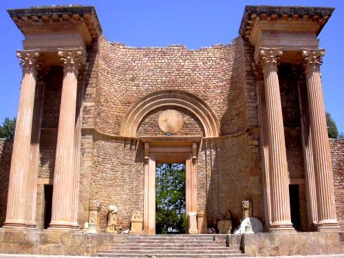
Roknia
Roknia is a necropolis in the Guelma region of north-east Algeria consisting of more than 7000 dolmens spread over an area of 2 km.
Roknia Wikipedia Page


About Our Data
The data on this page is estimated using a number of publicly available tools and resources. It is provided without warranty, and could contain inaccuracies. Use at your own risk.