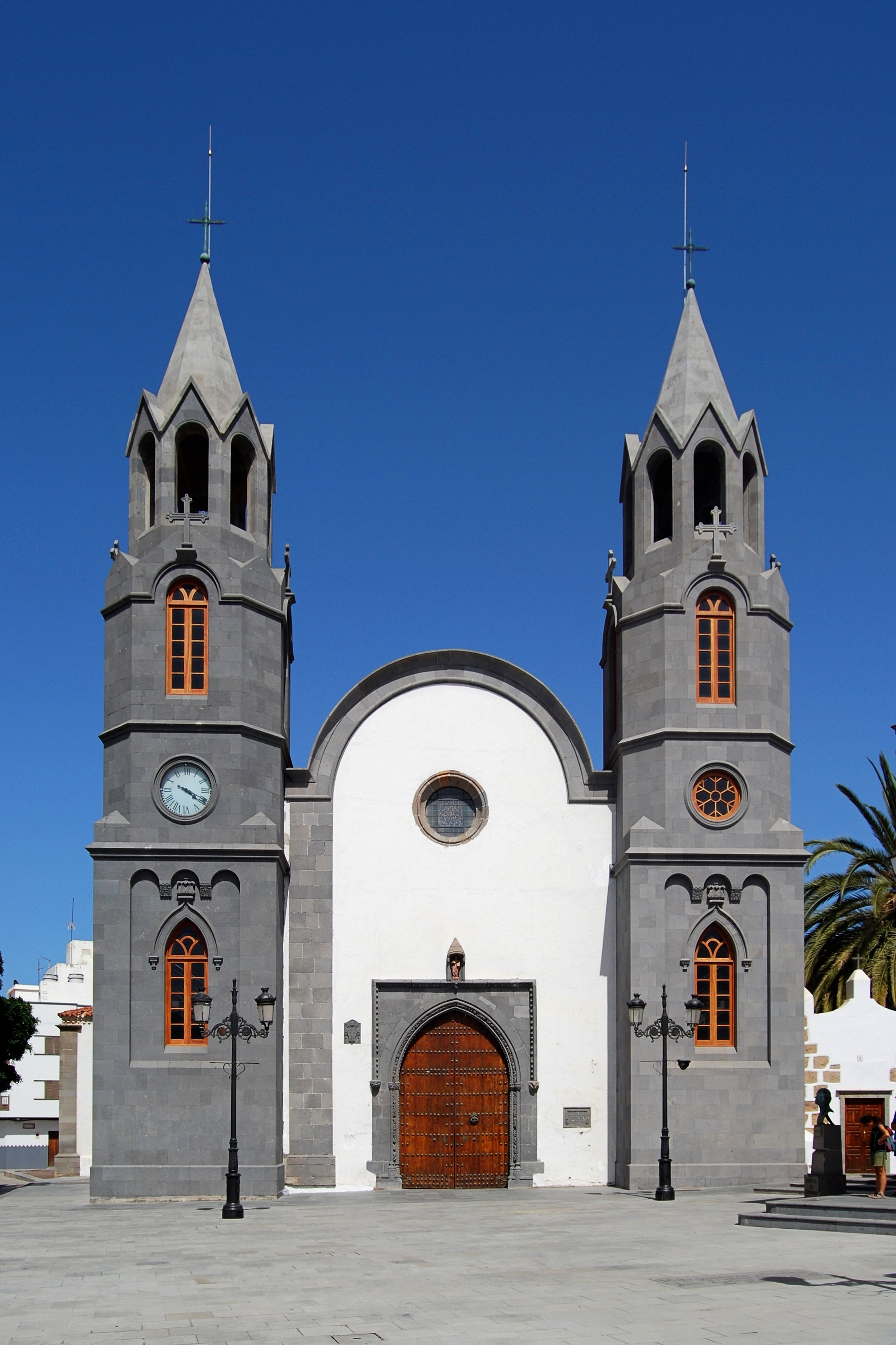
Categories in Arucas
Auto Parts StoreCar repairCar Repair and MaintenanceGas StationMechanicNew car dealersBuilding Materials SupplierGarage Door SupplierHandicraftClothing storesDress StoreFashion Accessories StoreJewelers and watchesMen's clothingShoe storesWomen's clothingMobile phone storesChurchesCity Government OfficeCity or Town HallGovernment OfficeLocal Government OfficeRetirement HomeComputer Repair ServiceAppliance StoreArchitectsArchitecture FirmCabinet StoreConstruction of buildingsElectricianGeneral contractorsHardware storeHome Goods StoreHousing DevelopmentOther constructionPaint StorePlumbing installation and repairWood Floor Installation ServiceDriving schoolsEducationEducational InstitutionEducation CenterGymnastics CenterLanguage SchoolYoga StudioGraphic DesignerMuseumsPhotographerPhotography StudioTourist Attraction
Showing 1-50 of 133
Industries
Business Distribution by Industry in Arucas
| Industry Description | Number of Establishments |
|---|---|
| Restaurants | 72 |
| Shopping | 68 |
| Grocery stores and supermarkets | 39 |
| Car repair | 37 |
| Education | 32 |
| Corporate management | 32 |
| Clothing stores | 25 |
| All food and beverage | 25 |
| Pharmacies and drug stores | 25 |
| Bars, pubs and taverns | 24 |
| Beauty salons | 24 |
| Cafes | 24 |
| Shopping other | 23 |
| Hotels and motels | 22 |
| Public administration | 22 |
| Art galleries | 20 |
| Construction of buildings | 19 |
| Banks | 19 |
| Travel agencies | 19 |
| Hospitals | 19 |
| Hardware store | 19 |
| Hairdressers | 19 |
Arucas Facts
| Area | 1.1 km² |
| Population | 5,239 |
| Male Population | 2,616 (49.9%) |
| Female Population | 2,623 (50.1%) |
| Population change (1975 to 2020) | +66.6% |
| Population change (2000 to 2020) | +20.9% |
| Median Age | 39.8 years (Male: 39.5, Female: 40.1) |
| Neighborhoods | El Terrero, Hoya de San Juan, Guanarteme, Tenoya, Tamaraceite |
| Local Time | |
| Timezone | Western European Summer Time |
| Lat & Lng | 28.11983, -15.52325 |
| Postal Codes | 35400 |
Map of Arucas
Interactive Map
Arucas Population
Years 1975 to 2020
| Data | 1975 | 1990 | 2000 | 2015 | 2020 |
|---|---|---|---|---|---|
| Population | 3,145 | 3,873 | 4,332 | 5,042 | 5,239 |
| Population Density | 2,960 / km² | 3,645.2 / km² | 4,077.2 / km² | 4,745.4 / km² | 4,930.8 / km² |
Sources: JRC (European Commission's Joint Research Centre) work on the GHS built-up grid
Arucas Population change from 2000 to 2015
Increase of 16.4% from year 2000 to 2015
| Location | Change since 1975 | Change since 1990 | Change since 2000 |
|---|---|---|---|
| Arucas | +60.3% | +30.2% | +16.4% |
| Spain | +28.4% | +17.7% | +13.2% |
Sources: JRC (European Commission's Joint Research Centre) work on the GHS built-up grid
Arucas Median Age
Median Age: 39.8 years
| Location | Median Age | Median Age (Female) | Median Age (Male) |
|---|---|---|---|
| Arucas | 39.8 yrs | 40.1 yrs | 39.5 yrs |
| Spain | 40.8 yrs | 42 yrs | 39.7 yrs |
Sources: CIESIN (Center for International Earth Science Information Network)
Arucas Population Density
Population Density: 4,931 / km²
| Location | Population | Area | Density |
|---|---|---|---|
| Arucas | 5,239 | 1.063 km² | 4,931 / km² |
| Spain | 45.3 million | 505,993.5 km² | 89.5 / km² |
Sources: JRC (European Commission's Joint Research Centre) work on the GHS built-up grid
Arucas Historical and Projected Population
Estimated Population from 0 to 2100
Sources:
- JRC (European Commission's Joint Research Centre) work on the GHS built-up grid
- CIESIN (Center for International Earth Science Information Network)
- [Link] Klein Goldewijk, K., Beusen, A., Doelman, J., and Stehfest, E.: Anthropogenic land use estimates for the Holocene – HYDE 3.2, Earth Syst. Sci. Data, 9, 927–953, https://doi.org/10.5194/essd-9-927-2017, 2017.
Neighborhoods in Arucas
Percentage of businesses by neighborhood in Arucas
Area Codes
Percentage Area Codes used by businesses in Arucas
Postal Codes
Percentage of businesses by Postal Codes in Arucas
Price Distribution
Business distribution by price for Arucas
Human Development Index (HDI)
Statistic composite index of life expectancy, education, and per capita income.
Source: [Link] Kummu, M., Taka, M. &Guillaume, J. Gridded global datasets for Gross Domestic Product and Human Development Index over 1990–2015. Sci Data 5, 180004 (2018) doi:10.1038/sdata.2018.4
Arucas CO2 Emissions
Carbon Dioxide (CO2) Emissions Per Capita in Tonnes Per Year
| Location | CO2 Emissions | CO2 Emissions Per Capita | CO2 Emissions Intensity |
|---|---|---|---|
| Arucas | 36,272 tn | 6.92 tn | 34,137.9 tons/km² |
| Spain | 330,097,501 tn | 7.29 tn | 652.4 tons/km² |
Sources: [Link] Moran, D., Kanemoto K; Jiborn, M., Wood, R., Többen, J., and Seto, K.C. (2018) Carbon footprints of 13,000 cities. Environmental Research Letters DOI: 10.1088/1748-9326/aac72a
Arucas CO2 Emissions
| 2013 CO2 emissions (tonnes/year) | 36,272 tn |
| 2013 CO2 emissions (tonnes/year) per capita | 6.92 tn |
| 2013 CO2 emissions intensity (tonnes/km²/year) | 34,137.9 tons/km² |
Recent Nearby Earthquakes
Magnitude 3.0 and greater
| Date▼ | Time↕ | Magnitude↕ | Distance↕ | Depth↕ | Location↕ | Link |
|---|---|---|---|---|---|---|
| 1/18/19 | 6:36 AM | 4.4 | 46.7 km | 10,000 m | 33km NW of Agaete, Spain | usgs.gov |
| 6/28/08 | 7:15 AM | 3.2 | 25.8 km | 41,000 m | Canary Islands, Spain region | usgs.gov |
| 5/13/08 | 7:45 AM | 3.5 | 59.6 km | 30,300 m | Canary Islands, Spain region | usgs.gov |
| 3/15/08 | 5:09 AM | 3.4 | 22.6 km | 54,900 m | Canary Islands, Spain region | usgs.gov |
| 12/27/07 | 6:05 PM | 3 | 63.3 km | 0 m | Canary Islands, Spain region | usgs.gov |
| 6/3/07 | 5:48 PM | 3.1 | 66.3 km | 25,200 m | Canary Islands, Spain region | usgs.gov |
| 4/12/07 | 2:19 AM | 3.3 | 25.8 km | 55,000 m | Canary Islands, Spain region | usgs.gov |
| 7/16/04 | 9:31 AM | 3.4 | 48.8 km | 17,300 m | Canary Islands, Spain region | usgs.gov |
| 4/28/03 | 11:22 PM | 3.3 | 66.5 km | 23,800 m | Canary Islands, Spain region | usgs.gov |
| 3/2/03 | 12:07 AM | 3.1 | 64.5 km | 31,000 m | Canary Islands, Spain region | usgs.gov |
Source: U.S. Geological Survey (USGS)


About Our Data
The data on this page is estimated using a number of publicly available tools and resources. It is provided without warranty, and could contain inaccuracies. Use at your own risk.