Qullissat Facts
| Local Time | |
| Timezone | Greenland Summer Time |
| Lat & Lng | 70.08333, -53.01667 |
Map of Qullissat
Interactive Map
Recent Nearby Earthquakes
Magnitude 3.0 and greater
| Date▼ | Time↕ | Magnitude↕ | Distance↕ | Depth↕ | Location↕ | Link |
|---|---|---|---|---|---|---|
| 8/20/10 | 8:52 PM | 4 | 51.2 km | 18,000 m | western Greenland | usgs.gov |
| 7/11/08 | 9:11 PM | 4.1 | 77.9 km | 10,000 m | western Greenland | usgs.gov |
| 2/16/06 | 6:27 AM | 3.7 | 95.3 km | 10,000 m | western Greenland | usgs.gov |
| 2/16/06 | 2:42 AM | 3.6 | 67.2 km | 18,000 m | western Greenland | usgs.gov |
| 2/16/06 | 12:32 AM | 4 | 74.2 km | 18,000 m | western Greenland | usgs.gov |
Source: U.S. Geological Survey (USGS)
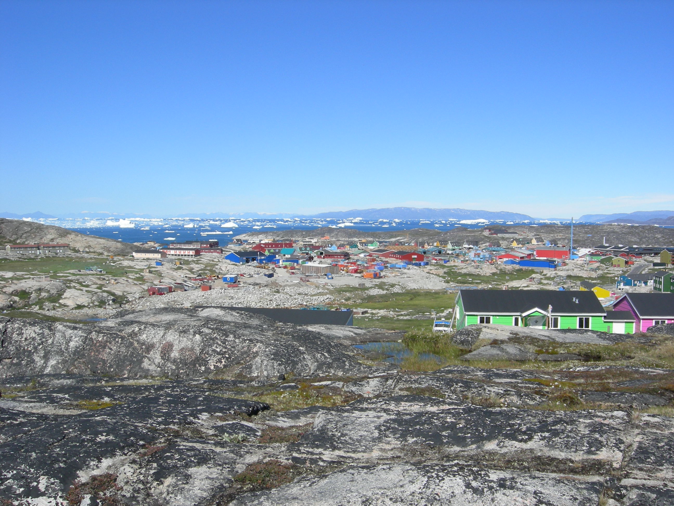
Qullissat
Qullissat (old spelling: Qutdligssat) is a former settlement in the Qaasuitsup municipality in western Greenland. It was a coal mining town founded to exploit the national resources of Disko Island. The mines operated for 48 years until 1972, when th..
Qullissat Wikipedia Page


About Our Data
The data on this page is estimated using a number of publicly available tools and resources. It is provided without warranty, and could contain inaccuracies. Use at your own risk.