Uunarteq Facts
| Local Time | |
| Timezone | Greenland Summer Time |
| Lat & Lng | 70.41667, -21.98333 |
Map of Uunarteq
Interactive Map
Recent Nearby Earthquakes
Magnitude 3.0 and greater
| Date▼ | Time↕ | Magnitude↕ | Distance↕ | Depth↕ | Location↕ | Link |
|---|---|---|---|---|---|---|
| 11/27/97 | 9:29 AM | 4.4 | 47 km | 10,000 m | eastern Greenland | usgs.gov |
| 3/31/92 | 2:58 AM | 4 | 42.7 km | 10,000 m | eastern Greenland | usgs.gov |
| 5/25/74 | 8:13 PM | 4.7 | 72.3 km | 33,000 m | eastern Greenland | usgs.gov |
Source: U.S. Geological Survey (USGS)
Uunarteq
Uunarteq, formerly Kap Tobin, is an abandoned settlement in the Sermersooq municipality in eastern Greenland, located 7 km (4.3 mi) south of Ittoqqortoormiit.
Uunarteq Wikipedia Page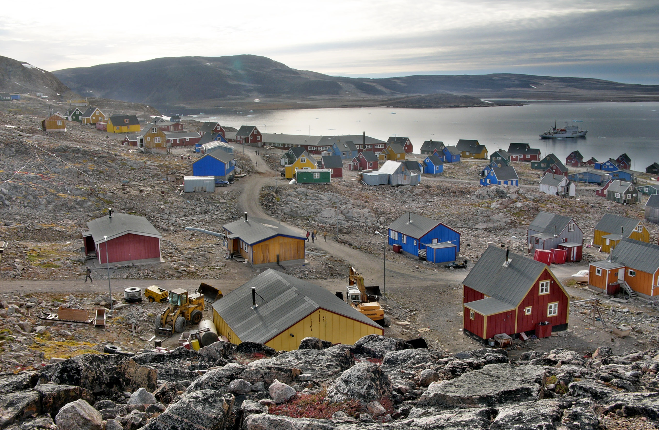
About Our Data
The data on this page is estimated using a number of publicly available tools and resources. It is provided without warranty, and could contain inaccuracies. Use at your own risk.