Kampoi Facts
| Local Time | |
| Timezone | Eastern European Summer Time |
| Lat & Lng | 35.41968, 24.06887 |
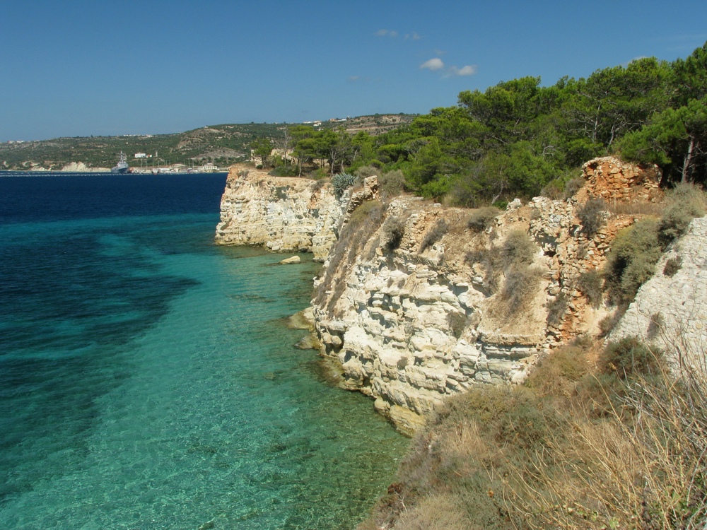
Map of Kampoi
Interactive Map
Area Codes
Percentage Area Codes used by businesses in Kampoi
Postal Codes
Percentage of businesses by Postal Codes in Kampoi
Price Distribution
Business distribution by price for Kampoi
Recent Nearby Earthquakes
Magnitude 3.0 and greater
| Date▼ | Time↕ | Magnitude↕ | Distance↕ | Depth↕ | Location↕ | Link |
|---|---|---|---|---|---|---|
| 6/24/19 | 7:00 PM | 4.1 | 31.3 km | 2,650 m | 19km SW of Atsipopoulon, Greece | usgs.gov |
| 3/7/16 | 2:25 PM | 4.4 | 29.6 km | 10,000 m | 16km E of Palaiochora, Greece | usgs.gov |
| 11/19/08 | 9:21 PM | 3.1 | 20.5 km | 54,000 m | Crete, Greece | usgs.gov |
| 3/24/08 | 10:05 PM | 3.3 | 31.1 km | 18,000 m | Crete, Greece | usgs.gov |
| 10/31/07 | 4:14 PM | 3.3 | 15.1 km | 5,000 m | Crete, Greece | usgs.gov |
| 10/10/07 | 10:47 PM | 3.5 | 27 km | 12,000 m | Crete, Greece | usgs.gov |
| 9/9/07 | 1:57 PM | 3.6 | 30.6 km | 43,000 m | Crete, Greece | usgs.gov |
| 9/4/07 | 11:21 PM | 3.8 | 17.5 km | 11,000 m | Crete, Greece | usgs.gov |
| 9/1/07 | 10:59 AM | 3.2 | 26.2 km | 5,000 m | Crete, Greece | usgs.gov |
| 8/13/07 | 3:44 AM | 3.2 | 8.3 km | 16,000 m | Crete, Greece | usgs.gov |
Source: U.S. Geological Survey (USGS)
Kampoi
Kampoi (Greek: Κάμποι) is a village in the municipal unit of Keramia on the island of Crete, Greece. It is built on a small plateau on the northern slope of Keramos, a peak of the White mountains (Lefka Ori). It is located 26.4 km south of Chania at ..
Kampoi Wikipedia Page

About Our Data
The data on this page is estimated using a number of publicly available tools and resources. It is provided without warranty, and could contain inaccuracies. Use at your own risk.