Categories in Igrane
Catholic ChurchPost OfficeScenic SpotTourist AttractionBakeriesBars, pubs and tavernsCafesCocktail BarGrocery stores and supermarketsRestaurantsBoat Rental ServiceAtm'sCurrency Exchange ServiceCemeteryWellness CenterApartment BuildingHoliday ApartmentHoliday Apartment RentalResidential Property RentalsServiced ApartmentSouvenir StoreMemorial ParkPlaygroundSuper public bathWater RecreationBed and breakfastsBoarding HouseBoat Tour AgencyHoliday HomeHotelsHotels and motelsLodgingResortSelf-Catering AccommodationServiced AccommodationTaxisTourist Information CenterTransportation ServiceTravel AgencyVilla
Industries
Business Distribution by Industry in Igrane
| Industry Description | Number of Establishments |
|---|---|
| Other accommodation | 221 |
| Real estate | 82 |
| Restaurants | 53 |
| Holiday homes, cabins and resorts | 45 |
| Hotels and motels | 31 |
| Rental equipment | 22 |
| Travel agencies | 16 |
| Sports and recreation | 13 |
| Shopping | 11 |
Map of Igrane
Interactive Map
Area Codes
Percentage Area Codes used by businesses in Igrane
Price Distribution
Business distribution by price for Igrane
Recent Nearby Earthquakes
Magnitude 3.0 and greater
| Date▼ | Time↕ | Magnitude↕ | Distance↕ | Depth↕ | Location↕ | Link |
|---|---|---|---|---|---|---|
| 9/7/18 | 8:35 PM | 4.1 | 32.8 km | 10,000 m | 4km NNW of Imotski, Croatia | usgs.gov |
| 2/3/18 | 12:53 PM | 4.6 | 29.6 km | 10,000 m | 5km W of Donja Brela, Croatia | usgs.gov |
| 2/14/16 | 2:51 PM | 4.4 | 28 km | 10,000 m | 8km WNW of Komin, Croatia | usgs.gov |
| 12/29/13 | 6:54 AM | 4.2 | 14.1 km | 10,000 m | 13km NNE of Orebic, Croatia | usgs.gov |
| 6/21/09 | 11:20 AM | 4.6 | 27.5 km | 10,000 m | Croatia | usgs.gov |
| 9/9/08 | 8:50 AM | 3.1 | 34.3 km | 7,900 m | Adriatic Sea | usgs.gov |
| 2/27/08 | 8:44 AM | 3.3 | 40.8 km | 10,000 m | Bosnia and Herzegovina | usgs.gov |
| 8/25/07 | 3:55 AM | 3.9 | 32.9 km | 0 m | Bosnia and Herzegovina | usgs.gov |
| 5/13/07 | 2:06 AM | 3 | 20.5 km | 10,000 m | Croatia-Bosnia and Herzegovina border region | usgs.gov |
| 1/28/06 | 7:26 PM | 4 | 35.1 km | 10,000 m | Bosnia and Herzegovina | usgs.gov |
Source: U.S. Geological Survey (USGS)
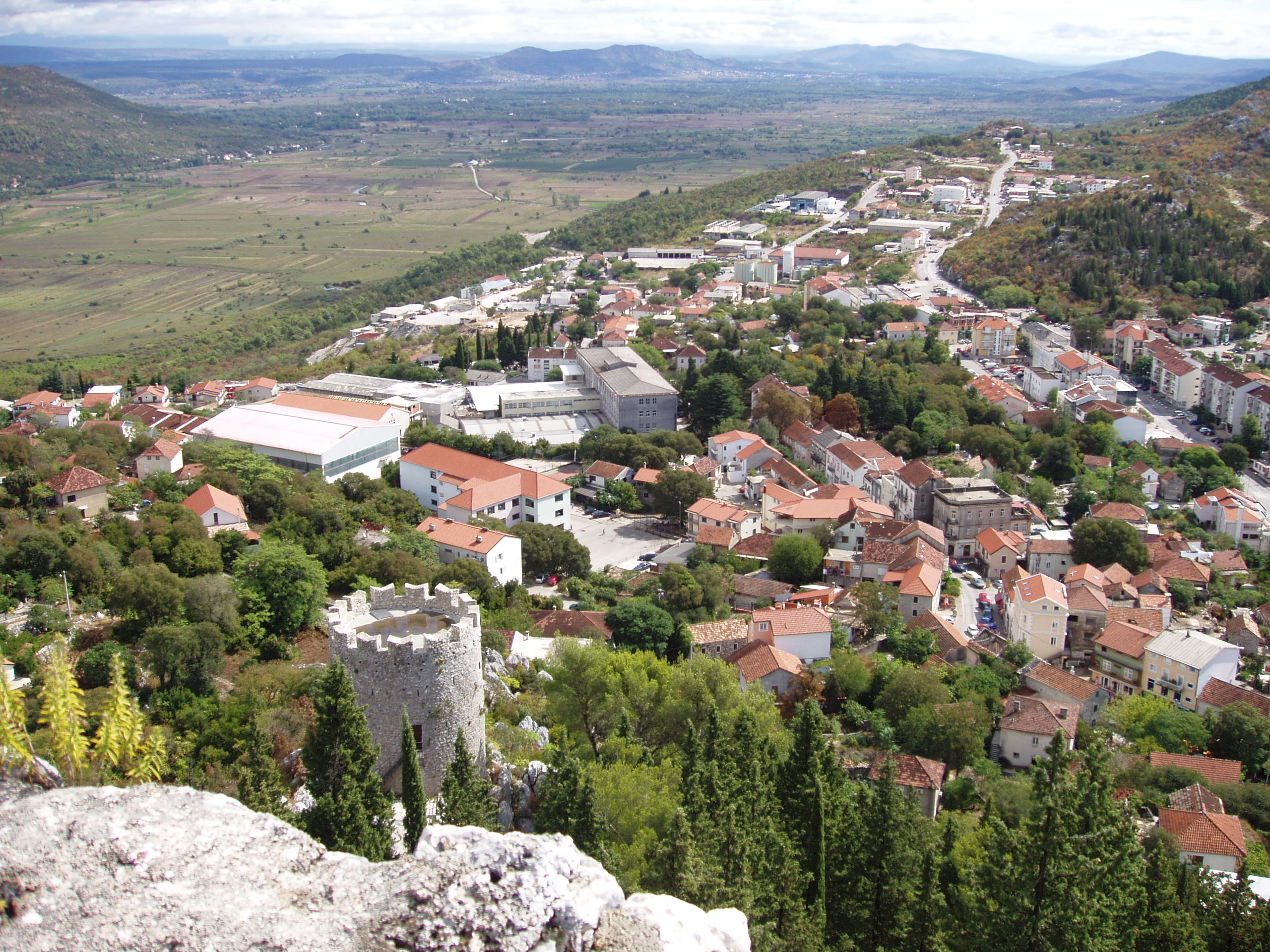
Igrane
Igrane is a village in Croatia, around 19 km south from Makarska. It has about 420 inhabitants. the highest point of the village is the "Kula Zale" tower - named after Ivan Anticic, and built during the 17th century as a protection against Turks. Th..
Igrane Wikipedia Page


About Our Data
The data on this page is estimated using a number of publicly available tools and resources. It is provided without warranty, and could contain inaccuracies. Use at your own risk.