Labadee Facts
| Local Time | |
| Timezone | Eastern Daylight Time |
| Lat & Lng | 19.77222, -72.24389 |
Map of Labadee
Interactive Map
Recent Nearby Earthquakes
Magnitude 3.0 and greater
| Date▼ | Time↕ | Magnitude↕ | Distance↕ | Depth↕ | Location↕ | Link |
|---|---|---|---|---|---|---|
| 10/17/18 | 2:05 AM | 4.4 | 84.1 km | 12,640 m | 21km NW of Ti Port-de-Paix, Haiti | usgs.gov |
| 10/8/18 | 5:04 AM | 4.4 | 86.4 km | 10,000 m | 32km NNW of Ti Port-de-Paix, Haiti | usgs.gov |
| 10/7/18 | 8:00 PM | 5.4 | 86 km | 23,000 m | 22km WNW of Ti Port-de-Paix, Haiti | usgs.gov |
| 10/7/18 | 12:11 AM | 5.9 | 85.6 km | 24,000 m | 21km WNW of Ti Port-de-Paix, Haiti | usgs.gov |
| 9/27/18 | 4:35 PM | 3.3 | 94.5 km | 10,000 m | 8km WSW of Villa Elisa, Dominican Republic | usgs.gov |
| 9/23/18 | 7:23 AM | 4.4 | 96.7 km | 10,000 m | 6km WNW of Villa Elisa, Dominican Republic | usgs.gov |
| 4/12/18 | 12:45 AM | 4 | 93 km | 10,000 m | 9km NNE of Petite Anse, Haiti | usgs.gov |
| 9/2/17 | 8:14 PM | 4.3 | 91.2 km | 9,360 m | 9km WSW of Thomonde, Haiti | usgs.gov |
| 1/2/16 | 3:25 PM | 4.5 | 76.7 km | 35,850 m | 4km NNW of Castanuelas, Dominican Republic | usgs.gov |
| 12/27/12 | 9:44 PM | 4 | 94.1 km | 5,400 m | Dominican Republic region | usgs.gov |
Source: U.S. Geological Survey (USGS)
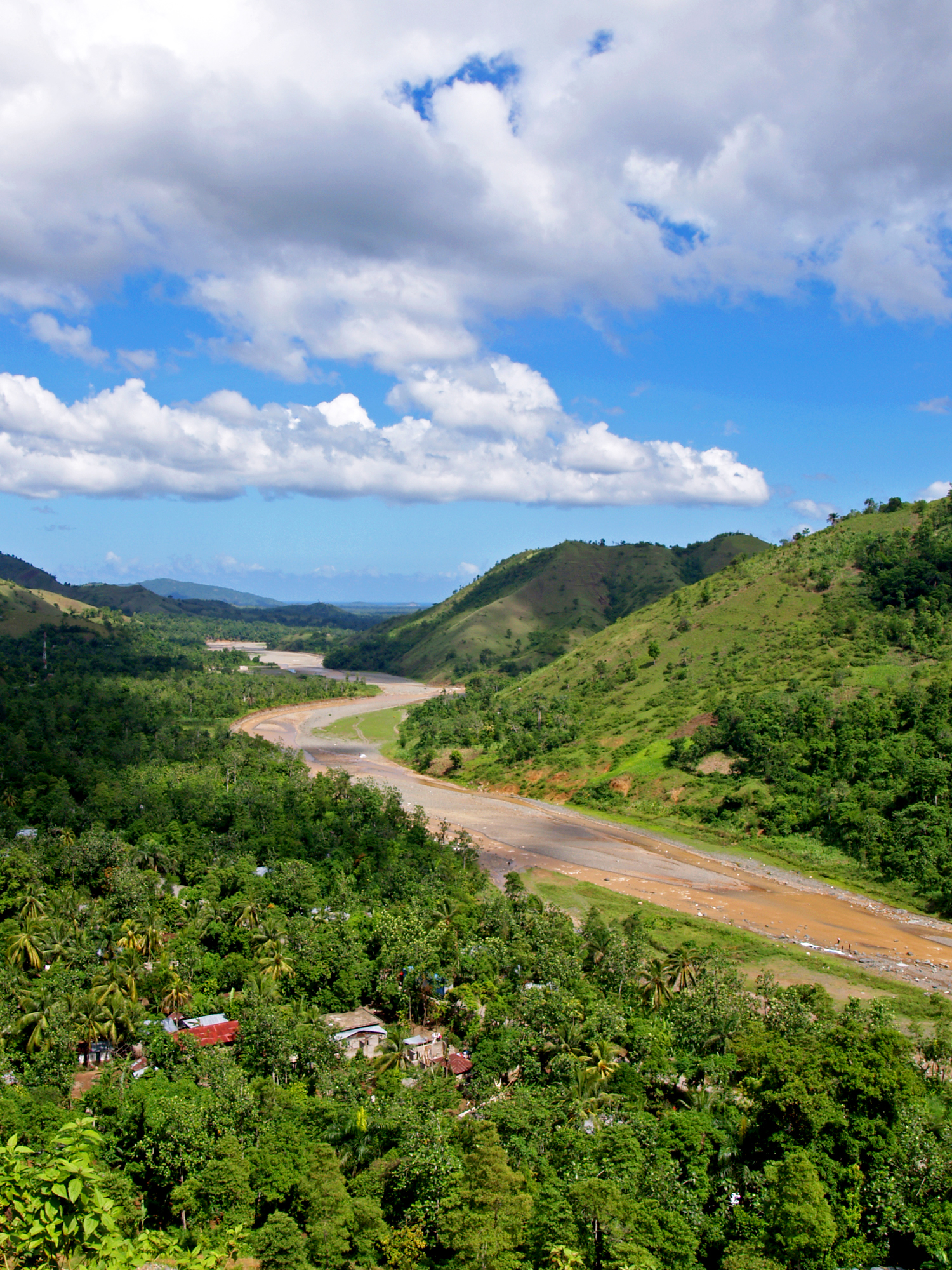
Labadee
Labadee (French: Labadie) is a port located on the northern coast of Haiti. It is a private resort leased to Royal Caribbean Cruises Ltd. until 2050. Royal Caribbean has contributed the largest proportion of tourist revenue to Haiti since 1986, emplo..
Labadee Wikipedia Page


About Our Data
The data on this page is estimated using a number of publicly available tools and resources. It is provided without warranty, and could contain inaccuracies. Use at your own risk.