Cibiru Facts
| Neighborhoods | Cipadung, Cibiru, Pasir Biru, Cibiru, Palasari, Cibiru, Sindang Jaya, Cibiru, Cibiru Wetan, Cileunyi |
| Local Time | |
| Timezone | Western Indonesia Time |
| Lat & Lng | -6.94278, 107.76639 |
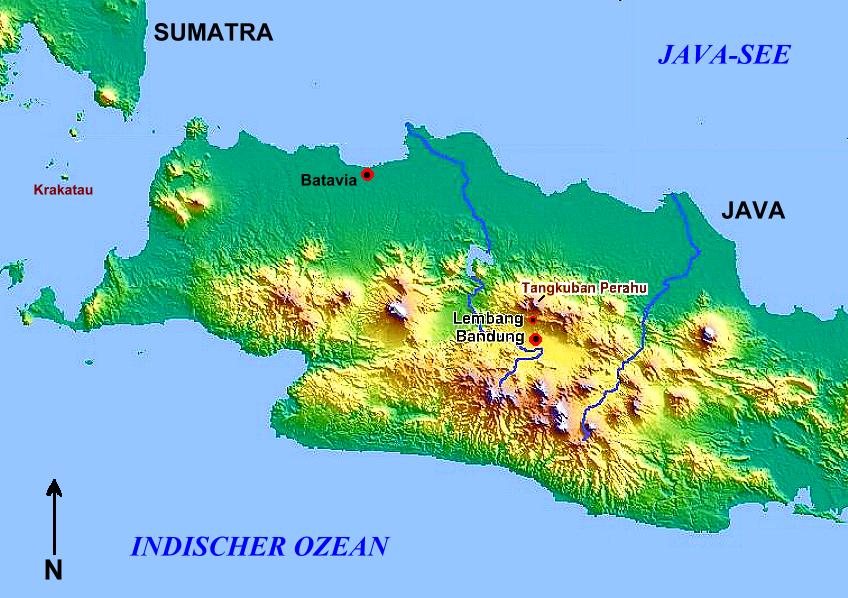
Map of Cibiru
Interactive Map
Postal Codes
Percentage of businesses by Postal Codes in Cibiru
Recent Nearby Earthquakes
Magnitude 3.0 and greater
| Date▼ | Time↕ | Magnitude↕ | Distance↕ | Depth↕ | Location↕ | Link |
|---|---|---|---|---|---|---|
| 6/2/19 | 4:52 AM | 4.4 | 45 km | 72,660 m | 7km S of Santosa, Indonesia | usgs.gov |
| 3/19/19 | 5:04 AM | 4.5 | 80.4 km | 155,050 m | 9km NNW of Cibeber, Indonesia | usgs.gov |
| 2/11/18 | 6:48 AM | 4 | 69.8 km | 242,260 m | 10km SSW of Palimanan, Indonesia | usgs.gov |
| 12/15/17 | 4:47 PM | 6.5 | 75.6 km | 90,000 m | 1km E of Kampungbaru, Indonesia | usgs.gov |
| 12/12/17 | 2:23 AM | 5 | 77.3 km | 100,750 m | 1km SSW of Ciodeng, Indonesia | usgs.gov |
| 7/24/17 | 12:19 AM | 4.4 | 41 km | 141,580 m | 3km W of Gudang, Indonesia | usgs.gov |
| 7/18/17 | 5:58 AM | 4.2 | 23.3 km | 18,560 m | 8km SE of Banjaran, Indonesia | usgs.gov |
| 2/15/17 | 6:53 PM | 5 | 75.9 km | 77,330 m | 4km SE of Kaum, Indonesia | usgs.gov |
| 11/5/16 | 11:44 PM | 4.2 | 33.6 km | 10,000 m | 9km NW of Santosa, Indonesia | usgs.gov |
| 7/31/16 | 10:46 AM | 4.2 | 28.9 km | 180,240 m | 11km NNE of Sumedang Utara, Indonesia | usgs.gov |
Source: U.S. Geological Survey (USGS)
Cibiru
Cibiru is one of the 30 districts of Bandung city in West Java, and the location of an Islamic school (UIN Sunan Gunung Djati) and Pharmacy School (Sekolah Tinggi Farmasi Bandung) near West Java district based
Cibiru Wikipedia Page


About Our Data
The data on this page is estimated using a number of publicly available tools and resources. It is provided without warranty, and could contain inaccuracies. Use at your own risk.