Categories in Sinabang
Industries
Business Distribution by Industry in Sinabang
| Industry Description | Number of Establishments |
|---|---|
| Religion | 61 |
| Education | 23 |
| Shopping | 15 |
| Restaurants | 12 |
| Cafes | 12 |
| Public administration | 8 |
| Hospitals | 7 |
| Electronics stores | 5 |
| Clothing stores | 5 |
| Corporate management | 5 |
| Other accommodation | 5 |
Sinabang Facts
| Area | 18.6 km² |
| Median Age | 23.9 years (Male: 23.9, Female: 24) |
| Area Codes | 6 |
| Neighborhoods | Suka Karya, Simeulue Timur, Sinabang, Simeulue Timur, Blang Sebel, Teupah Selatan, Sambai, Teluk Dalam, Bubuhan, Simeulue Cut |
| Local Time | |
| Timezone | Western Indonesia Time |
| Lat & Lng | 2.48030, 96.38010 |
Map of Sinabang
Interactive Map
Sinabang Population
Years 1975 to 2015
| Data | 1975 | 1990 | 2000 | 2015 |
|---|---|---|---|---|
| Population | 0 | 0 | 0 | 0 |
| Population Density | 0 / km² | 0 / km² | 0 / km² | 0 / km² |
Sinabang Population change from 2000 to 2000
| Location | Change since 1975 | Change since 1990 |
|---|---|---|
| Sinabang | — | — |
| Aceh | +12.2% | -2% |
| Indonesia | +61.9% | +16.6% |
Sinabang Median Age
Median Age: 23.9 years
| Location | Median Age | Median Age (Female) | Median Age (Male) |
|---|---|---|---|
| Sinabang | 23.9 yrs | 24 yrs | 23.9 yrs |
| Aceh | 24 yrs | 24.6 yrs | 23.3 yrs |
| Indonesia | 27.2 yrs | 27.5 yrs | 26.9 yrs |
Aceh Population Density
Population Density: 815 / km²
| Location | Population | Area | Density |
|---|---|---|---|
| Aceh | 31,647 | 38.8 km² | 815 / km² |
| Indonesia | 252.8 million | 1,893,657.8 km² | 134 / km² |
Sinabang Historical and Projected Population
Estimated Population from 1975 to 2015
- JRC (European Commission's Joint Research Centre) work on the GHS built-up grid
- CIESIN (Center for International Earth Science Information Network)
- [Link] Klein Goldewijk, K., Beusen, A., Doelman, J., and Stehfest, E.: Anthropogenic land use estimates for the Holocene – HYDE 3.2, Earth Syst. Sci. Data, 9, 927–953, https://doi.org/10.5194/essd-9-927-2017, 2017.
Neighborhoods in Sinabang
Percentage of businesses by neighborhood in Sinabang
Price Distribution
Business distribution by price for Sinabang
Human Development Index (HDI)
Statistic composite index of life expectancy, education, and per capita income.
Aceh CO2 Emissions
Carbon Dioxide (CO2) Emissions Per Capita in Tonnes Per Year
| Location | CO2 Emissions | CO2 Emissions Per Capita | CO2 Emissions Intensity |
|---|---|---|---|
| Aceh | 57,017 tn | 1.8 tn | 1,468.2 tons/km² |
| Indonesia | 478,610,416 tn | 1.89 tn | 252.7 tons/km² |
| 2013 CO2 emissions (tonnes/year) | 57,017 tn |
| 2013 CO2 emissions (tonnes/year) per capita | 1.8 tn |
| 2013 CO2 emissions intensity (tonnes/km²/year) | 1,468.2 tons/km² |
Natural Hazards Risk
Relative risk out of 10
| Hazard | Risk Level |
|---|---|
| Earthquake | Medium (7) |
* Risk, particularly concerning flood or landslide, may not be for the entire area.
- Dilley, M., R.S. Chen, U. Deichmann, A.L. Lerner-Lam, M. Arnold, J. Agwe, P. Buys, O. Kjekstad, B. Lyon, and G. Yetman. 2005. Natural Disaster Hotspots: A Global Risk Analysis. Washington, D.C.: World Bank. https://doi.org/10.1596/0-8213-5930-4.
- Center for Hazards and Risk Research - CHRR - Columbia University, Center for International Earth Science Information Network - CIESIN - Columbia University. 2005. Global Earthquake Hazard Distribution - Peak Ground Acceleration. Palisades, NY: NASA Socioeconomic Data and Applications Center (SEDAC). https://doi.org/10.7927/H4BZ63ZS.
Recent Nearby Earthquakes
Magnitude 3.0 and greater
| Date▼ | Time↕ | Magnitude↕ | Distance↕ | Depth↕ | Location↕ | Link |
|---|---|---|---|---|---|---|
| 12/7/18 | 4:13 AM | 4.6 | 23.1 km | 36,520 m | 23km SW of Sinabang, Indonesia | usgs.gov |
| 8/22/18 | 6:53 AM | 4.6 | 20.1 km | 33,010 m | 20km SW of Sinabang, Indonesia | usgs.gov |
| 8/12/18 | 9:37 AM | 4.7 | 18 km | 35,000 m | 17km NW of Sinabang, Indonesia | usgs.gov |
| 8/12/18 | 9:04 AM | 4.7 | 20.4 km | 35,000 m | 20km SW of Sinabang, Indonesia | usgs.gov |
| 12/10/16 | 11:44 AM | 4.1 | 12.4 km | 31,160 m | 12km WSW of Sinabang, Indonesia | usgs.gov |
| 12/29/15 | 7:32 AM | 4.4 | 10.5 km | 33,310 m | 10km SSW of Sinabang, Indonesia | usgs.gov |
| 9/9/15 | 12:41 PM | 5.1 | 21.2 km | 24,520 m | 21km SSW of Sinabang, Indonesia | usgs.gov |
| 7/22/15 | 10:04 AM | 4.2 | 15.7 km | 31,470 m | 15km SSW of Sinabang, Indonesia | usgs.gov |
| 10/13/14 | 9:23 AM | 4.7 | 24.3 km | 41,380 m | 24km SW of Sinabang, Indonesia | usgs.gov |
| 9/30/13 | 8:46 PM | 4.5 | 22.8 km | 44,990 m | 22km S of Sinabang, Indonesia | usgs.gov |
Sinabang
Sinabang (Indonesian Sinabung) is a town on the east coast of Simeulue Island, which lies off the western coast of Sumatra in Indonesia. Sinabang is the administrative seat (capital) of the Simeulue Regency, in Aceh Province of Indonesia and has a po..
Sinabang Wikipedia Page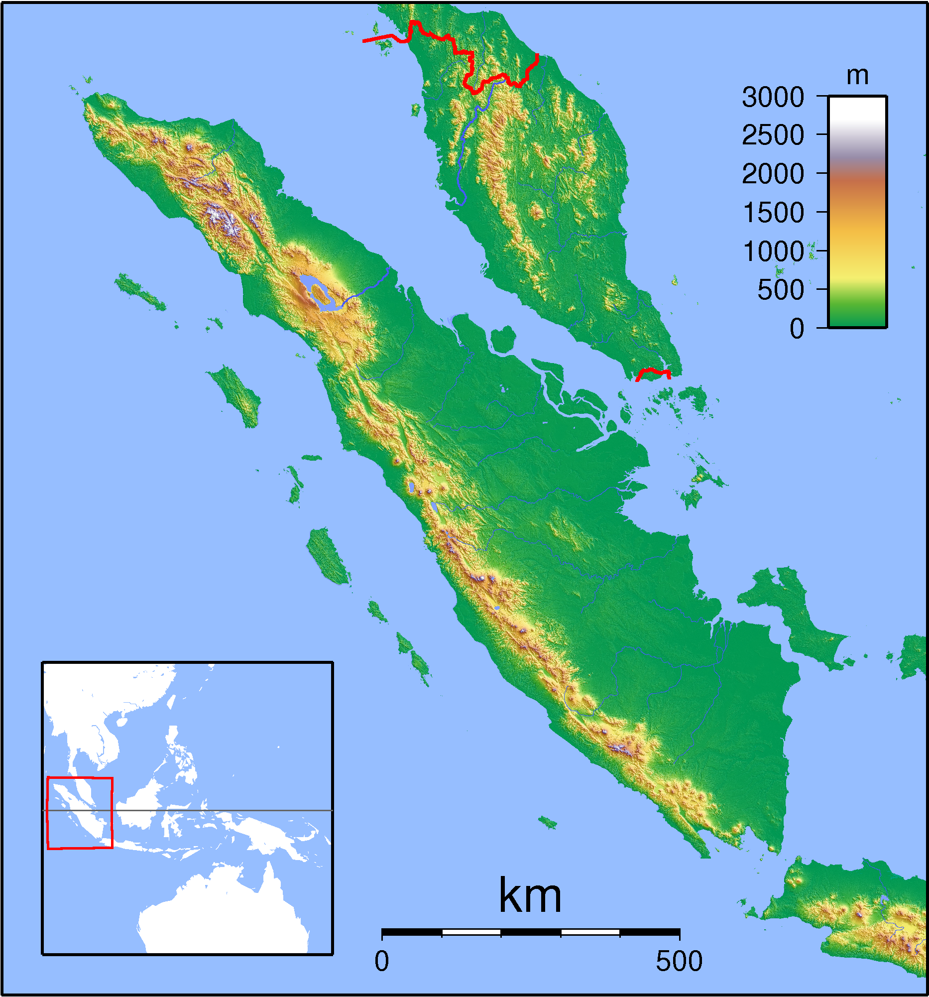
About Our Data
The data on this page is estimated using a number of publicly available tools and resources. It is provided without warranty, and could contain inaccuracies. Use at your own risk.