Singgalang Facts
| Local Time | |
| Timezone | Western Indonesia Time |
| Lat & Lng | -0.42390, 100.37745 |
Map of Singgalang
Interactive Map
Price Distribution
Business distribution by price for Singgalang
Recent Nearby Earthquakes
Magnitude 3.0 and greater
| Date▼ | Time↕ | Magnitude↕ | Distance↕ | Depth↕ | Location↕ | Link |
|---|---|---|---|---|---|---|
| 7/24/19 | 3:01 PM | 4 | 42.3 km | 100,640 m | 11km SSW of Lubukalung, Indonesia | usgs.gov |
| 6/4/19 | 7:18 AM | 4.6 | 45.7 km | 96,990 m | 10km WNW of Tabing, Indonesia | usgs.gov |
| 3/19/19 | 6:17 PM | 4.3 | 6.5 km | 61,430 m | 4km ESE of Kotatua, Indonesia | usgs.gov |
| 12/23/18 | 2:03 PM | 5 | 72.1 km | 98,030 m | 23km WSW of Tiku, Indonesia | usgs.gov |
| 8/19/18 | 4:22 AM | 5.2 | 72.8 km | 81,100 m | 37km SSW of Tiku, Indonesia | usgs.gov |
| 7/10/16 | 9:31 AM | 5.1 | 59.6 km | 8,070 m | 16km WNW of Bonjol, Indonesia | usgs.gov |
| 4/22/16 | 9:56 AM | 4.2 | 49.8 km | 170,300 m | 17km ENE of Bonjol, Indonesia | usgs.gov |
| 10/20/15 | 11:57 PM | 4.3 | 41.2 km | 95,890 m | 4km WSW of Talawi, Indonesia | usgs.gov |
| 7/25/15 | 1:17 PM | 3.7 | 27.2 km | 10,000 m | 6km SW of Saruaso, Indonesia | usgs.gov |
| 1/12/15 | 1:45 AM | 4.3 | 56.8 km | 104,070 m | 25km SSW of Pauhambar, Indonesia | usgs.gov |
Source: U.S. Geological Survey (USGS)
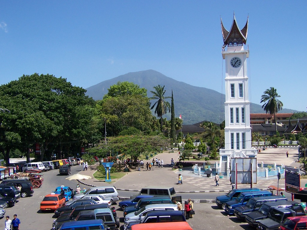
Mount Singgalang
Singgalang is a volcano in West Sumatra, Indonesia. Its elevation is 2,877 m (9,439 ft). It is a twin volcano with Mount Tandikat, which is located to the south-south-west of Singgalang. However, only Tandikat has had historical volcanic activity. Th..
Mount Singgalang Wikipedia Page


About Our Data
The data on this page is estimated using a number of publicly available tools and resources. It is provided without warranty, and could contain inaccuracies. Use at your own risk.