Categories in Vila Gading
Industries
Business Distribution by Industry in Vila Gading
| Industry Description | Number of Establishments |
|---|---|
| Restaurants | 26 |
Map of Vila Gading
Interactive Map
Recent Nearby Earthquakes
Magnitude 3.0 and greater
| Date▼ | Time↕ | Magnitude↕ | Distance↕ | Depth↕ | Location↕ | Link |
|---|---|---|---|---|---|---|
| 10/24/18 | 9:45 PM | 4 | 47 km | 291,550 m | 35km NNW of Rengasdengklok, Indonesia | usgs.gov |
| 9/24/18 | 5:53 PM | 4.2 | 17.5 km | 254,370 m | 15km NNE of Bekasi, Indonesia | usgs.gov |
| 4/2/18 | 1:02 PM | 4.3 | 40.3 km | 250,040 m | 5km NW of Rengasdengklok, Indonesia | usgs.gov |
| 3/27/18 | 8:57 PM | 4.5 | 31.7 km | 139,150 m | 0km NE of Serpong, Indonesia | usgs.gov |
| 9/25/17 | 6:10 PM | 5.1 | 62.1 km | 150,050 m | 10km ENE of Langgen, Indonesia | usgs.gov |
| 8/13/17 | 12:04 PM | 4.2 | 44.1 km | 170,960 m | 7km S of Curug, Indonesia | usgs.gov |
| 5/10/17 | 5:46 PM | 4.6 | 61.6 km | 121,110 m | 5km E of Sidoger Lebak, Indonesia | usgs.gov |
| 4/5/17 | 8:20 AM | 4 | 51.9 km | 169,660 m | 58km NE of Teluknaga, Indonesia | usgs.gov |
| 3/26/17 | 3:06 PM | 4 | 6.4 km | 195,000 m | 14km NNE of Jakarta, Indonesia | usgs.gov |
| 12/13/16 | 11:28 AM | 4.5 | 78.2 km | 123,640 m | 9km SSE of Cicurug, Indonesia | usgs.gov |
Source: U.S. Geological Survey (USGS)
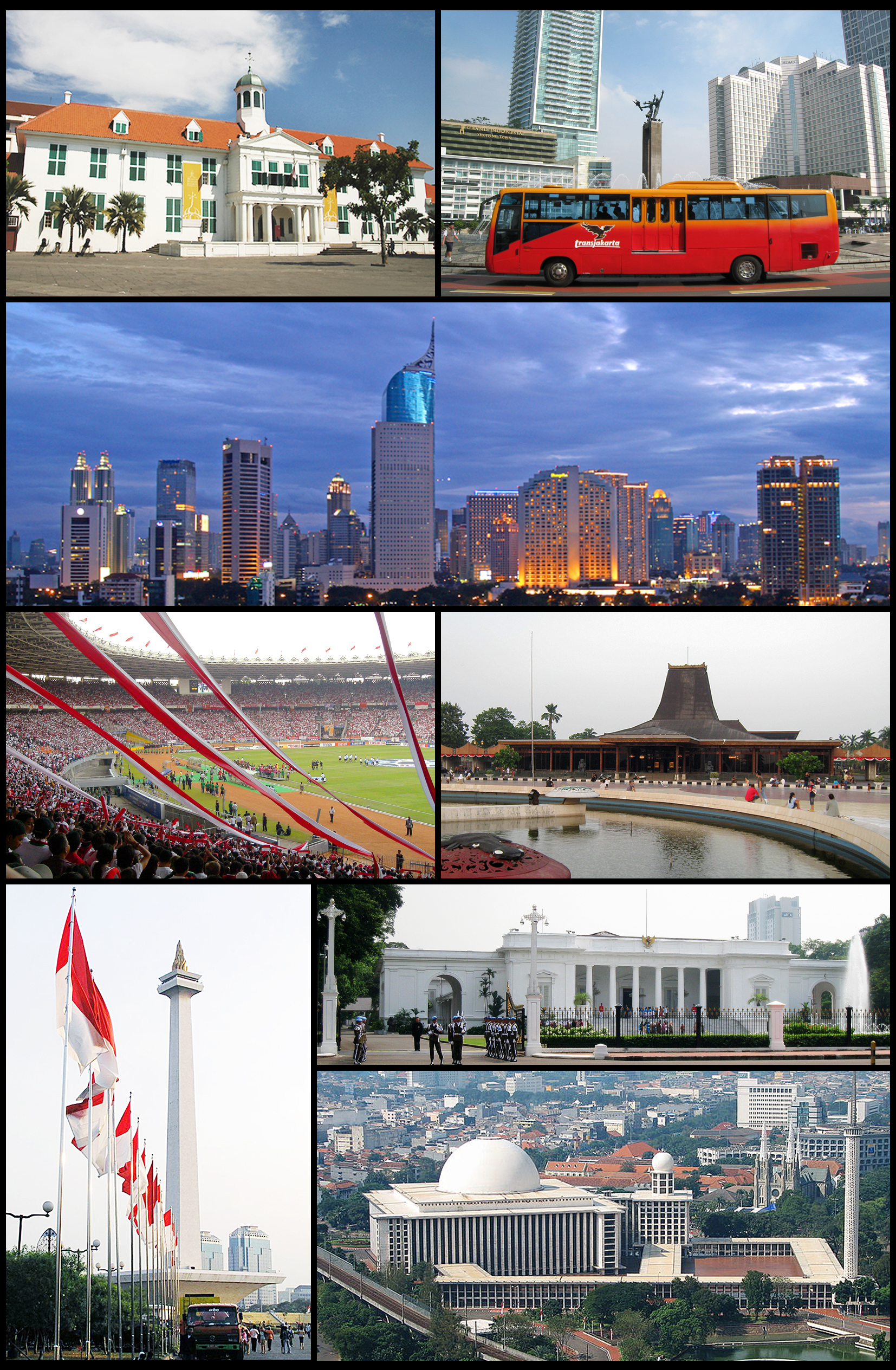
Kelapa Gading
Kelapa Gading is the southernmost Subdistrict of North Jakarta, Jakarta, Indonesia. The Subdistrict of Kelapa Gading is bounded by Bekasi Raya - Perintis Kemerdekaan Road to the south, Sunter Canal to the west, Bendungan Batik Canal to the north, and..
Kelapa Gading Wikipedia Page


About Our Data
The data on this page is estimated using a number of publicly available tools and resources. It is provided without warranty, and could contain inaccuracies. Use at your own risk.