Categories in Ein Rafa
Industries
Business Distribution by Industry in Ein Rafa
| Industry Description | Number of Establishments |
|---|---|
| Restaurants | 5 |
Ein Rafa Facts
| Area Codes | 2 |
| Local Time | |
| Timezone | Israel Daylight Time |
| Lat & Lng | 31.79020, 35.11528 |
Map of Ein Rafa
Interactive Map
Recent Nearby Earthquakes
Magnitude 3.0 and greater
| Date▼ | Time↕ | Magnitude↕ | Distance↕ | Depth↕ | Location↕ | Link |
|---|---|---|---|---|---|---|
| 7/30/15 | 2:39 AM | 4.2 | 55.5 km | 13,000 m | 24km NNE of `En Boqeq, Israel | usgs.gov |
| 12/2/07 | 7:38 AM | 4 | 42.8 km | 10,000 m | Dead Sea region | usgs.gov |
| 11/23/07 | 10:19 PM | 4.4 | 18.3 km | 11,000 m | Dead Sea region | usgs.gov |
| 11/20/07 | 11:21 PM | 3.2 | 46.6 km | 5,000 m | Dead Sea region | usgs.gov |
| 11/20/07 | 9:18 AM | 4.6 | 43.5 km | 10,000 m | Dead Sea region | usgs.gov |
| 2/9/07 | 10:14 PM | 4.5 | 82.2 km | 15,000 m | Dead Sea region | usgs.gov |
| 2/9/07 | 10:12 PM | 4 | 91.5 km | 2,000 m | Dead Sea region | usgs.gov |
| 11/18/06 | 2:57 AM | 3.1 | 48.7 km | 10,000 m | Dead Sea region | usgs.gov |
| 9/17/06 | 8:22 AM | 4 | 42.1 km | 1,000 m | Dead Sea region | usgs.gov |
| 9/9/06 | 4:58 AM | 4.5 | 43.7 km | 1,000 m | Dead Sea region | usgs.gov |
Source: U.S. Geological Survey (USGS)
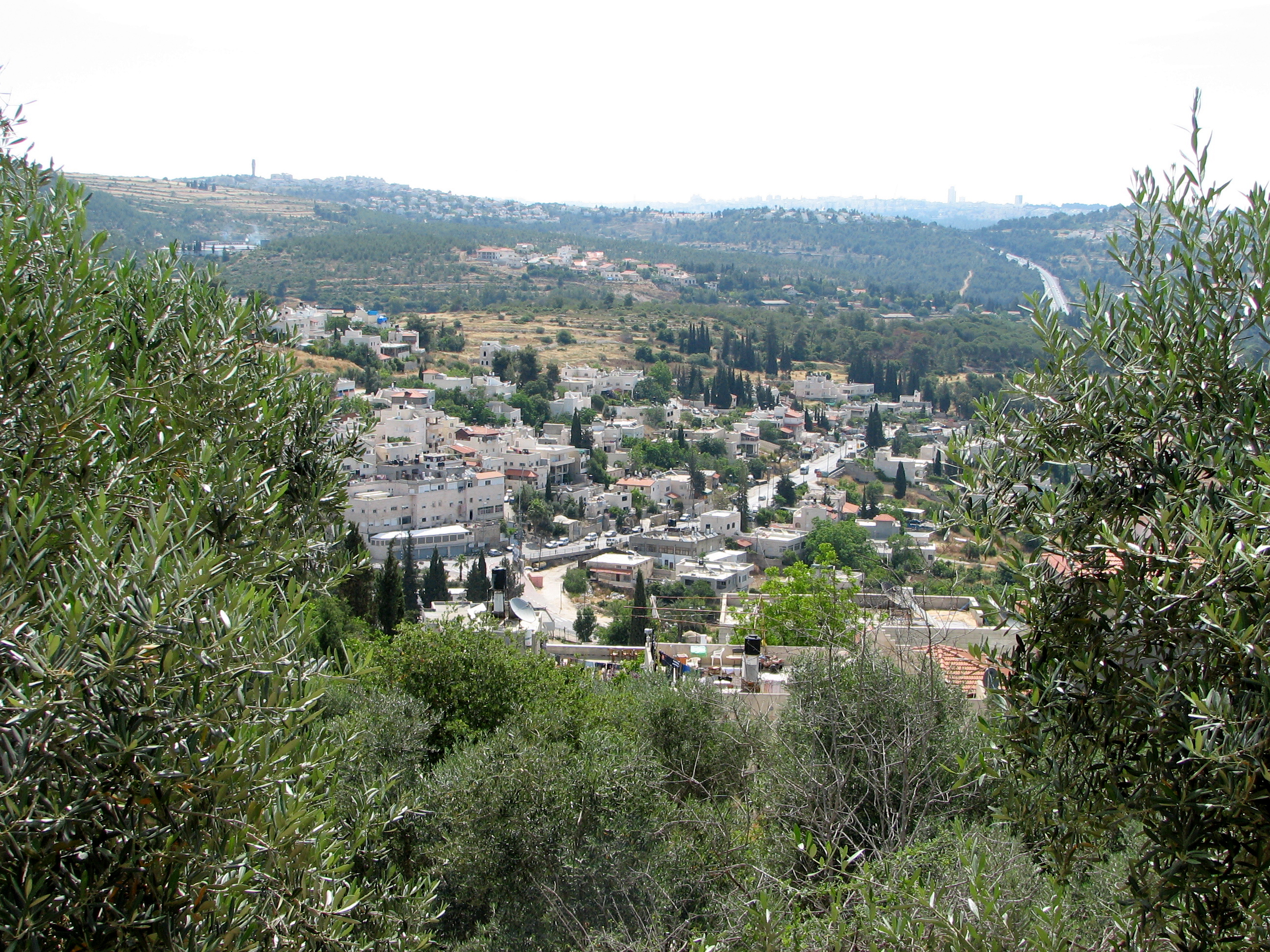
Ein Rafa
Ein Rafa (Arabic: عين رافا or عين رافه; Hebrew: עין ראפה) is an Israeli Arab village ten kilometers west of Jerusalem, Israel. Located across Route 1 from Abu Ghosh, it falls under the jurisdiction of Mateh Yehuda Regional Council. In 2006 it had a..
Ein Rafa Wikipedia Page


About Our Data
The data on this page is estimated using a number of publicly available tools and resources. It is provided without warranty, and could contain inaccuracies. Use at your own risk.