Oranit Facts
| Local Time | |
| Timezone | Israel Daylight Time |
| Lat & Lng | 32.13165, 34.99094 |
| Postal Codes | 44813 |
Map of Oranit
Interactive Map
Recent Nearby Earthquakes
Magnitude 3.0 and greater
| Date▼ | Time↕ | Magnitude↕ | Distance↕ | Depth↕ | Location↕ | Link |
|---|---|---|---|---|---|---|
| 7/4/18 | 7:45 PM | 4.7 | 85.2 km | 10,000 m | 5km SE of 'Eilabun, Israel | usgs.gov |
| 7/4/18 | 1:50 AM | 4 | 83.8 km | 10,000 m | 6km SSE of 'Eilabun, Israel | usgs.gov |
| 7/30/15 | 2:39 AM | 4.2 | 93.6 km | 13,000 m | 24km NNE of `En Boqeq, Israel | usgs.gov |
| 10/20/13 | 12:54 PM | 3.5 | 97.2 km | 5,000 m | 8km NNE of Tiberias, Israel | usgs.gov |
| 8/7/11 | 8:52 AM | 4.1 | 68.7 km | 31,000 m | Dead Sea region | usgs.gov |
| 12/2/07 | 7:38 AM | 4 | 73.3 km | 10,000 m | Dead Sea region | usgs.gov |
| 11/23/07 | 10:19 PM | 4.4 | 30.5 km | 11,000 m | Dead Sea region | usgs.gov |
| 11/20/07 | 11:21 PM | 3.2 | 75.6 km | 5,000 m | Dead Sea region | usgs.gov |
| 11/20/07 | 9:18 AM | 4.6 | 73.1 km | 10,000 m | Dead Sea region | usgs.gov |
| 11/18/06 | 2:57 AM | 3.1 | 43.1 km | 10,000 m | Dead Sea region | usgs.gov |
Source: U.S. Geological Survey (USGS)
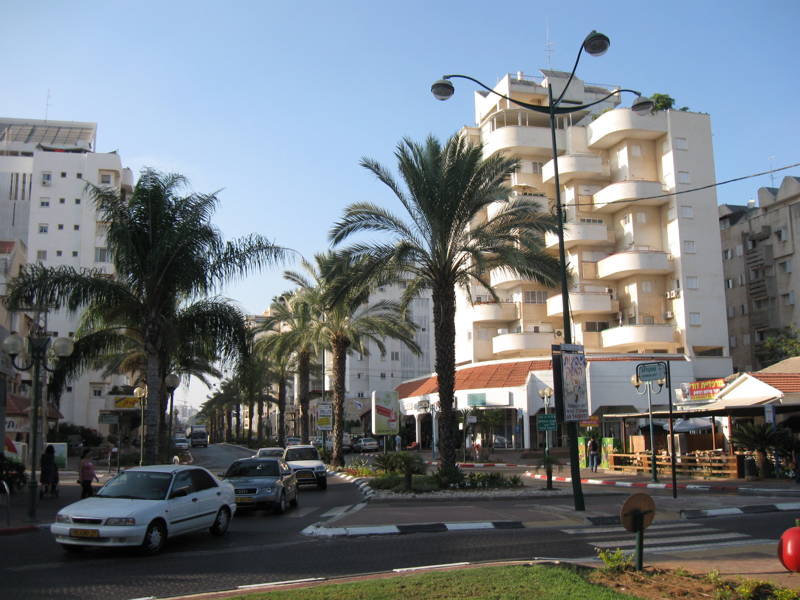
Oranit
Oranit (Hebrew: אֳרָנִית) is an Israeli settlement and local council located in the Seam Zone, straddling the Green Line. It is surrounded by Horshim forest to the west, Rosh HaAyin and Kfar Qasim to the southwest, Sha'arei Tikva to the east, and Khi..
Oranit Wikipedia Page


About Our Data
The data on this page is estimated using a number of publicly available tools and resources. It is provided without warranty, and could contain inaccuracies. Use at your own risk.