Categories in Anjuna
Industries
Business Distribution by Industry in Anjuna
| Industry Description | Number of Establishments | Average Age of Business |
|---|---|---|
| Restaurants | 462 | — |
| Other accommodation | 390 | 25 years |
| Hotels and motels | 310 | — |
| Holiday homes, cabins and resorts | 94 | — |
| Cafes | 82 | — |
| Shopping | 70 | — |
| Bars, pubs and taverns | 60 | — |
| Clothing stores | 47 | — |
| Real estate | 42 | — |
Anjuna Facts
| Area | 3.1 km² |
| Population | 2,118 |
| Male Population | 1,069 (50.5%) |
| Female Population | 1,049 (49.5%) |
| Population change (1975 to 2020) | +149.2% |
| Population change (2000 to 2020) | +41.1% |
| Median Age | 31.9 years (Male: 31.1, Female: 32.7) |
| Neighborhoods | Monteiro Vaddo, Dmello Vaddo, Mazal Waddo, Gumal Vaddo, Anjuna |
| Local Time | |
| Timezone | India Standard Time |
| Lat & Lng | 15.58005, 73.74487 |
| Pin Codes | 403509 |
Map of Anjuna
Interactive Map
Anjuna Population
Years 1975 to 2020
| Data | 1975 | 1990 | 2000 | 2015 | 2020 |
|---|---|---|---|---|---|
| Population | 850 | 1,425 | 1,501 | 2,043 | 2,118 |
| Population Density | 277.6 / km² | 465.3 / km² | 490.1 / km² | 667.1 / km² | 691.6 / km² |
Anjuna Population change from 2000 to 2015
Increase of 36.1% from year 2000 to 2015
| Location | Change since 1975 | Change since 1990 | Change since 2000 |
|---|---|---|---|
| Anjuna | +140.4% | +43.4% | +36.1% |
| Goa | +54.1% | +22.8% | +9.2% |
| India | +111.1% | +50.6% | +24.5% |
Anjuna Median Age
Median Age: 31.9 years
| Location | Median Age | Median Age (Female) | Median Age (Male) |
|---|---|---|---|
| Anjuna | 31.9 yrs | 32.7 yrs | 31.1 yrs |
| Goa | 31.3 yrs | 32.1 yrs | 30.5 yrs |
| India | 24.9 yrs | 25.4 yrs | 24.5 yrs |
Anjuna Population Density
Population Density: 692 / km²
| Location | Population | Area | Density |
|---|---|---|---|
| Anjuna | 2,118 | 3.063 km² | 692 / km² |
| Goa | 1.5 million | 3,629.4 km² | 418 / km² |
| India | 1,307 million | 3,083,563.4 km² | 424 / km² |
Anjuna Historical and Projected Population
Estimated Population from 0 to 2100
- JRC (European Commission's Joint Research Centre) work on the GHS built-up grid
- CIESIN (Center for International Earth Science Information Network)
- [Link] Klein Goldewijk, K., Beusen, A., Doelman, J., and Stehfest, E.: Anthropogenic land use estimates for the Holocene – HYDE 3.2, Earth Syst. Sci. Data, 9, 927–953, https://doi.org/10.5194/essd-9-927-2017, 2017.
Neighborhoods in Anjuna
Percentage of businesses by neighborhood in Anjuna
Price Distribution
Business distribution by price for Anjuna
Human Development Index (HDI)
Statistic composite index of life expectancy, education, and per capita income.
Anjuna CO2 Emissions
Carbon Dioxide (CO2) Emissions Per Capita in Tonnes Per Year
| Location | CO2 Emissions | CO2 Emissions Per Capita | CO2 Emissions Intensity |
|---|---|---|---|
| Anjuna | 2,878 tn | 1.36 tn | 939.8 tons/km² |
| Goa | 3,510,190 tn | 2.31 tn | 967.2 tons/km² |
| India | 1,928,568,344 tn | 1.48 tn | 625.4 tons/km² |
| 2013 CO2 emissions (tonnes/year) | 2,878 tn |
| 2013 CO2 emissions (tonnes/year) per capita | 1.36 tn |
| 2013 CO2 emissions intensity (tonnes/km²/year) | 939.8 tons/km² |
Natural Hazards Risk
Relative risk out of 10
| Hazard | Risk Level |
|---|---|
| Drought | High (9) |
* Risk, particularly concerning flood or landslide, may not be for the entire area.
- Dilley, M., R.S. Chen, U. Deichmann, A.L. Lerner-Lam, M. Arnold, J. Agwe, P. Buys, O. Kjekstad, B. Lyon, and G. Yetman. 2005. Natural Disaster Hotspots: A Global Risk Analysis. Washington, D.C.: World Bank. https://doi.org/10.1596/0-8213-5930-4.
- Center for Hazards and Risk Research - CHRR - Columbia University, Center for International Earth Science Information Network - CIESIN - Columbia University, and International Research Institute for Climate and Society - IRI - Columbia University. 2005. Global Drought Hazard Frequency and Distribution. Palisades, NY: NASA Socioeconomic Data and Applications Center (SEDAC). https://doi.org/10.7927/H4VX0DFT.
Recent Nearby Earthquakes
Magnitude 3.0 and greater
| Date▼ | Time↕ | Magnitude↕ | Distance↕ | Depth↕ | Location↕ | Link |
|---|---|---|---|---|---|---|
| 8/19/17 | 4:52 PM | 4.1 | 95 km | 10,000 m | 34km NNW of Malvan, India | usgs.gov |
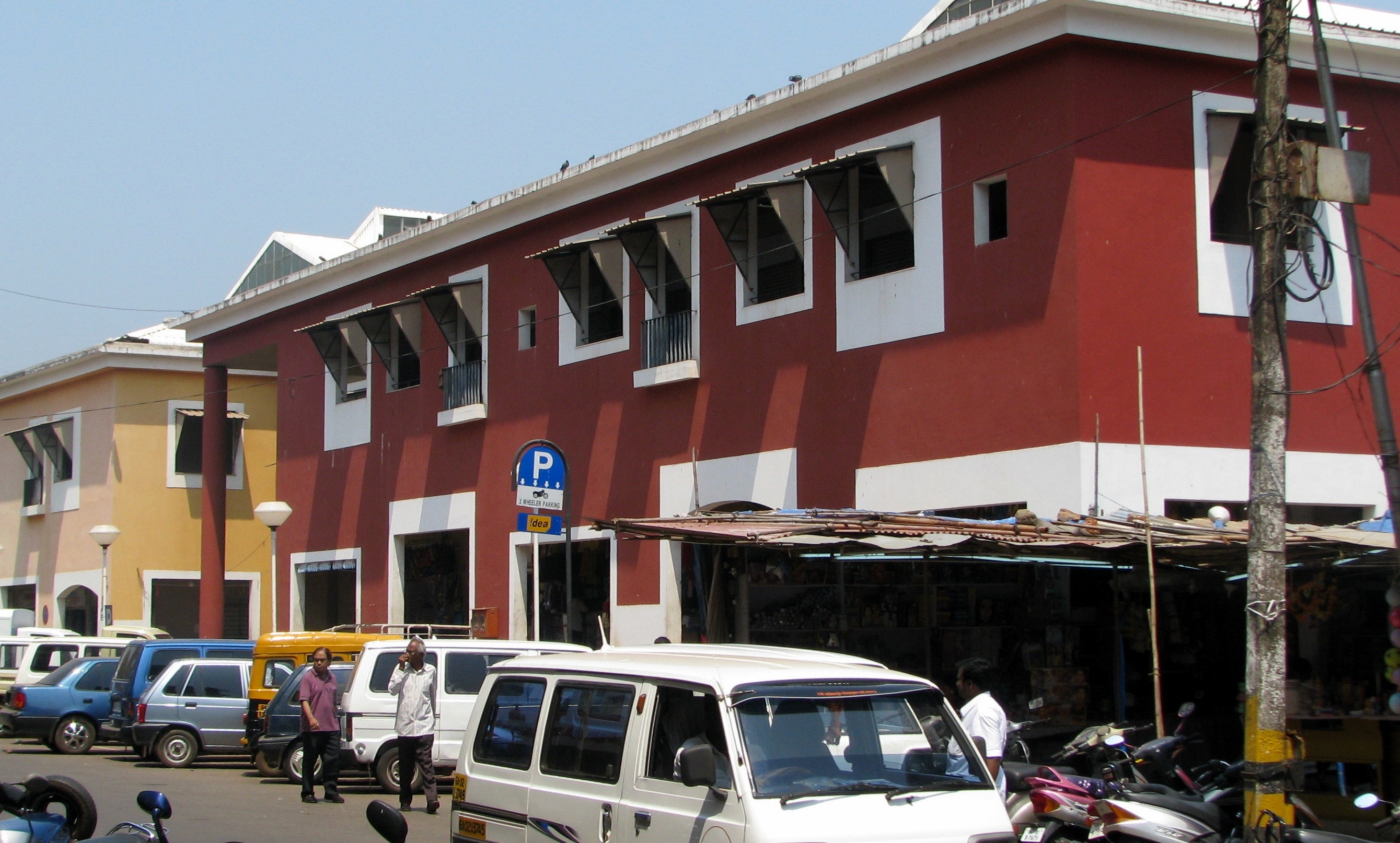
Anjuna
Anjuna ([ɦɔɳzuɳẽ]) is a village in Goa, one of the twelve Brahmin comunidades of Bardez. church, St. Michael's Church, Anjuna, founded in 1595, is dedicated to S. Miguel, and celebrates the feasts of S. Miguel (September 29) and Nossa Senhora Advoga..
Anjuna Wikipedia Page


About Our Data
The data on this page is estimated using a number of publicly available tools and resources. It is provided without warranty, and could contain inaccuracies. Use at your own risk.