Categories in Baghamari
Motorcycle repairClothing storesShoe storesMobile phone storesBaptist ChurchChurchesGovernment OfficeHindu templeReligionElectronics StoreHome Goods StoreHousing DevelopmentCollegeEducationEducation CenterHigh SchoolSecondary schoolTourist AttractionGrocery stores and supermarketsApartment BuildingApartment ComplexHousing ComplexGeneral StoreMarketPharmacyShoppingShopping MallTea StorePlaygroundPublic parksHotels and motelsHousing Society
Industries
Business Distribution by Industry in Baghamari
| Industry Description | Number of Establishments |
|---|---|
| Hindu temple | 5 |
Baghamari Facts
| Area Codes | 3639 |
| Neighborhoods | Talasahi, Kumarpur, Kanthi |
| Local Time | |
| Timezone | India Standard Time |
| Lat & Lng | 20.22069, 85.50230 |
Map of Baghamari
Interactive Map
Recent Nearby Earthquakes
Magnitude 3.0 and greater
| Date▼ | Time↕ | Magnitude↕ | Distance↕ | Depth↕ | Location↕ | Link |
|---|---|---|---|---|---|---|
| 1/19/86 | 6:53 AM | 4.4 | 93.2 km | 33,000 m | Orissa, India | usgs.gov |
Source: U.S. Geological Survey (USGS)
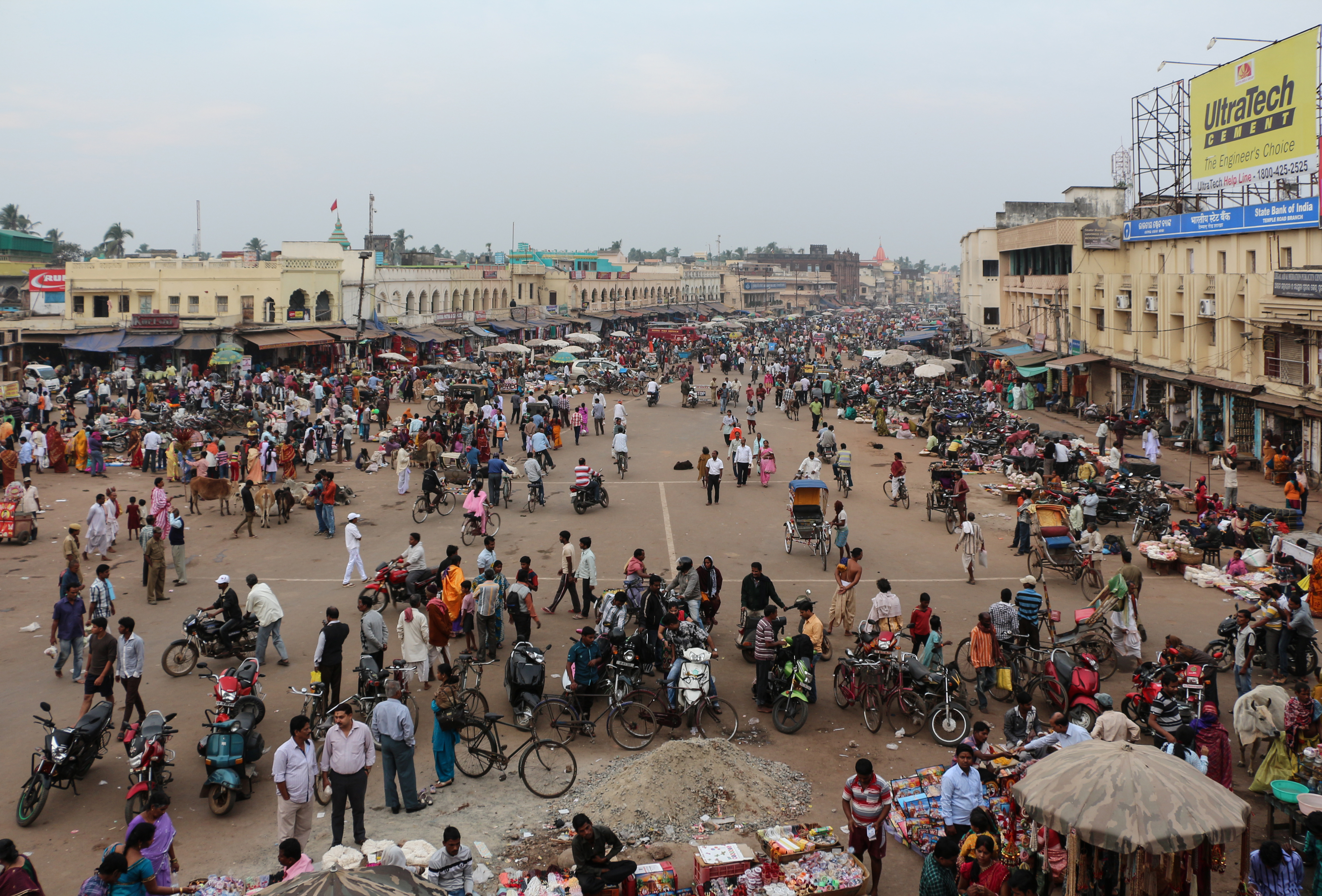
Baghamari
Baghamari is a village located in the Western part of the district of Khurda in the Indian state of Orissa. The population is more than 20,000. The meaning of the name of this village is 'Killing the Tigers'. In times prior to Independence of India (..
Baghamari Wikipedia Page


About Our Data
The data on this page is estimated using a number of publicly available tools and resources. It is provided without warranty, and could contain inaccuracies. Use at your own risk.