Categories in Dhubri
Industries
Business Distribution by Industry in Dhubri
| Industry Description | Number of Establishments |
|---|---|
| Shopping other | 2,463 |
| Shopping | 1,372 |
| Education | 1,287 |
| Electronics stores | 1,034 |
| Grocery stores and supermarkets | 984 |
| Pharmacies and drug stores | 711 |
| Clothing stores | 650 |
| Mosques | 490 |
Dhubri Facts
| Area | 7.4 km² |
| Population | 77,824 |
| Male Population | 39,996 (51.4%) |
| Female Population | 37,828 (48.6%) |
| Population change (1975 to 2020) | +145.0% |
| Population change (2000 to 2020) | +11.5% |
| Median Age | 20.9 years (Male: 20.7, Female: 21.1) |
| Area Codes | 3662 |
| Neighborhoods | Boro Bazar, College Nagar, Ward No. 1, Boro Bazar, Bidyapara, Santi Nagar |
| Local Time | |
| Timezone | India Standard Time |
| Lat & Lng | 26.01856, 89.98564 |
| Pin Codes | 783127, 783128, 783135, 783301, 783323, More |
Map of Dhubri
Interactive Map
Dhubri Population
Years 1975 to 2020
| Data | 1975 | 1990 | 2000 | 2015 | 2020 |
|---|---|---|---|---|---|
| Population | 31,769 | 54,552 | 69,801 | 73,480 | 77,824 |
| Population Density | 4,307.7 / km² | 7,396.9 / km² | 9,464.5 / km² | 9,963.4 / km² | 10,552.4 / km² |
Dhubri Population change from 2000 to 2015
Increase of 5.3% from year 2000 to 2015
| Location | Change since 1975 | Change since 1990 | Change since 2000 |
|---|---|---|---|
| Dhubri | +131.3% | +34.7% | +5.3% |
| Assam | +110.1% | +49.1% | +23.4% |
| India | +111.1% | +50.6% | +24.5% |
Dhubri Median Age
Median Age: 20.9 years
| Location | Median Age | Median Age (Female) | Median Age (Male) |
|---|---|---|---|
| Dhubri | 20.9 yrs | 21.1 yrs | 20.7 yrs |
| Assam | 23.9 yrs | 23.8 yrs | 24 yrs |
| India | 24.9 yrs | 25.4 yrs | 24.5 yrs |
Dhubri Population Density
Population Density: 10,552 / km²
| Location | Population | Area | Density |
|---|---|---|---|
| Dhubri | 77,824 | 7.4 km² | 10,552 / km² |
| Assam | 33.5 million | 78,481.8 km² | 427 / km² |
| India | 1,307 million | 3,083,563.4 km² | 424 / km² |
Dhubri Historical and Projected Population
Estimated Population from 1710 to 2100
- JRC (European Commission's Joint Research Centre) work on the GHS built-up grid
- CIESIN (Center for International Earth Science Information Network)
- [Link] Klein Goldewijk, K., Beusen, A., Doelman, J., and Stehfest, E.: Anthropogenic land use estimates for the Holocene – HYDE 3.2, Earth Syst. Sci. Data, 9, 927–953, https://doi.org/10.5194/essd-9-927-2017, 2017.
Neighborhoods in Dhubri
Percentage of businesses by neighborhood in Dhubri
Area Codes
Percentage Area Codes used by businesses in Dhubri
Pin Codes
Percentage of businesses by Postal Codes in Dhubri
Price Distribution
Business distribution by price for Dhubri
Human Development Index (HDI)
Statistic composite index of life expectancy, education, and per capita income.
Dhubri CO2 Emissions
Carbon Dioxide (CO2) Emissions Per Capita in Tonnes Per Year
| Location | CO2 Emissions | CO2 Emissions Per Capita | CO2 Emissions Intensity |
|---|---|---|---|
| Dhubri | 99,207 tn | 1.27 tn | 13,451.8 tons/km² |
| Assam | 42,390,546 tn | 1.26 tn | 540.1 tons/km² |
| India | 1,928,568,344 tn | 1.48 tn | 625.4 tons/km² |
| 2013 CO2 emissions (tonnes/year) | 99,207 tn |
| 2013 CO2 emissions (tonnes/year) per capita | 1.27 tn |
| 2013 CO2 emissions intensity (tonnes/km²/year) | 13,451.8 tons/km² |
Natural Hazards Risk
Relative risk out of 10
| Hazard | Risk Level |
|---|---|
| Drought | Medium (5) |
| Flood | High (10) |
| Earthquake | Medium (7) |
* Risk, particularly concerning flood or landslide, may not be for the entire area.
- Dilley, M., R.S. Chen, U. Deichmann, A.L. Lerner-Lam, M. Arnold, J. Agwe, P. Buys, O. Kjekstad, B. Lyon, and G. Yetman. 2005. Natural Disaster Hotspots: A Global Risk Analysis. Washington, D.C.: World Bank. https://doi.org/10.1596/0-8213-5930-4.
- Center for Hazards and Risk Research - CHRR - Columbia University, Center for International Earth Science Information Network - CIESIN - Columbia University, and International Research Institute for Climate and Society - IRI - Columbia University. 2005. Global Drought Hazard Frequency and Distribution. Palisades, NY: NASA Socioeconomic Data and Applications Center (SEDAC). https://doi.org/10.7927/H4VX0DFT.
- Center for Hazards and Risk Research - CHRR - Columbia University, Center for International Earth Science Information Network - CIESIN - Columbia University. 2005. Global Flood Hazard Frequency and Distribution. Palisades, NY: NASA Socioeconomic Data and Applications Center (SEDAC). https://doi.org/10.7927/H4668B3D.
- Center for Hazards and Risk Research - CHRR - Columbia University, Center for International Earth Science Information Network - CIESIN - Columbia University. 2005. Global Earthquake Hazard Distribution - Peak Ground Acceleration. Palisades, NY: NASA Socioeconomic Data and Applications Center (SEDAC). https://doi.org/10.7927/H4BZ63ZS.
Recent Nearby Earthquakes
Magnitude 3.0 and greater
| Date▼ | Time↕ | Magnitude↕ | Distance↕ | Depth↕ | Location↕ | Link |
|---|---|---|---|---|---|---|
| 9/25/18 | 3:47 AM | 4.4 | 90.2 km | 10,000 m | 29km ESE of Goalpara, India | usgs.gov |
| 9/12/18 | 4:50 AM | 5.3 | 42.8 km | 10,000 m | 6km NE of Sapatgram, India | usgs.gov |
| 3/21/18 | 10:58 PM | 4 | 33.8 km | 10,000 m | 15km SSW of Goshaingaon, India | usgs.gov |
| 1/20/18 | 1:14 AM | 4.5 | 16.8 km | 11,470 m | 5km NE of Golakganj, India | usgs.gov |
| 12/11/17 | 3:35 AM | 4.6 | 93.5 km | 10,000 m | 46km WNW of Nongstoin, India | usgs.gov |
| 9/7/17 | 2:32 PM | 4.1 | 85.9 km | 36,670 m | 27km S of Tura, India | usgs.gov |
| 4/25/17 | 4:14 PM | 4.3 | 99.9 km | 31,190 m | 40km WNW of Nongstoin, India | usgs.gov |
| 10/23/16 | 3:56 PM | 4.6 | 28.1 km | 24,310 m | 5km NW of Lakhipur, India | usgs.gov |
| 5/16/16 | 6:03 PM | 4.3 | 27.3 km | 35,120 m | 16km SSW of Lakhipur, India | usgs.gov |
| 4/5/16 | 7:42 AM | 5 | 63 km | 10,000 m | 38km SE of Lakhipur, India | usgs.gov |
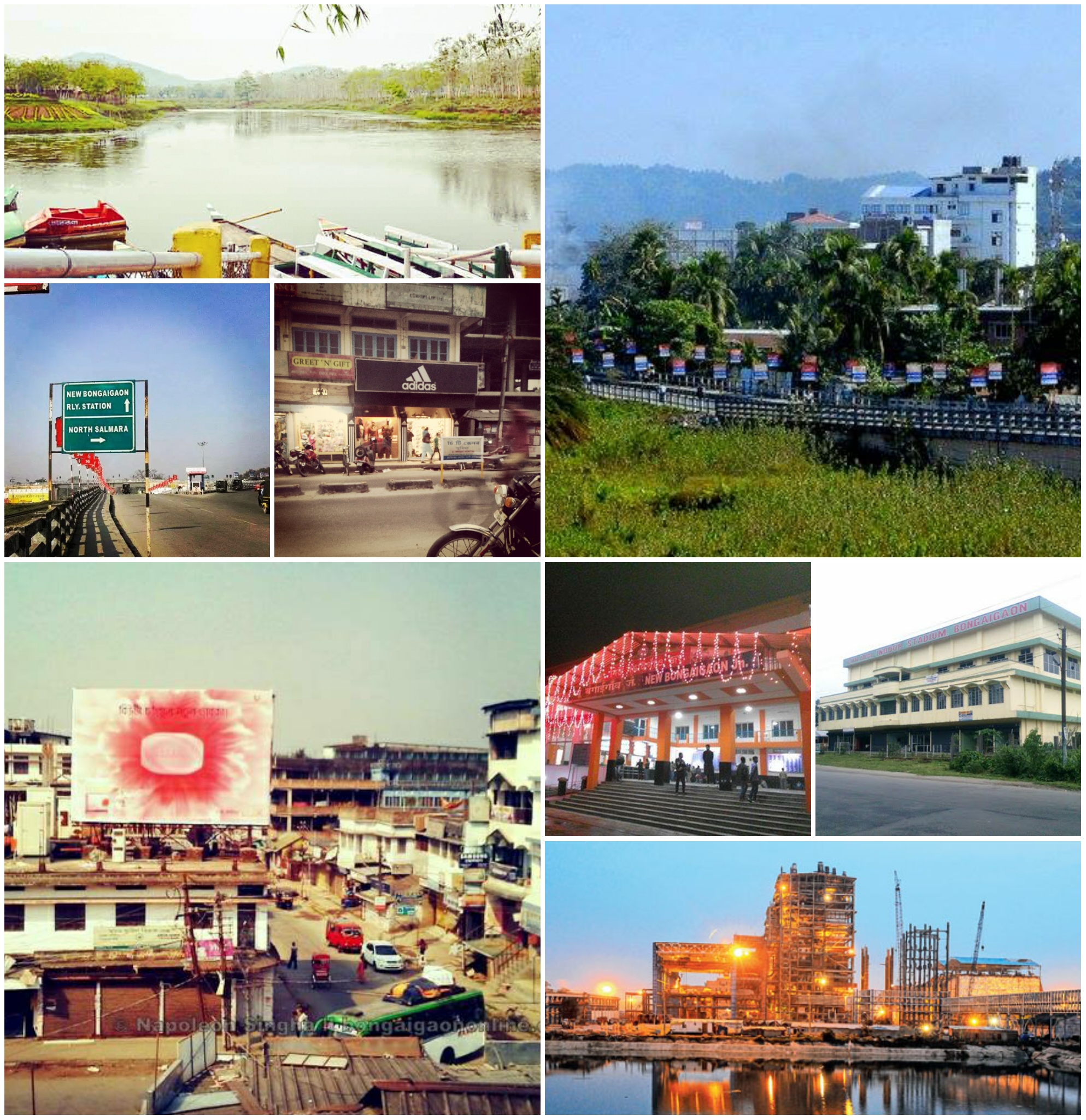
Dhubri
Dhubri (Pron: ˈdʊbri) is the headquarter of Dhubri district (Assam) India. It is an old town on the bank of the Brahmaputra and Gadadhar rivers, with historical significances. In 1883, the town was first constituted as a Municipal Board. It is situat..
Dhubri Wikipedia Page


About Our Data
The data on this page is estimated using a number of publicly available tools and resources. It is provided without warranty, and could contain inaccuracies. Use at your own risk.