Categories in Dundlod
Auto Parts StoreCar repairCar WashGas StationMotorcycle repairTire ShopBuilding Materials SupplierConstruction Material WholesalerFarmingPoultry FarmSeed SupplierWholesalersClothing storesJewelers and watchesShoe storesWomen's clothingMobile phone storesAshramGovernment OfficeHindu templeMosquesPost OfficeReligionReligious DestinationElectronics StoreMobile Phone Repair ShopBuilding Materials StoreConstruction of buildingsHardware storeHome Goods StoreHousing DevelopmentCoaching CenterCollegeEducationEducational InstitutionEducation CenterElementary SchoolGeneral education schoolHome HelpPrimary SchoolSecondary schoolHeritage BuildingLibrariesMuseumsPhotography StudioTourist AttractionBakeriesBars, pubs and tavernsCafesCandy stores
Showing 1-50 of 97
Industries
Business Distribution by Industry in Dundlod
| Industry Description | Number of Establishments |
|---|---|
| Shopping | 139 |
| Hindu temple | 113 |
| Education | 75 |
| Travel and transportation | 62 |
| Shopping other | 54 |
| Grocery stores and supermarkets | 54 |
| Restaurants | 51 |
| Tractors and farm equipment | 45 |
| Electronics stores | 41 |
| Religion | 40 |
| Clothing stores | 39 |
| Other accommodation | 31 |
| Hardware store | 28 |
Map of Dundlod
Interactive Map
Area Codes
Percentage Area Codes used by businesses in Dundlod
Recent Nearby Earthquakes
Magnitude 3.0 and greater
| Date▼ | Time↕ | Magnitude↕ | Distance↕ | Depth↕ | Location↕ | Link |
|---|---|---|---|---|---|---|
| 7/8/18 | 4:13 AM | 3.6 | 97.5 km | 10,000 m | 7km N of Kot Putli, India | usgs.gov |
| 9/3/15 | 5:57 PM | 4 | 64 km | 14,200 m | 7km WNW of Ringas, India | usgs.gov |
| 2/24/13 | 12:57 AM | 3.6 | 75.4 km | 10,000 m | 12km SW of Ringas, India | usgs.gov |
| 12/20/12 | 1:00 PM | 3.9 | 92.1 km | 10,000 m | Rajasthan, India | usgs.gov |
| 8/10/03 | 11:17 AM | 4.5 | 91.4 km | 10,000 m | Rajasthan, India | usgs.gov |
| 5/2/02 | 2:29 PM | 4.1 | 62 km | 33,000 m | Rajasthan, India | usgs.gov |
Source: U.S. Geological Survey (USGS)
Dundlod
Dundlod (Hindi: डुण्डलोद) (Rajasthani: डळौद) is a town in Jhunjhunu district of Rajasthan in India. It is situated in the Shekhawati region of Rajasthan. It is famous for its fort and havelis. It extends between latitude 28°.06’ in the north and long..
Dundlod Wikipedia Page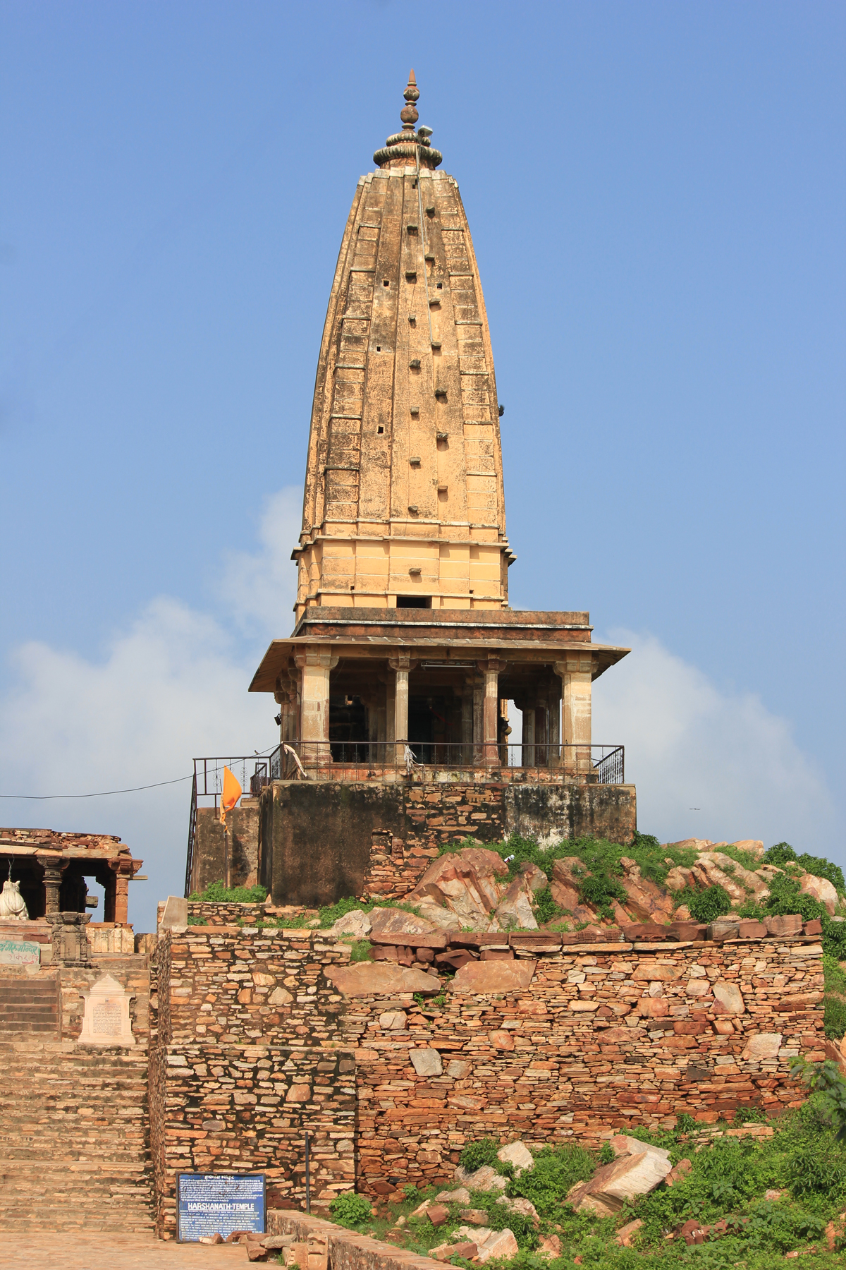


About Our Data
The data on this page is estimated using a number of publicly available tools and resources. It is provided without warranty, and could contain inaccuracies. Use at your own risk.