Gwaldam Facts
| Local Time | |
| Timezone | India Standard Time |
| Lat & Lng | 30.00614, 79.56877 |
| Pin Codes | 246441 |
Map of Gwaldam
Interactive Map
Recent Nearby Earthquakes
Magnitude 3.0 and greater
| Date▼ | Time↕ | Magnitude↕ | Distance↕ | Depth↕ | Location↕ | Link |
|---|---|---|---|---|---|---|
| 12/6/17 | 3:19 PM | 5.1 | 79.9 km | 10,000 m | 35km NW of Pipalkoti, India | usgs.gov |
| 2/6/17 | 5:03 PM | 5.1 | 81.7 km | 16,050 m | 36km NW of Pipalkoti, India | usgs.gov |
| 9/29/15 | 9:27 AM | 4.6 | 77.7 km | 35,000 m | 22km NW of Darchula, Nepal | usgs.gov |
| 8/5/15 | 7:15 PM | 4.1 | 84 km | 10,000 m | 60km NNW of Darchula, Nepal | usgs.gov |
| 7/18/15 | 11:48 PM | 4.4 | 63.2 km | 10,000 m | 24km NE of Rudraprayag, India | usgs.gov |
| 4/1/15 | 9:23 PM | 4.9 | 38.8 km | 10,000 m | 10km SSE of Pipalkoti, India | usgs.gov |
| 12/6/14 | 4:27 AM | 4.1 | 85.6 km | 10,000 m | 45km ENE of Joshimath, India | usgs.gov |
| 8/24/14 | 8:29 AM | 4.4 | 37.8 km | 10,000 m | 27km NE of Bageshwar, India | usgs.gov |
| 7/6/14 | 2:48 PM | 4.1 | 82.3 km | 43,730 m | 55km NNW of Dharchula, India | usgs.gov |
| 7/3/14 | 11:35 AM | 4 | 78.8 km | 35,000 m | 47km NNW of Dharchula, India | usgs.gov |
Source: U.S. Geological Survey (USGS)
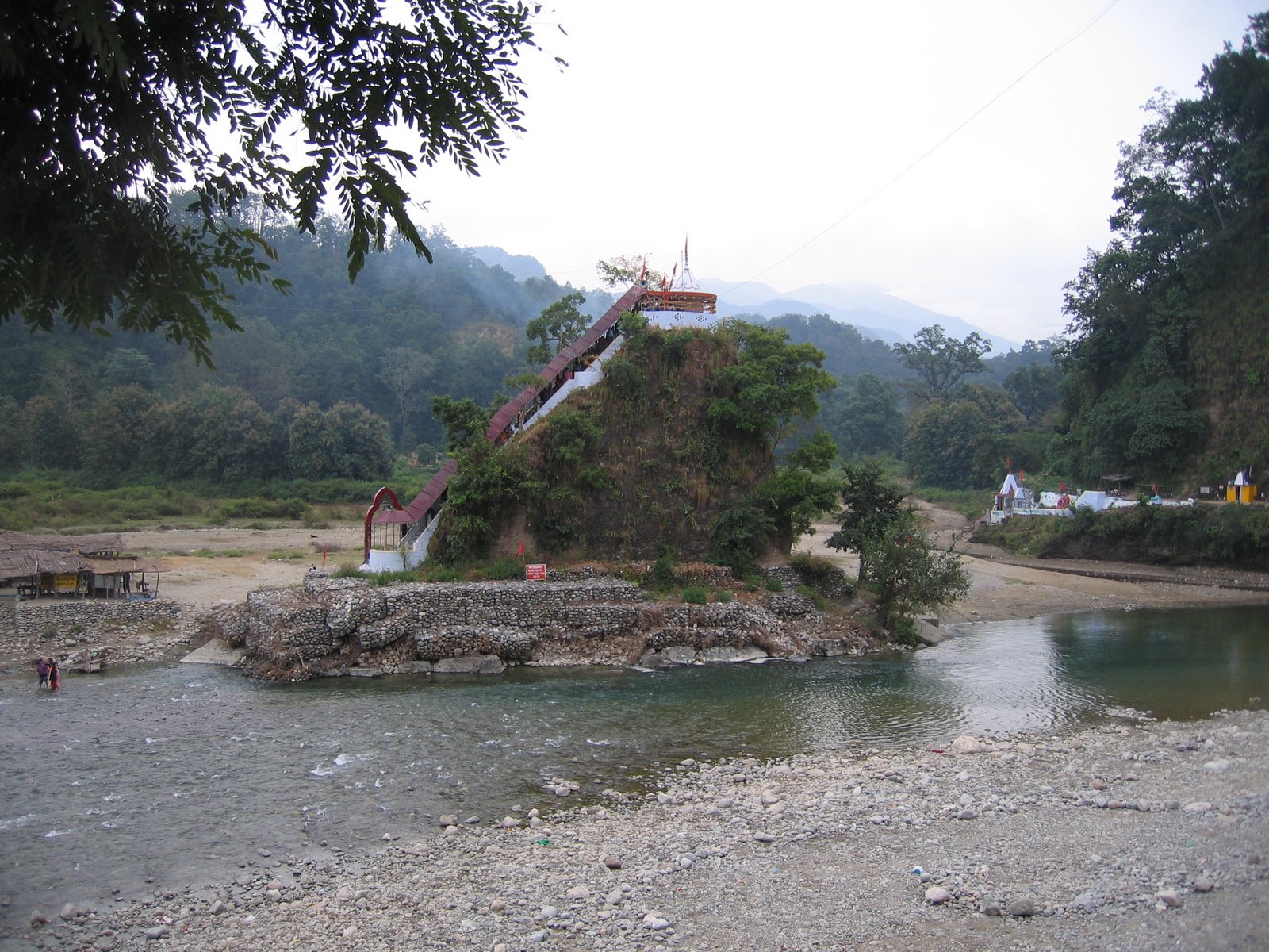
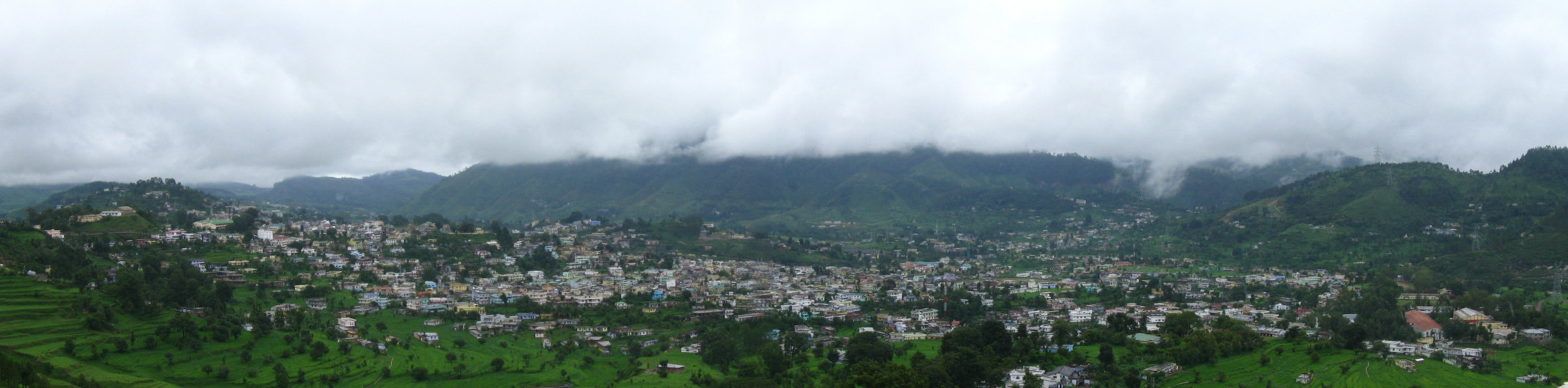
Gwaldam
Telephone code +91- is a hill station in India, situated between the Garhwal and Kumaon. 39 km from Kausani.
Gwaldam Wikipedia Page

About Our Data
The data on this page is estimated using a number of publicly available tools and resources. It is provided without warranty, and could contain inaccuracies. Use at your own risk.