Categories in Kantilo
Clothing storesShoe storesClubGovernment OfficeHindu templeReligionElectronics Repair ShopElectronics StoreHome Goods StoreEducationEducational InstitutionEducation CenterPrimary SchoolTourist AttractionBakeriesCafesFast food restaurantsGrocery stores and supermarketsInternet cafesRestaurantsAtm'sApartment BuildingHousing ComplexGeneral StorePharmacyShoppingShopping MallFishing PondPlaygroundHotels and motelsHousing Society
Industries
Business Distribution by Industry in Kantilo
| Industry Description | Number of Establishments |
|---|---|
| Hindu temple | 49 |
| Shopping | 25 |
| Education | 18 |
| Religion | 16 |
| Restaurants | 12 |
| Electronics stores | 10 |
| Cafes | 9 |
| Playground | 7 |
| Hotels and motels | 7 |
| Grocery stores and supermarkets | 6 |
| Pharmacies and drug stores | 6 |
| Other accommodation | 6 |
| Electronics repair | 6 |
Kantilo Facts
| Neighborhoods | Orakal |
| Local Time | |
| Timezone | India Standard Time |
| Lat & Lng | 20.36436, 85.19634 |
| Pin Codes | 752078 |
Map of Kantilo
Interactive Map
Area Codes
Percentage Area Codes used by businesses in Kantilo
Pin Codes
Percentage of businesses by Postal Codes in Kantilo
Recent Nearby Earthquakes
Magnitude 3.0 and greater
| Date▼ | Time↕ | Magnitude↕ | Distance↕ | Depth↕ | Location↕ | Link |
|---|---|---|---|---|---|---|
| 1/19/86 | 6:53 AM | 4.4 | 70.8 km | 33,000 m | Orissa, India | usgs.gov |
Source: U.S. Geological Survey (USGS)
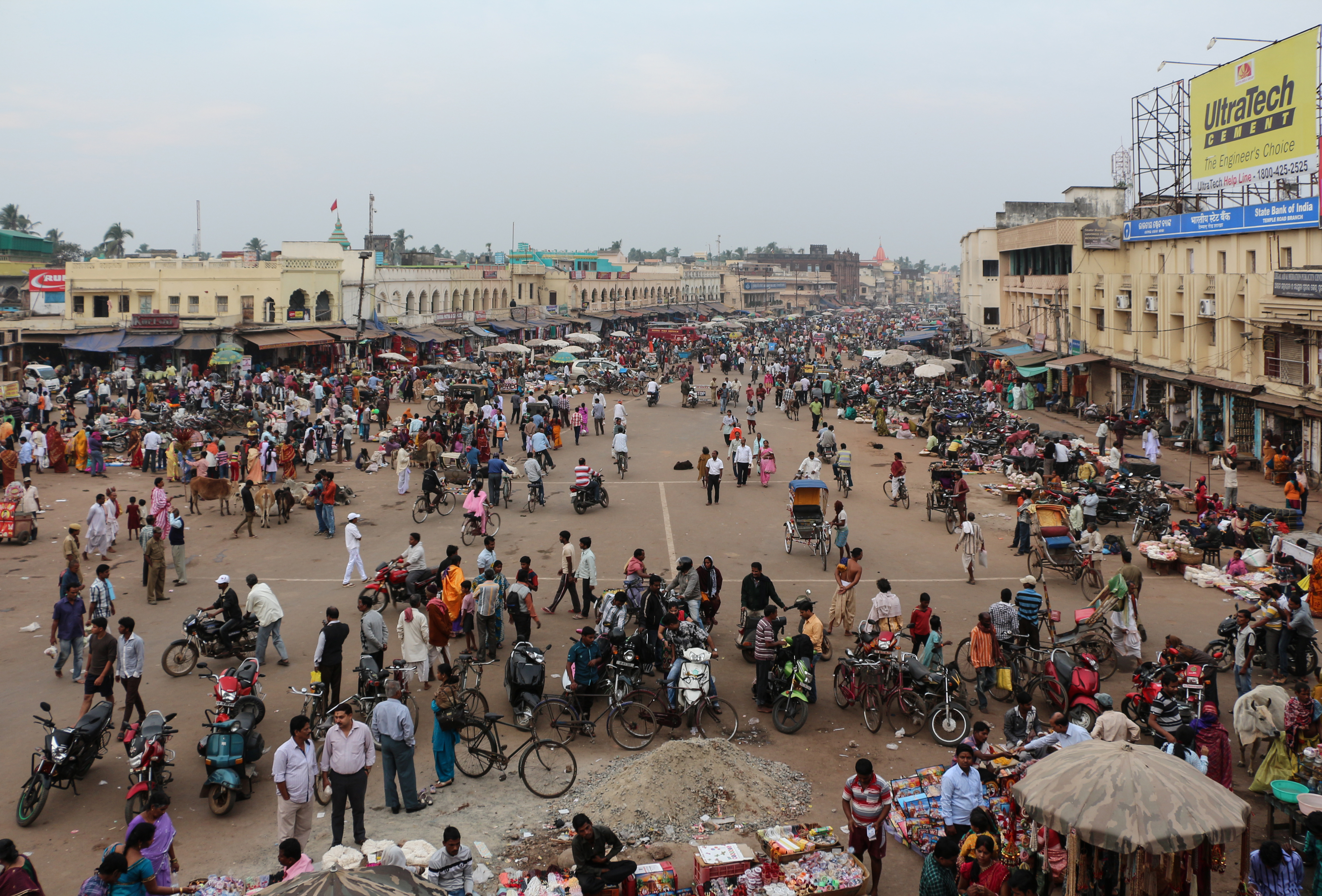
Kantilo
Kantilo is a census town in Nayagarh district in the Indian state of Odisha. Kantilo is 100 km from its state capital Bhubaneswar and 33 km from district headquarters Nayagarh. Kantilo is famous for bell metal utensil, but nowadays it is losing its s..
Kantilo Wikipedia Page


About Our Data
The data on this page is estimated using a number of publicly available tools and resources. It is provided without warranty, and could contain inaccuracies. Use at your own risk.