Categories in Kumta
Industries
Business Distribution by Industry in Kumta
| Industry Description | Number of Establishments |
|---|---|
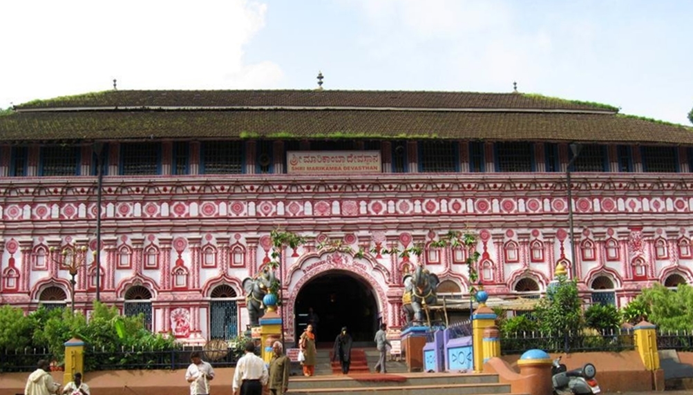
| Hindu temple | 426 |
| Education | 259 |
| Shopping | 255 |
| Religion | 142 |
| Restaurants | 138 |
| Shopping other | 122 |
| Electronics stores | 86 |
| Travel and transportation | 86 |
| Other accommodation | 86 |
| Travel agencies | 74 |
| Clothing stores | 73 |
Kumta Facts
| Area | 494.7 km² |
| Population | 190,097 |
| Male Population | 95,702 (50.3%) |
| Female Population | 94,395 (49.7%) |
| Population change (1975 to 2020) | +51.5% |
| Population change (2000 to 2020) | +12.8% |
| Median Age | 29.1 years (Male: 28.7, Female: 29.4) |
| Area Codes | 8386 |
| Neighborhoods | Herwatta, santgal, Devagundi, Nellikeri, Holangadde |
| Local Time | |
| Timezone | India Standard Time |
| Lat & Lng | 14.42853, 74.41890 |
| Pin Codes | 581319, 581323, 581330, 581332, 581333, More |
Map of Kumta
Interactive Map
Kumta Population
Years 1975 to 2020
| Data | 1975 | 1990 | 2000 | 2015 | 2020 |
|---|---|---|---|---|---|
| Population | 125,486 | 152,985 | 168,566 | 178,988 | 190,097 |
| Population Density | 253.7 / km² | 309.3 / km² | 340.8 / km² | 361.8 / km² | 384.3 / km² |
Kumta Population change from 2000 to 2015
Increase of 6.2% from year 2000 to 2015
| Location | Change since 1975 | Change since 1990 | Change since 2000 |
|---|---|---|---|
| Kumta | +42.6% | +17% | +6.2% |
| Karnataka | +93% | +43.6% | +21.3% |
| India | +111.1% | +50.6% | +24.5% |
Kumta Median Age
Median Age: 29.1 years
| Location | Median Age | Median Age (Female) | Median Age (Male) |
|---|---|---|---|
| Kumta | 29.1 yrs | 29.4 yrs | 28.7 yrs |
| Karnataka | 27.3 yrs | 27.7 yrs | 26.9 yrs |
| India | 24.9 yrs | 25.4 yrs | 24.5 yrs |
Kumta Population Density
Population Density: 384 / km²
| Location | Population | Area | Density |
|---|---|---|---|
| Kumta | 190,097 | 494.7 km² | 384 / km² |
| Karnataka | 65.4 million | 191,736.8 km² | 341 / km² |
| India | 1,307 million | 3,083,563.4 km² | 424 / km² |
Kumta Historical and Projected Population
Estimated Population from 0 to 2100
- JRC (European Commission's Joint Research Centre) work on the GHS built-up grid
- CIESIN (Center for International Earth Science Information Network)
- [Link] Klein Goldewijk, K., Beusen, A., Doelman, J., and Stehfest, E.: Anthropogenic land use estimates for the Holocene – HYDE 3.2, Earth Syst. Sci. Data, 9, 927–953, https://doi.org/10.5194/essd-9-927-2017, 2017.
Neighborhoods in Kumta
Percentage of businesses by neighborhood in Kumta
Area Codes
Percentage Area Codes used by businesses in Kumta
Pin Codes
Percentage of businesses by Postal Codes in Kumta
Price Distribution
Business distribution by price for Kumta
Human Development Index (HDI)
Statistic composite index of life expectancy, education, and per capita income.
Kumta CO2 Emissions
Carbon Dioxide (CO2) Emissions Per Capita in Tonnes Per Year
| Location | CO2 Emissions | CO2 Emissions Per Capita | CO2 Emissions Intensity |
|---|---|---|---|
| Kumta | 266,910 tn | 1.4 tn | 539.6 tons/km² |
| Karnataka | 96,165,493 tn | 1.47 tn | 501.5 tons/km² |
| India | 1,928,568,344 tn | 1.48 tn | 625.4 tons/km² |
| 2013 CO2 emissions (tonnes/year) | 266,910 tn |
| 2013 CO2 emissions (tonnes/year) per capita | 1.4 tn |
| 2013 CO2 emissions intensity (tonnes/km²/year) | 539.6 tons/km² |
Natural Hazards Risk
Relative risk out of 10
| Hazard | Risk Level |
|---|---|
| Drought | Medium (5) |
* Risk, particularly concerning flood or landslide, may not be for the entire area.
- Dilley, M., R.S. Chen, U. Deichmann, A.L. Lerner-Lam, M. Arnold, J. Agwe, P. Buys, O. Kjekstad, B. Lyon, and G. Yetman. 2005. Natural Disaster Hotspots: A Global Risk Analysis. Washington, D.C.: World Bank. https://doi.org/10.1596/0-8213-5930-4.
- Center for Hazards and Risk Research - CHRR - Columbia University, Center for International Earth Science Information Network - CIESIN - Columbia University, and International Research Institute for Climate and Society - IRI - Columbia University. 2005. Global Drought Hazard Frequency and Distribution. Palisades, NY: NASA Socioeconomic Data and Applications Center (SEDAC). https://doi.org/10.7927/H4VX0DFT.
Kumta
Kumta is a town and a taluk in the Uttara Kannada district of Karnataka, India. Kumta is about 142 km south of Margao and 58 km north of Bhatkal. It is one of the important stations along the Konkan Railway line running between Mumbai and Mangalore.
Kumta Wikipedia Page

About Our Data
The data on this page is estimated using a number of publicly available tools and resources. It is provided without warranty, and could contain inaccuracies. Use at your own risk.