Malari Facts
| Local Time | |
| Timezone | India Standard Time |
| Lat & Lng | 30.68612, 79.89023 |
Map of Malari
Interactive Map
Price Distribution
Business distribution by price for Malari
Recent Nearby Earthquakes
Magnitude 3.0 and greater
| Date▼ | Time↕ | Magnitude↕ | Distance↕ | Depth↕ | Location↕ | Link |
|---|---|---|---|---|---|---|
| 4/19/18 | 10:52 PM | 4 | 80.3 km | 29,830 m | 54km S of Garyarsa, China | usgs.gov |
| 12/6/17 | 3:19 PM | 5.1 | 70.2 km | 10,000 m | 35km NW of Pipalkoti, India | usgs.gov |
| 2/6/17 | 5:03 PM | 5.1 | 69.6 km | 16,050 m | 36km NW of Pipalkoti, India | usgs.gov |
| 8/5/15 | 7:15 PM | 4.1 | 55.7 km | 10,000 m | 60km NNW of Darchula, Nepal | usgs.gov |
| 7/18/15 | 11:48 PM | 4.4 | 75.4 km | 10,000 m | 24km NE of Rudraprayag, India | usgs.gov |
| 4/1/15 | 9:23 PM | 4.9 | 51.9 km | 10,000 m | 10km SSE of Pipalkoti, India | usgs.gov |
| 2/14/15 | 12:44 AM | 4.2 | 87.1 km | 32,720 m | 44km S of Garyarsa, China | usgs.gov |
| 2/13/15 | 10:21 PM | 4.1 | 75.4 km | 29,910 m | 59km S of Garyarsa, China | usgs.gov |
| 12/6/14 | 4:27 AM | 4.1 | 13.2 km | 10,000 m | 45km ENE of Joshimath, India | usgs.gov |
| 8/24/14 | 8:29 AM | 4.4 | 72.1 km | 10,000 m | 27km NE of Bageshwar, India | usgs.gov |
Source: U.S. Geological Survey (USGS)
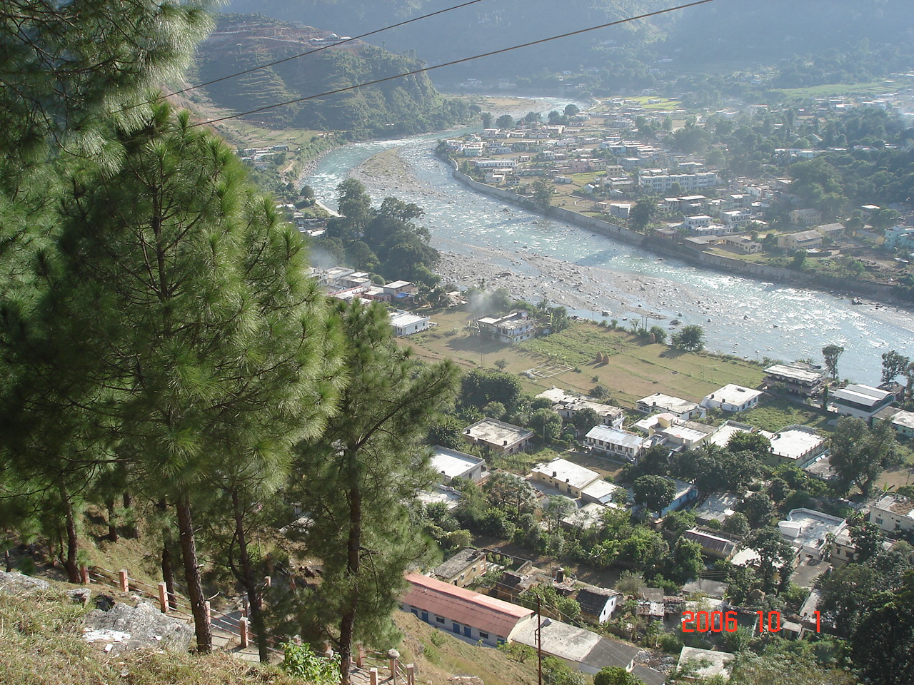
Malari
in the Dhauli Ganga valley of the Nanda Devi Biosphere reserve is a small village near the Tibet border. This area has been declared as a world heritage site. Located 61 km from Joshimath. "On the way to Malari we saw the fabled Dronagiri parvat fr..
Malari Wikipedia Page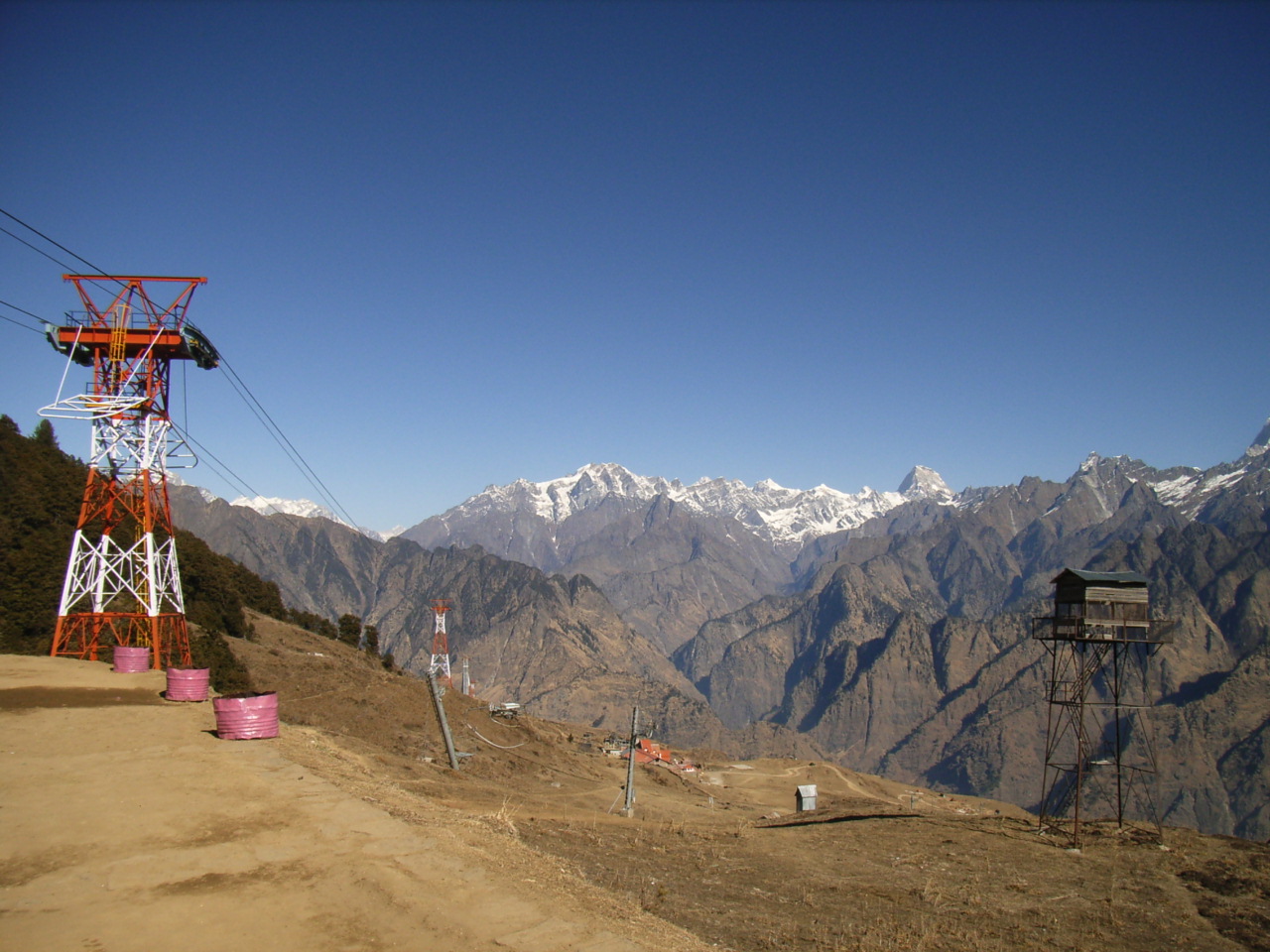

About Our Data
The data on this page is estimated using a number of publicly available tools and resources. It is provided without warranty, and could contain inaccuracies. Use at your own risk.