Businesses in Mysore
Categories in Mysore
Industries
Business Distribution by Industry in Mysore
| Industry Description | Number of Establishments | Average Age of Business |
|---|---|---|
| Shopping | 6,435 | 26 years |
| Shopping other | 3,394 | 34 years |
| Restaurants | 3,375 | — |
| Clothing stores | 2,559 | — |
| Education | 2,521 | 25 years |
| Electronics stores | 2,409 | 19 years |
| Grocery stores and supermarkets | 2,358 | — |
| Hindu temple | 2,267 | — |
| Corporate management | 2,166 | 20 years |
| Other accommodation | 1,715 | — |
| Real estate | 1,519 | — |
Mysore Facts
| Area | 174.8 km² |
| Population | 1,476,329 |
| Male Population | 743,005 (50.3%) |
| Female Population | 733,324 (49.7%) |
| Population change (1975 to 2020) | +93.7% |
| Population change (2000 to 2020) | +21.1% |
| Median Age | 28.6 years (Male: 28.5, Female: 28.8) |
| Area Codes | 821 |
| Neighborhoods | Subbarayanakere, Lashkar Mohalla, Mandi Mohalla, Devaraja Mohalla, Kuvempu Nagara, Agrahara |
| Local Time | |
| Timezone | India Standard Time |
| Lat & Lng | 12.29791, 76.63925 |
| Pin Codes | 570001, 570002, 570004, 570005, 570006, More |
Map of Mysore
Interactive Map
Mysore Population
Years 1975 to 2020
| Data | 1975 | 1990 | 2000 | 2015 | 2020 |
|---|---|---|---|---|---|
| Population | 761,988 | 1,059,460 | 1,218,945 | 1,397,157 | 1,476,329 |
| Population Density | 4,360.4 / km² | 6,062.7 / km² | 6,975.4 / km² | 7,995.2 / km² | 8,448.2 / km² |
Mysore Population change from 2000 to 2015
Increase of 14.6% from year 2000 to 2015
| Location | Change since 1975 | Change since 1990 | Change since 2000 |
|---|---|---|---|
| Mysore | +83.4% | +31.9% | +14.6% |
| Karnataka | +93% | +43.6% | +21.3% |
| India | +111.1% | +50.6% | +24.5% |
Mysore Median Age
Median Age: 28.6 years
| Location | Median Age | Median Age (Female) | Median Age (Male) |
|---|---|---|---|
| Mysore | 28.6 yrs | 28.8 yrs | 28.5 yrs |
| Karnataka | 27.3 yrs | 27.7 yrs | 26.9 yrs |
| India | 24.9 yrs | 25.4 yrs | 24.5 yrs |
Mysore Population Density
Population Density: 8,448 / km²
| Location | Population | Area | Density |
|---|---|---|---|
| Mysore | 1.5 million | 174.8 km² | 8,448 / km² |
| Karnataka | 65.4 million | 191,736.8 km² | 341 / km² |
| India | 1,307 million | 3,083,563.4 km² | 424 / km² |
Mysore Historical and Projected Population
Estimated Population from 1700 to 2100
- JRC (European Commission's Joint Research Centre) work on the GHS built-up grid
- CIESIN (Center for International Earth Science Information Network)
- [Link] Klein Goldewijk, K., Beusen, A., Doelman, J., and Stehfest, E.: Anthropogenic land use estimates for the Holocene – HYDE 3.2, Earth Syst. Sci. Data, 9, 927–953, https://doi.org/10.5194/essd-9-927-2017, 2017.
Neighborhoods in Mysore
Percentage of businesses by neighborhood in Mysore
Pin Codes
Percentage of businesses by Postal Codes in Mysore
Price Distribution
Business distribution by price for Mysore
Human Development Index (HDI)
Statistic composite index of life expectancy, education, and per capita income.
Mysore CO2 Emissions
Carbon Dioxide (CO2) Emissions Per Capita in Tonnes Per Year
| Location | CO2 Emissions | CO2 Emissions Per Capita | CO2 Emissions Intensity |
|---|---|---|---|
| Mysore | 2,816,505 tn | 1.91 tn | 16,117.3 tons/km² |
| Karnataka | 96,165,493 tn | 1.47 tn | 501.5 tons/km² |
| India | 1,928,568,344 tn | 1.48 tn | 625.4 tons/km² |
| 2013 CO2 emissions (tonnes/year) | 2,816,505 tn |
| 2013 CO2 emissions (tonnes/year) per capita | 1.91 tn |
| 2013 CO2 emissions intensity (tonnes/km²/year) | 16,117.3 tons/km² |
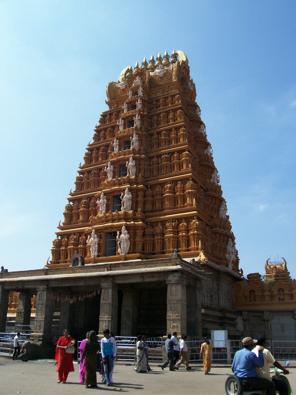
Mysore
Mysore (/maɪˈsʊər/), officially renamed as Mysuru, is the third most populous city in the state of Karnataka, India. Located at the base of the Chamundi Hills about 146 km (91 mi) southwest of the state capital Bangalore, it is spread across an area ..
Mysore Wikipedia Page


About Our Data
The data on this page is estimated using a number of publicly available tools and resources. It is provided without warranty, and could contain inaccuracies. Use at your own risk.