Categories in Aqrah
Aqrah Facts
| Local Time | |
| Timezone | Arabian Standard Time |
| Lat & Lng | 36.73322, 43.87964 |
| Postal Codes | 42004 |
Map of Aqrah
Interactive Map
Recent Nearby Earthquakes
Magnitude 3.0 and greater
| Date▼ | Time↕ | Magnitude↕ | Distance↕ | Depth↕ | Location↕ | Link |
|---|---|---|---|---|---|---|
| 7/10/19 | 10:56 AM | 4.3 | 55.5 km | 10,000 m | 33km NE of Sinah, Iraq | usgs.gov |
| 8/2/13 | 1:10 AM | 4.2 | 57.3 km | 10,130 m | 17km E of Qada' Talkif, Iraq | usgs.gov |
| 3/13/13 | 6:23 AM | 4.3 | 48.6 km | 28,200 m | 28km ENE of Qada' Talkif, Iraq | usgs.gov |
| 3/11/13 | 2:57 PM | 4.9 | 39.9 km | 7,000 m | 35km NE of Qada' Talkif, Iraq | usgs.gov |
| 9/13/12 | 2:42 AM | 4.5 | 32.3 km | 9,100 m | Iraq | usgs.gov |
| 9/12/12 | 11:29 PM | 4.3 | 46 km | 9,300 m | Turkey-Iraq border region | usgs.gov |
| 12/6/11 | 3:46 PM | 4.5 | 58.6 km | 13,600 m | Turkey-Iraq border region | usgs.gov |
| 11/2/11 | 11:43 AM | 4.6 | 44.8 km | 10,000 m | Turkey-Iraq border region | usgs.gov |
| 10/27/11 | 8:04 AM | 5.1 | 58 km | 10,000 m | Turkey-Iraq border region | usgs.gov |
| 1/2/11 | 1:14 PM | 4.2 | 54.5 km | 38,300 m | Iraq | usgs.gov |
Source: U.S. Geological Survey (USGS)
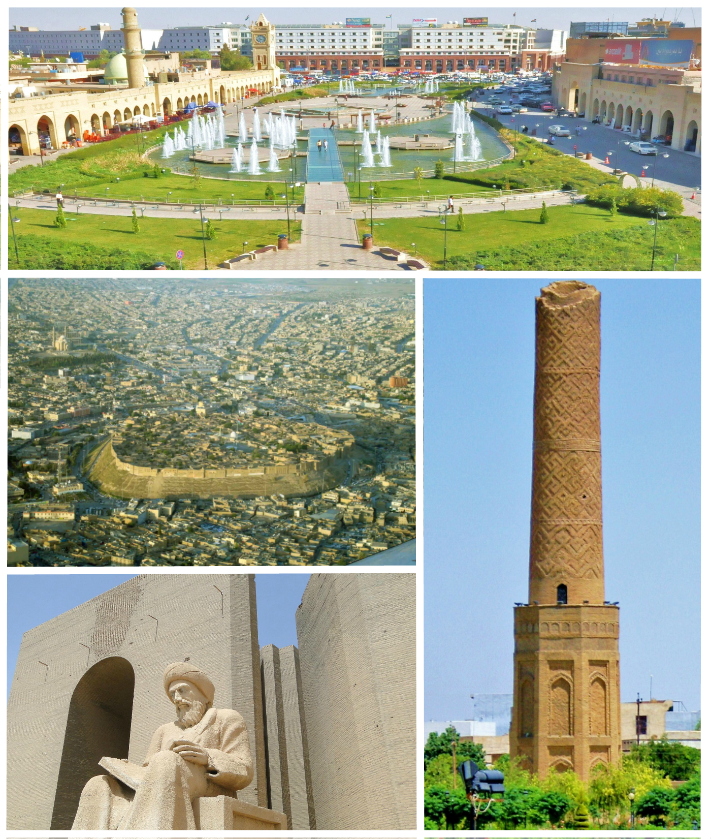
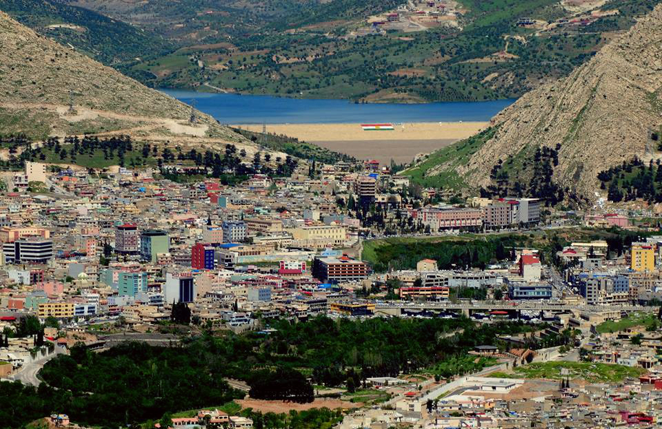
Aqrah
Aqrah (Kurdish Akrê, ئاکرێ; Syriac: ܥܩܪܐ ʻAqra, from the Syriac for "barren" in reference to the land) is a city and district in Iraqi Kurdistan which is located in the Dohuk Governorate since 1991. The total area of the district is 6418 km². city'..
Aqrah Wikipedia Page

About Our Data
The data on this page is estimated using a number of publicly available tools and resources. It is provided without warranty, and could contain inaccuracies. Use at your own risk.