Archang Facts
| Local Time | |
| Timezone | Iran Standard Time |
| Lat & Lng | 36.39420, 59.31800 |
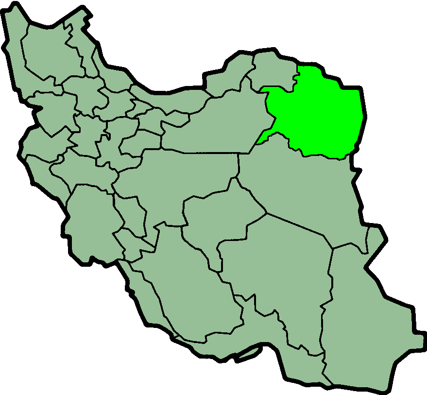
Map of Archang
Interactive Map
Recent Nearby Earthquakes
Magnitude 3.0 and greater
| Date▼ | Time↕ | Magnitude↕ | Distance↕ | Depth↕ | Location↕ | Link |
|---|---|---|---|---|---|---|
| 8/23/14 | 2:30 AM | 4.2 | 33.2 km | 10,000 m | 13km ENE of Chenaran, Iran | usgs.gov |
| 1/28/14 | 4:16 PM | 4.3 | 92.3 km | 10,000 m | 48km WNW of Neyshabur, Iran | usgs.gov |
| 12/7/13 | 11:12 PM | 4.4 | 89.6 km | 14,100 m | 36km S of Quchan, Iran | usgs.gov |
| 1/19/12 | 5:42 PM | 4.2 | 40.3 km | 10,000 m | northeastern Iran | usgs.gov |
| 1/19/12 | 12:35 PM | 5.1 | 44.9 km | 8,300 m | northeastern Iran | usgs.gov |
| 5/24/11 | 8:30 PM | 4.6 | 95.9 km | 12,800 m | northeastern Iran | usgs.gov |
| 12/19/06 | 8:57 AM | 4.2 | 92 km | 3,000 m | northeastern Iran | usgs.gov |
| 8/7/05 | 5:23 PM | 4.5 | 75.9 km | 1,900 m | northeastern Iran | usgs.gov |
| 12/17/04 | 8:08 PM | 3.6 | 90.6 km | 11,900 m | northeastern Iran | usgs.gov |
| 9/19/04 | 9:43 PM | 3.4 | 80.4 km | 10,000 m | Turkmenistan-Iran border region | usgs.gov |
Source: U.S. Geological Survey (USGS)
Archang
Archang (Persian: ارچنگ) is a village in Shandiz Rural District, Shandiz District, Torqabeh and Shandiz County, Razavi Khorasan Province, Iran. At the 2006 census, its population was 1,830, in 523 families.
Archang Wikipedia Page
About Our Data
The data on this page is estimated using a number of publicly available tools and resources. It is provided without warranty, and could contain inaccuracies. Use at your own risk.