Bagh Tak Facts
| Local Time | |
| Timezone | Iran Standard Time |
| Lat & Lng | 28.85940, 58.20330 |
Map of Bagh Tak
Interactive Map
Recent Nearby Earthquakes
Magnitude 3.0 and greater
| Date▼ | Time↕ | Magnitude↕ | Distance↕ | Depth↕ | Location↕ | Link |
|---|---|---|---|---|---|---|
| 1/14/19 | 1:27 AM | 4 | 31.8 km | 10,000 m | 13km WNW of Bam, Iran | usgs.gov |
| 11/16/18 | 8:16 PM | 4.9 | 65.7 km | 10,000 m | 94km S of Bam, Iran | usgs.gov |
| 9/30/18 | 1:23 PM | 4.7 | 70.2 km | 10,000 m | 77km ESE of Kuh Sefid, Iran | usgs.gov |
| 7/15/18 | 11:48 AM | 4.5 | 98 km | 10,000 m | 122km NNE of Minab, Iran | usgs.gov |
| 7/15/17 | 6:18 PM | 4 | 48.7 km | 10,000 m | 67km WSW of Bam, Iran | usgs.gov |
| 5/20/16 | 11:59 AM | 4.4 | 72.2 km | 98,900 m | 92km SSE of Bam, Iran | usgs.gov |
| 6/18/14 | 12:29 AM | 3.7 | 23.4 km | 19,100 m | 7km SSW of Bam, Iran | usgs.gov |
| 5/12/14 | 4:42 PM | 4.1 | 62.8 km | 10,000 m | 91km S of Bam, Iran | usgs.gov |
| 4/1/14 | 6:40 AM | 4.2 | 72.9 km | 10,000 m | 104km SSW of Bam, Iran | usgs.gov |
| 4/1/14 | 6:37 AM | 4.4 | 93.1 km | 10,000 m | 124km SSW of Bam, Iran | usgs.gov |
Source: U.S. Geological Survey (USGS)
Bagh Tak
Bagh Tak (Persian: باغ تك, also Romanized as Bāgh Tak) is a village in Howmeh Rural District, in the Central District of Bam County, Kerman Province, Iran. At the 2006 census, its population was 171, in 50 families.
Bagh Tak Wikipedia Page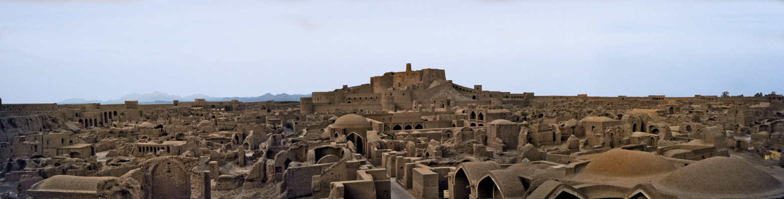
About Our Data
The data on this page is estimated using a number of publicly available tools and resources. It is provided without warranty, and could contain inaccuracies. Use at your own risk.