Bahmadi Facts
| Local Time | |
| Timezone | Iran Standard Time |
| Lat & Lng | 25.82814, 57.66565 |
Map of Bahmadi
Interactive Map
Recent Nearby Earthquakes
Magnitude 3.0 and greater
| Date▼ | Time↕ | Magnitude↕ | Distance↕ | Depth↕ | Location↕ | Link |
|---|---|---|---|---|---|---|
| 7/13/17 | 1:04 AM | 4.1 | 94.4 km | 10,000 m | 102km ESE of Minab, Iran | usgs.gov |
| 3/10/15 | 9:32 PM | 4.1 | 84.2 km | 20,500 m | 126km SE of Minab, Iran | usgs.gov |
| 2/7/14 | 7:43 PM | 4.2 | 77.6 km | 10,020 m | 87km SE of Minab, Iran | usgs.gov |
| 2/3/14 | 7:00 PM | 4.3 | 99.7 km | 12,200 m | 83km SE of Minab, Iran | usgs.gov |
| 2/2/14 | 2:46 PM | 4 | 73.6 km | 10,000 m | 83km SSE of Minab, Iran | usgs.gov |
| 2/2/14 | 2:46 PM | 4 | 86 km | 10,000 m | 75km SE of Minab, Iran | usgs.gov |
| 2/2/14 | 2:26 PM | 5.3 | 84.6 km | 10,000 m | 90km SE of Minab, Iran | usgs.gov |
| 11/7/13 | 11:38 PM | 4.1 | 81.7 km | 12,000 m | 78km SSE of Minab, Iran | usgs.gov |
| 6/30/13 | 4:25 PM | 4.3 | 90.3 km | 10,000 m | 111km ESE of Minab, Iran | usgs.gov |
| 6/19/13 | 8:05 PM | 4 | 78.9 km | 25,600 m | southern Iran | usgs.gov |
Source: U.S. Geological Survey (USGS)
Bahmadi
Bahmadi (Persian: بهمدي, also Romanized as Bahmadī) is a village in Jask Rural District, in the Central District of Jask County, Hormozgan Province, Iran. At the 2006 census, its population was 382, in 69 families.
Bahmadi Wikipedia Page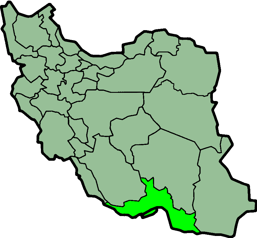
About Our Data
The data on this page is estimated using a number of publicly available tools and resources. It is provided without warranty, and could contain inaccuracies. Use at your own risk.