Chenar-e Arabha Facts
| Area Codes | 221 |
| Local Time | |
| Timezone | Iran Standard Time |
| Lat & Lng | 35.69988, 52.10929 |
Map of Chenar-e Arabha
Interactive Map
Recent Nearby Earthquakes
Magnitude 3.0 and greater
| Date▼ | Time↕ | Magnitude↕ | Distance↕ | Depth↕ | Location↕ | Link |
|---|---|---|---|---|---|---|
| 4/1/18 | 6:26 PM | 4 | 36.9 km | 10,000 m | 23km NNE of Istgah-e Garmsar, Iran | usgs.gov |
| 1/15/18 | 1:50 PM | 4.4 | 52.4 km | 10,000 m | 56km E of Damavand, Iran | usgs.gov |
| 12/26/17 | 9:24 PM | 4 | 77.3 km | 10,000 m | 15km W of Tehran, Iran | usgs.gov |
| 8/25/15 | 5:36 PM | 4.6 | 44.5 km | 6,670 m | 46km NNE of Istgah-e Garmsar, Iran | usgs.gov |
| 8/16/14 | 11:55 PM | 4.1 | 32.7 km | 8,000 m | 33km NE of Damavand, Iran | usgs.gov |
| 5/10/14 | 10:04 PM | 4.1 | 48.4 km | 10,000 m | 39km SSW of Amol, Iran | usgs.gov |
| 8/17/12 | 8:31 PM | 3.8 | 25.1 km | 7,300 m | northern Iran | usgs.gov |
| 2/10/12 | 8:59 AM | 4.7 | 30.7 km | 14,300 m | northern Iran | usgs.gov |
| 1/11/12 | 5:08 PM | 5.1 | 92 km | 15,800 m | northern Iran | usgs.gov |
| 2/20/11 | 11:22 AM | 4.2 | 39.2 km | 7,000 m | northern Iran | usgs.gov |
Source: U.S. Geological Survey (USGS)
Chenar-e Arabha
Chenar-e Arabha (Persian: چنارعربها, also Romanized as Chenār-e ‘Arabhā) is a village in Tarrud Rural District, in the Central District of Damavand County, Tehran Province, Iran. At the 2006 census, its population was 330, in 93 families.
Chenar-e Arabha Wikipedia Page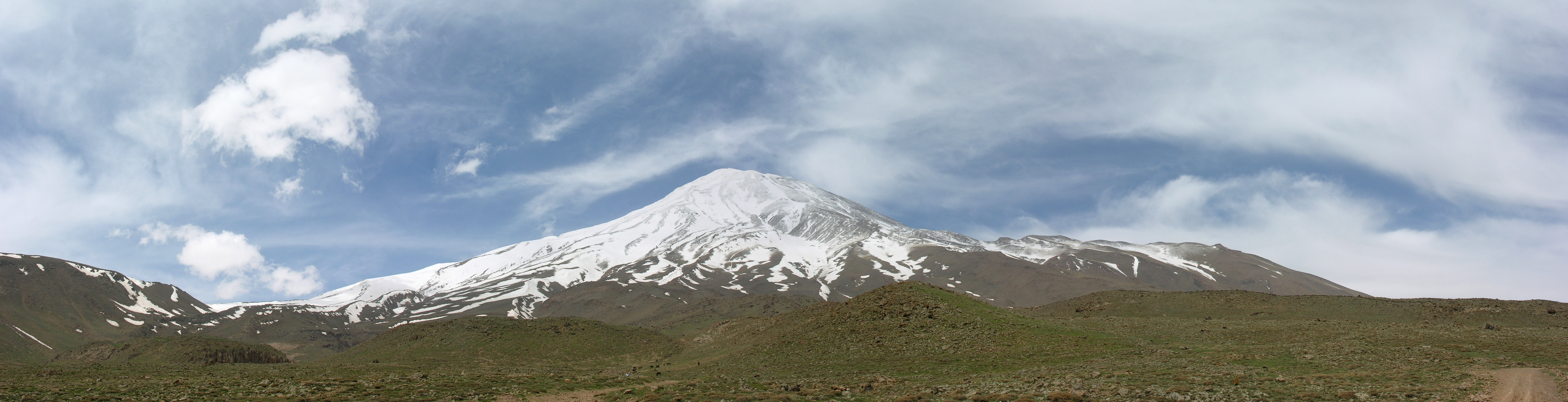

About Our Data
The data on this page is estimated using a number of publicly available tools and resources. It is provided without warranty, and could contain inaccuracies. Use at your own risk.