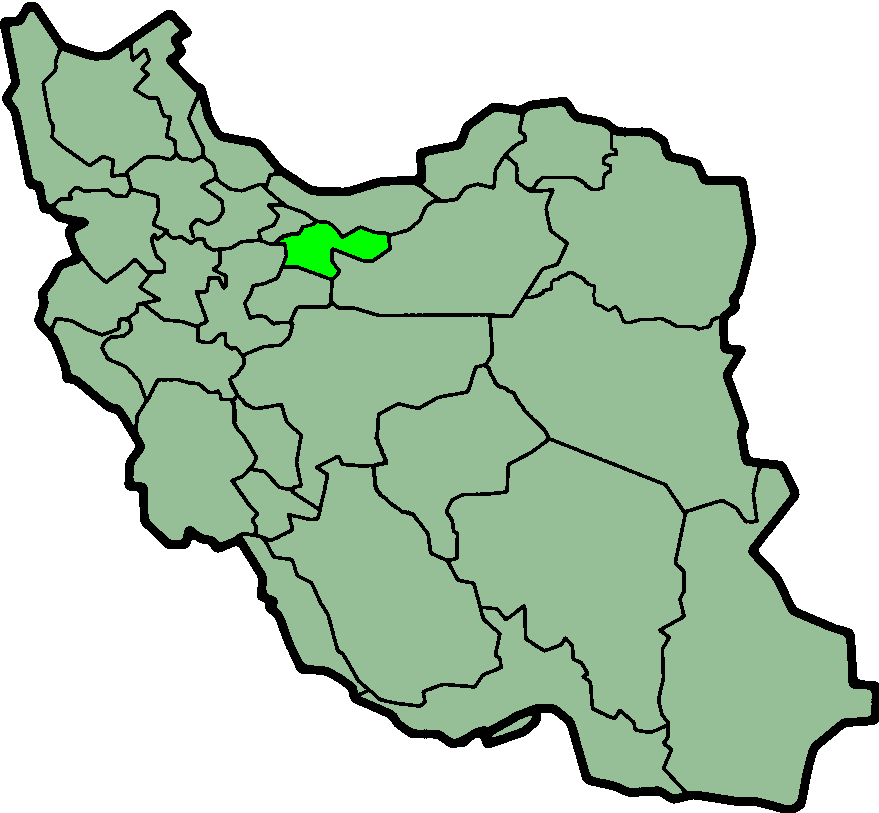
Map of Ira, Tehran
Interactive Map
Recent Nearby Earthquakes
Magnitude 3.0 and greater
| Date▼ | Time↕ | Magnitude↕ | Distance↕ | Depth↕ | Location↕ | Link |
|---|---|---|---|---|---|---|
| 4/1/18 | 6:26 PM | 4 | 62.5 km | 10,000 m | 23km NNE of Istgah-e Garmsar, Iran | usgs.gov |
| 1/15/18 | 1:50 PM | 4.4 | 77 km | 10,000 m | 56km E of Damavand, Iran | usgs.gov |
| 12/26/17 | 9:24 PM | 4 | 53.9 km | 10,000 m | 15km W of Tehran, Iran | usgs.gov |
| 12/20/17 | 7:57 PM | 4.9 | 81.4 km | 10,000 m | 2km SW of Malard, Iran | usgs.gov |
| 8/25/15 | 5:36 PM | 4.6 | 71.3 km | 6,670 m | 46km NNE of Istgah-e Garmsar, Iran | usgs.gov |
| 8/16/14 | 11:55 PM | 4.1 | 44.4 km | 8,000 m | 33km NE of Damavand, Iran | usgs.gov |
| 5/10/14 | 10:04 PM | 4.1 | 49.8 km | 10,000 m | 39km SSW of Amol, Iran | usgs.gov |
| 8/17/12 | 8:31 PM | 3.8 | 4.1 km | 7,300 m | northern Iran | usgs.gov |
| 2/10/12 | 8:59 AM | 4.7 | 57.7 km | 14,300 m | northern Iran | usgs.gov |
| 2/20/11 | 11:22 AM | 4.2 | 42 km | 7,000 m | northern Iran | usgs.gov |
Source: U.S. Geological Survey (USGS)
Ira, Tehran
Ira (Persian: ايرا, also Romanized as Īrā) is a village in Lavasan-e Bozorg Rural District, Lavasanat District, Shemiranat County, Tehran Province, Iran. At the 2006 census, its population was 106, in 37 families.
Ira, Tehran Wikipedia Page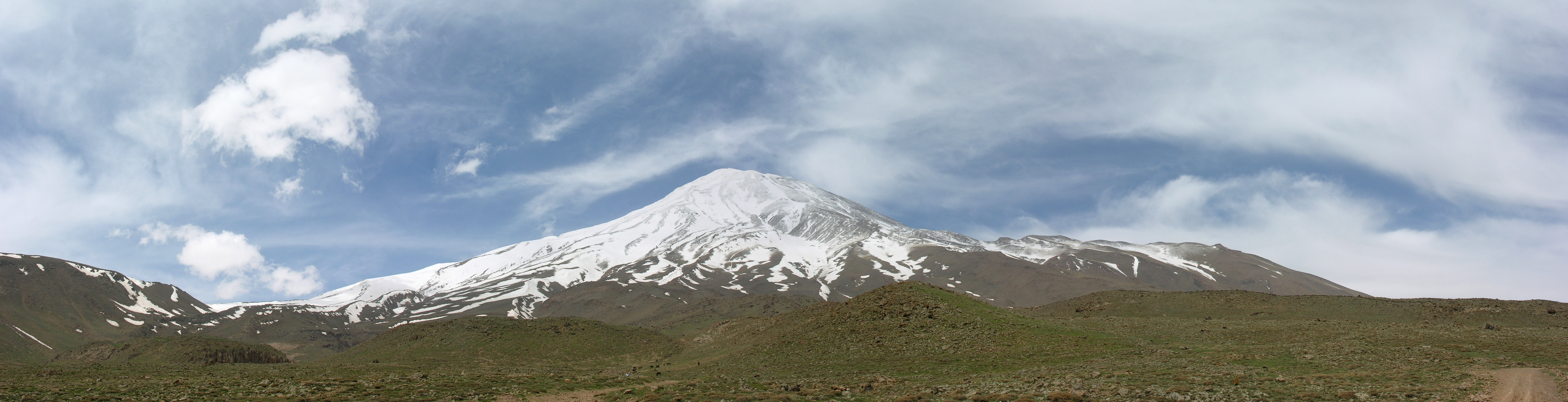

About Our Data
The data on this page is estimated using a number of publicly available tools and resources. It is provided without warranty, and could contain inaccuracies. Use at your own risk.