Kilan Facts
| Area Codes | 872 |
| Local Time | |
| Timezone | Iran Standard Time |
| Lat & Lng | 35.55030, 52.16813 |
Map of Kilan
Interactive Map
Recent Nearby Earthquakes
Magnitude 3.0 and greater
| Date▼ | Time↕ | Magnitude↕ | Distance↕ | Depth↕ | Location↕ | Link |
|---|---|---|---|---|---|---|
| 4/1/18 | 6:26 PM | 4 | 21.5 km | 10,000 m | 23km NNE of Istgah-e Garmsar, Iran | usgs.gov |
| 1/15/18 | 1:50 PM | 4.4 | 51.3 km | 10,000 m | 56km E of Damavand, Iran | usgs.gov |
| 12/26/17 | 9:24 PM | 4 | 84.7 km | 10,000 m | 15km W of Tehran, Iran | usgs.gov |
| 8/25/15 | 5:36 PM | 4.6 | 37.8 km | 6,670 m | 46km NNE of Istgah-e Garmsar, Iran | usgs.gov |
| 8/16/14 | 11:55 PM | 4.1 | 45.9 km | 8,000 m | 33km NE of Damavand, Iran | usgs.gov |
| 5/10/14 | 10:04 PM | 4.1 | 64 km | 10,000 m | 39km SSW of Amol, Iran | usgs.gov |
| 9/27/13 | 6:04 AM | 4.2 | 99.4 km | 10,700 m | 62km SE of Istgah-e Garmsar, Iran | usgs.gov |
| 8/17/12 | 8:31 PM | 3.8 | 40.3 km | 7,300 m | northern Iran | usgs.gov |
| 2/10/12 | 8:59 AM | 4.7 | 23.3 km | 14,300 m | northern Iran | usgs.gov |
| 2/20/11 | 11:22 AM | 4.2 | 33.5 km | 7,000 m | northern Iran | usgs.gov |
Source: U.S. Geological Survey (USGS)
Kilan
Kilan (Persian: كيلان, or more properly, Kailan, also Romanized as Kīlān; also known as Kilun) is a city in the Central District of Damavand County, Tehran Province, Iran. At the 2006 census, its population was 3,038, in 913 families. name is deri..
Kilan Wikipedia Page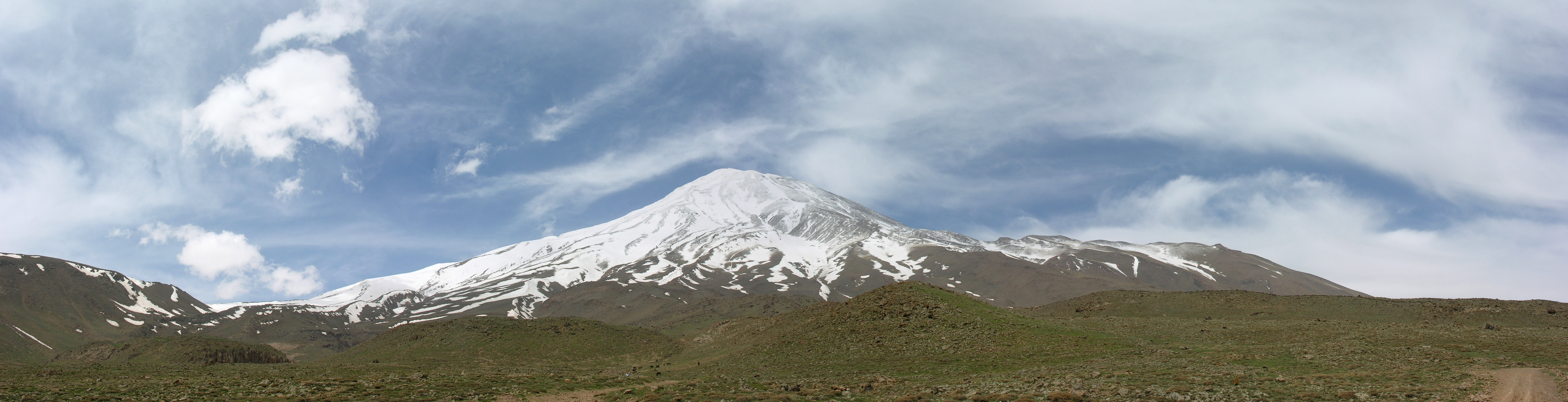
About Our Data
The data on this page is estimated using a number of publicly available tools and resources. It is provided without warranty, and could contain inaccuracies. Use at your own risk.