Categories in Negur
Negur Facts
| Local Time | |
| Timezone | Iran Standard Time |
| Lat & Lng | 25.38882, 61.13834 |
Map of Negur
Interactive Map
Recent Nearby Earthquakes
Magnitude 3.0 and greater
| Date▼ | Time↕ | Magnitude↕ | Distance↕ | Depth↕ | Location↕ | Link |
|---|---|---|---|---|---|---|
| 11/30/12 | 8:08 AM | 4.4 | 62.9 km | 10,000 m | Gulf of Oman | usgs.gov |
| 3/29/12 | 7:03 PM | 4.6 | 56.7 km | 10,000 m | near the coast of southeastern Iran | usgs.gov |
| 1/30/11 | 6:29 PM | 4.1 | 55.6 km | 10,000 m | near the coast of southeastern Iran | usgs.gov |
| 10/16/08 | 10:26 AM | 3.9 | 77.9 km | 10,000 m | off the coast of Pakistan | usgs.gov |
| 11/24/05 | 9:26 PM | 4.2 | 92.8 km | 10,000 m | near the coast of southeastern Iran | usgs.gov |
| 11/24/05 | 9:17 PM | 4.2 | 84.7 km | 10,000 m | near the coast of southeastern Iran | usgs.gov |
| 8/4/01 | 2:07 PM | 4.5 | 58.7 km | 33,000 m | off the coast of Pakistan | usgs.gov |
| 6/3/99 | 5:57 PM | 4.5 | 76.6 km | 10,000 m | Gulf of Oman | usgs.gov |
| 9/18/96 | 2:36 PM | 4.8 | 71.8 km | 10,000 m | Iran-Pakistan border region | usgs.gov |
| 12/17/92 | 10:39 AM | 5.7 | 64.4 km | 33,000 m | Iran-Pakistan border region | usgs.gov |
Source: U.S. Geological Survey (USGS)
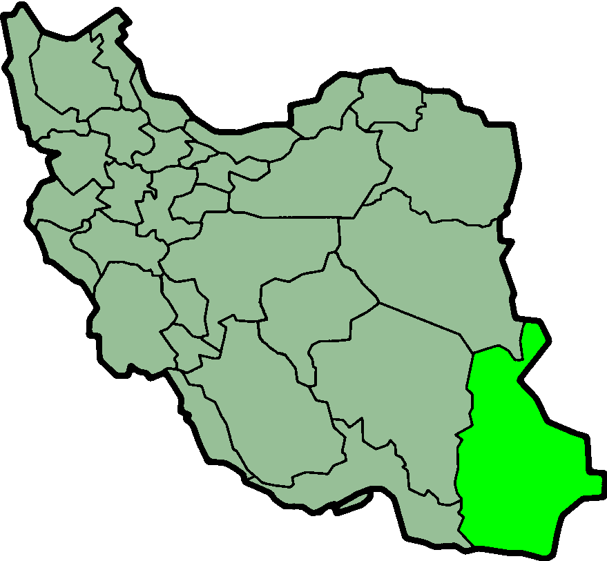
Negur
Negur (Persian: نگور, also Romanized as Negūr, Nigor, Nīgvār, and Nī Kor) is a city in and capital of Dashtiari District, in Chah Bahar County, Sistan and Baluchestan Province, Iran. At the 2006 census, its population was 3,759, in 647 families.
Negur Wikipedia Page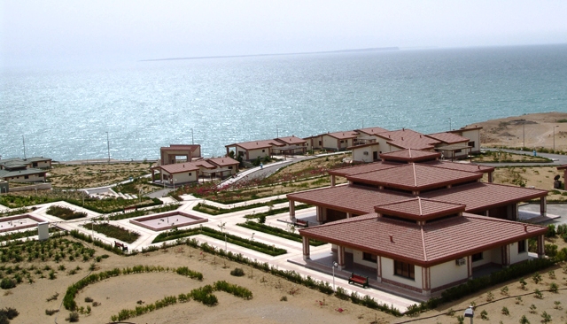
About Our Data
The data on this page is estimated using a number of publicly available tools and resources. It is provided without warranty, and could contain inaccuracies. Use at your own risk.