Categories in Ramjerd
Industries
Business Distribution by Industry in Ramjerd
| Industry Description | Number of Establishments |
|---|---|
| Shopping | 5 |
Ramjerd Facts
| Local Time | |
| Timezone | Iran Standard Time |
| Lat & Lng | 30.13390, 52.61030 |
Map of Ramjerd
Interactive Map
Recent Nearby Earthquakes
Magnitude 3.0 and greater
| Date▼ | Time↕ | Magnitude↕ | Distance↕ | Depth↕ | Location↕ | Link |
|---|---|---|---|---|---|---|
| 5/18/19 | 7:48 AM | 4.6 | 75.5 km | 10,000 m | 35km ENE of Kazerun, Iran | usgs.gov |
| 12/23/18 | 11:44 PM | 4 | 40.9 km | 10,000 m | 70km NE of Khani Yek, Iran | usgs.gov |
| 9/23/18 | 5:22 AM | 4.7 | 91.3 km | 10,000 m | 40km ESE of Kazerun, Iran | usgs.gov |
| 2/20/18 | 12:53 PM | 4.4 | 48.5 km | 10,000 m | 47km E of Khani Yek, Iran | usgs.gov |
| 9/4/14 | 11:51 PM | 4.3 | 79.9 km | 17,000 m | 39km W of Shiraz, Iran | usgs.gov |
| 8/27/14 | 11:51 AM | 4.2 | 83.1 km | 5,400 m | 37km WSW of Shiraz, Iran | usgs.gov |
| 9/1/13 | 3:58 PM | 4.6 | 88.3 km | 15,300 m | 26km WNW of Akbarabad, Iran | usgs.gov |
| 5/12/13 | 10:40 PM | 4.4 | 62.4 km | 14,100 m | 18km E of Shiraz, Iran | usgs.gov |
| 5/11/13 | 5:10 AM | 4.1 | 78.7 km | 17,900 m | 26km E of Nurabad, Iran | usgs.gov |
| 2/25/13 | 1:54 PM | 4.1 | 71.9 km | 18,000 m | 36km W of Shiraz, Iran | usgs.gov |
Source: U.S. Geological Survey (USGS)
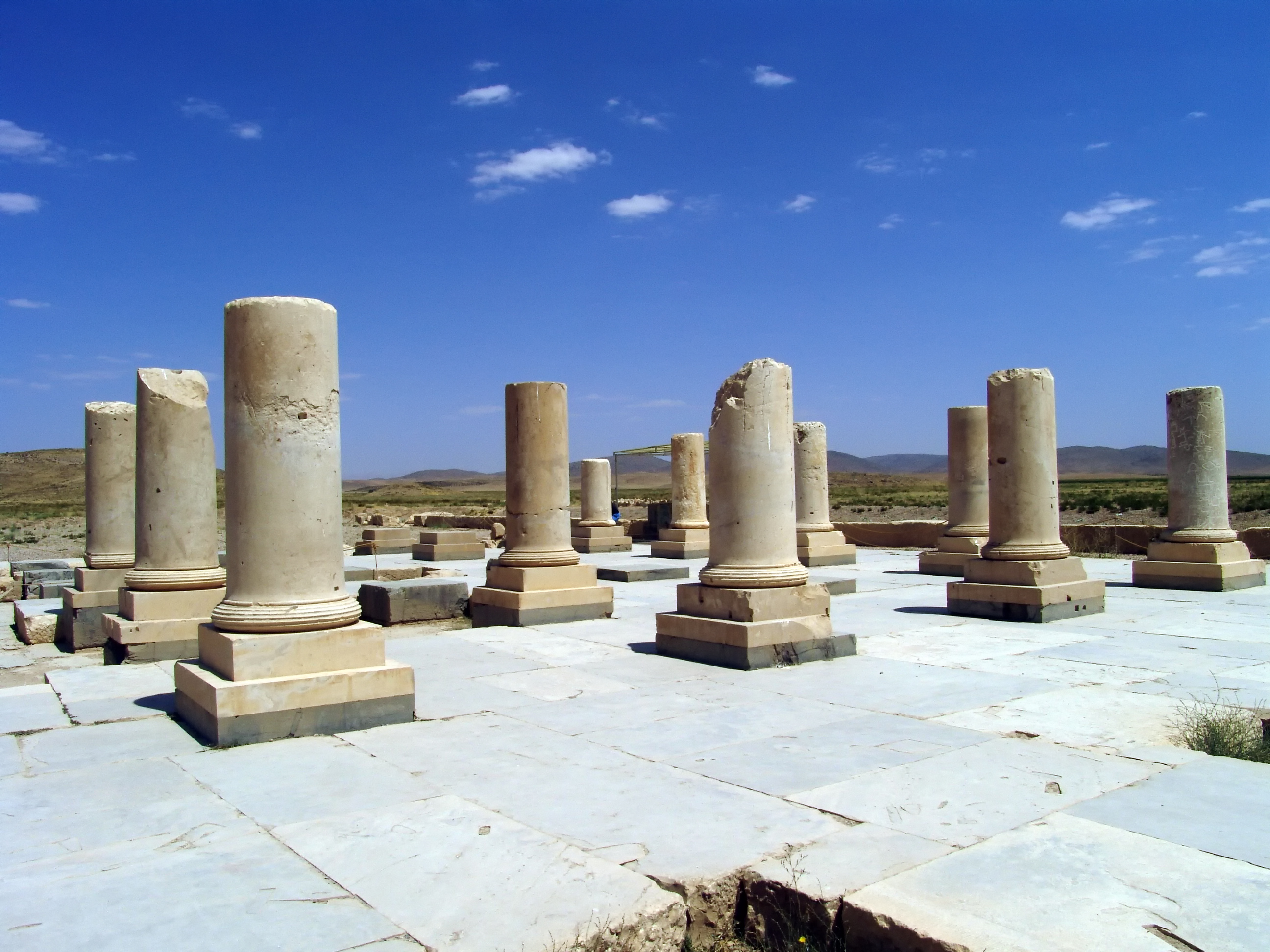
Ramjerd
Ramjerd (Persian: رامجرد, formerly, Kushkak (Persian: كوشكك), also Romanized as Kūshkak) is a city in and the capital of Dorudzan District, in Marvdasht County, Fars Province, Iran. At the 2006 census, its population was 2,033, in 446 families. The..
Ramjerd Wikipedia Page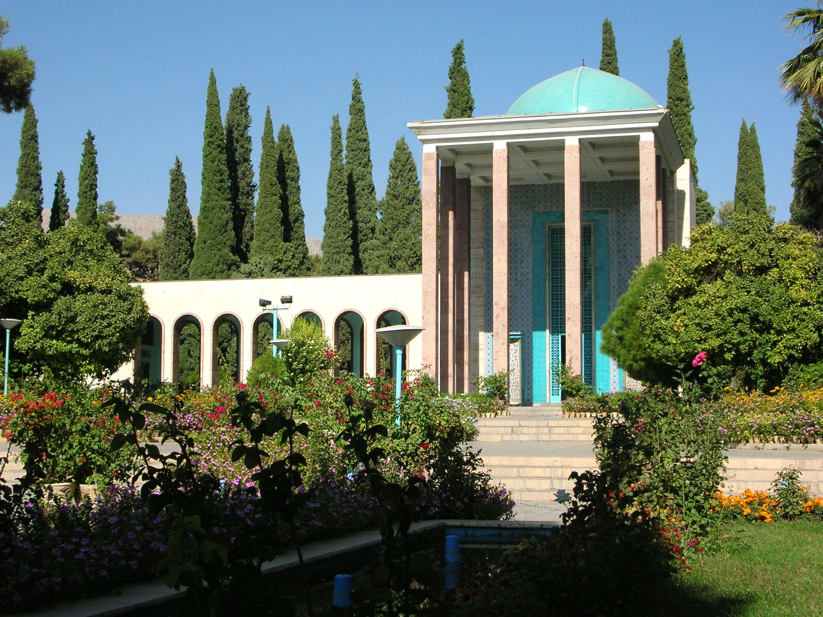

About Our Data
The data on this page is estimated using a number of publicly available tools and resources. It is provided without warranty, and could contain inaccuracies. Use at your own risk.