Rashvan Facts
| Local Time | |
| Timezone | Iran Standard Time |
| Lat & Lng | 30.36950, 55.44340 |
Map of Rashvan
Interactive Map
Recent Nearby Earthquakes
Magnitude 3.0 and greater
| Date▼ | Time↕ | Magnitude↕ | Distance↕ | Depth↕ | Location↕ | Link |
|---|---|---|---|---|---|---|
| 10/28/16 | 2:02 PM | 4.8 | 97.9 km | 17,670 m | 21km SW of Zarand, Iran | usgs.gov |
| 2/18/06 | 11:03 AM | 4.7 | 60.1 km | 14,100 m | central Iran | usgs.gov |
| 3/19/98 | 8:33 AM | 4.7 | 77.2 km | 33,000 m | southern Iran | usgs.gov |
| 7/18/96 | 2:27 PM | 4 | 99.3 km | 33,000 m | central Iran | usgs.gov |
| 9/18/79 | 5:16 PM | 4.2 | 82 km | 33,000 m | central Iran | usgs.gov |
| 4/18/11 | 6:14 PM | 6.5 | 83.4 km | 15,000 m | central Iran | usgs.gov |
Source: U.S. Geological Survey (USGS)
Rashvan
Rashvan (Persian: رشوان, also Romanized as Rashvān) is a village in Raviz Rural District, Koshkuiyeh District, Rafsanjan County, Kerman Province, Iran. At the 2006 census, its population was 40, in 12 families.
Rashvan Wikipedia Page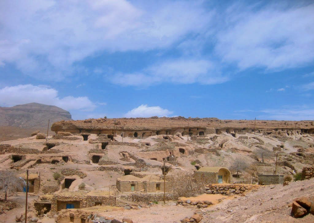
About Our Data
The data on this page is estimated using a number of publicly available tools and resources. It is provided without warranty, and could contain inaccuracies. Use at your own risk.