Seft Facts
| Local Time | |
| Timezone | Iran Standard Time |
| Lat & Lng | 34.62072, 50.37992 |
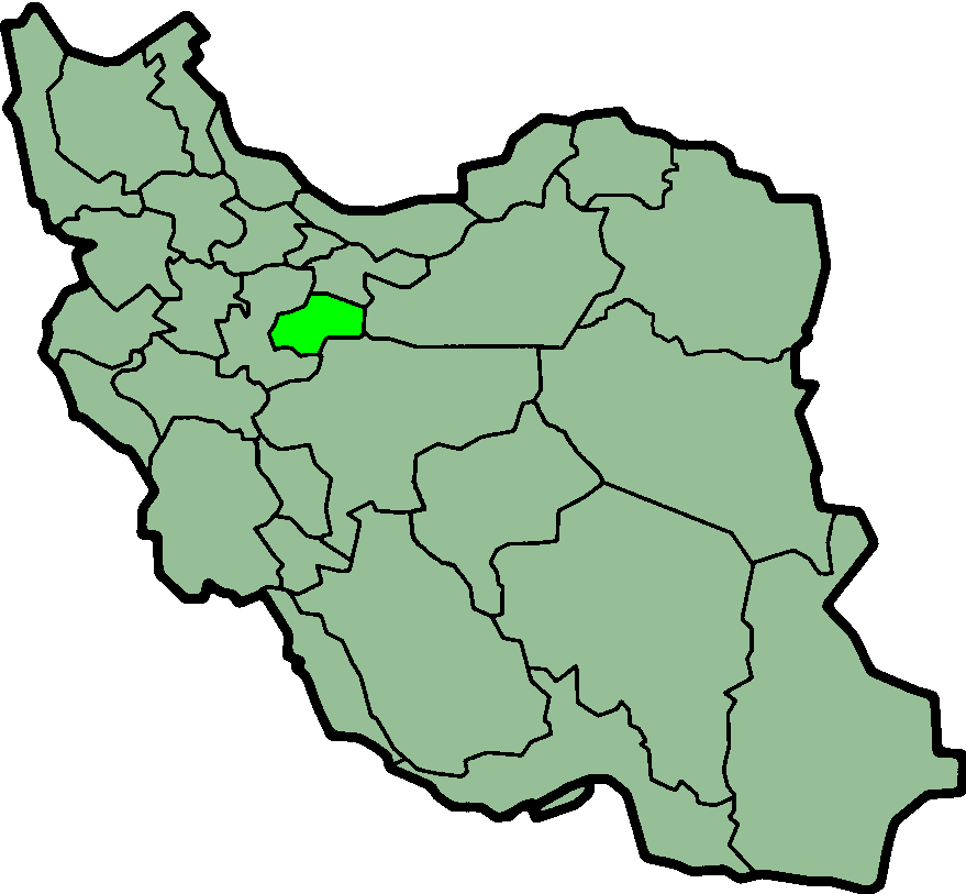
Map of Seft
Interactive Map
Recent Nearby Earthquakes
Magnitude 3.0 and greater
| Date▼ | Time↕ | Magnitude↕ | Distance↕ | Depth↕ | Location↕ | Link |
|---|---|---|---|---|---|---|
| 10/16/13 | 8:49 AM | 4.6 | 88.9 km | 2,000 m | 58km WNW of Saveh, Iran | usgs.gov |
| 6/19/07 | 3:03 PM | 4.1 | 41.7 km | 6,000 m | central Iran | usgs.gov |
| 6/18/07 | 2:29 PM | 5.5 | 46.3 km | 5,000 m | central Iran | usgs.gov |
| 3/25/05 | 12:48 PM | 4.7 | 52.7 km | 14,100 m | northern Iran | usgs.gov |
| 12/24/03 | 3:49 AM | 4.7 | 57.2 km | 10,000 m | northern Iran | usgs.gov |
| 11/23/01 | 7:30 PM | 3.5 | 61.7 km | 33,000 m | western Iran | usgs.gov |
| 11/5/97 | 10:42 PM | 4.5 | 98.3 km | 33,000 m | central Iran | usgs.gov |
| 3/30/88 | 10:30 PM | 3.9 | 32 km | 33,000 m | central Iran | usgs.gov |
| 3/1/88 | 1:02 AM | 4.3 | 42.9 km | 14,500 m | central Iran | usgs.gov |
| 2/11/85 | 9:26 AM | 4.7 | 28.1 km | 50,600 m | central Iran | usgs.gov |
Source: U.S. Geological Survey (USGS)
Seft
Seft (Persian: سفت) is a village in Dastjerd Rural District, Khalajastan District, Qom County, Qom Province, Iran. At the 2005 census, its population was 67, in 25 families.
Seft Wikipedia Page
About Our Data
The data on this page is estimated using a number of publicly available tools and resources. It is provided without warranty, and could contain inaccuracies. Use at your own risk.