Categories in Sohrevard
Industries
Business Distribution by Industry in Sohrevard
| Industry Description | Number of Establishments |
|---|---|
| Grocery stores and supermarkets | 9 |
| Shopping | 8 |
| Mosques | 7 |
| Education | 6 |
Sohrevard Facts
| Area Codes | 242 |
| Local Time | |
| Timezone | Iran Standard Time |
| Lat & Lng | 36.07210, 48.44010 |
Map of Sohrevard
Interactive Map
Recent Nearby Earthquakes
Magnitude 3.0 and greater
| Date▼ | Time↕ | Magnitude↕ | Distance↕ | Depth↕ | Location↕ | Link |
|---|---|---|---|---|---|---|
| 11/2/16 | 11:11 AM | 4.2 | 65.8 km | 10,000 m | 60km SSW of Abhar, Iran | usgs.gov |
| 3/2/15 | 6:08 AM | 4.5 | 57.6 km | 8,000 m | 50km SSW of Abhar, Iran | usgs.gov |
| 1/13/12 | 12:35 PM | 4.3 | 63.2 km | 5,000 m | western Iran | usgs.gov |
| 4/28/10 | 8:04 PM | 4.2 | 60 km | 14,200 m | western Iran | usgs.gov |
| 1/10/10 | 6:52 AM | 4.1 | 63.2 km | 4,000 m | western Iran | usgs.gov |
| 9/26/08 | 11:00 AM | 4.3 | 71 km | 10,000 m | western Iran | usgs.gov |
| 5/27/08 | 6:18 AM | 4.9 | 67.1 km | 23,000 m | northwestern Iran | usgs.gov |
| 3/27/08 | 6:48 AM | 4 | 73.2 km | 15,000 m | western Iran | usgs.gov |
| 12/19/07 | 3:27 PM | 4 | 58.6 km | 10,000 m | western Iran | usgs.gov |
| 5/22/07 | 11:53 AM | 4.1 | 91.1 km | 3,000 m | western Iran | usgs.gov |
Source: U.S. Geological Survey (USGS)
Sohrevard
Sohrevard (Persian: سهرورد, also Romanized as Sohravard) is a city in the Central District of Khodabandeh County, Zanjan Province, Iran. At the 2006 census, its population was 5,786, in 1,356 families. was the birthplace of the twelfth century Ira..
Sohrevard Wikipedia Page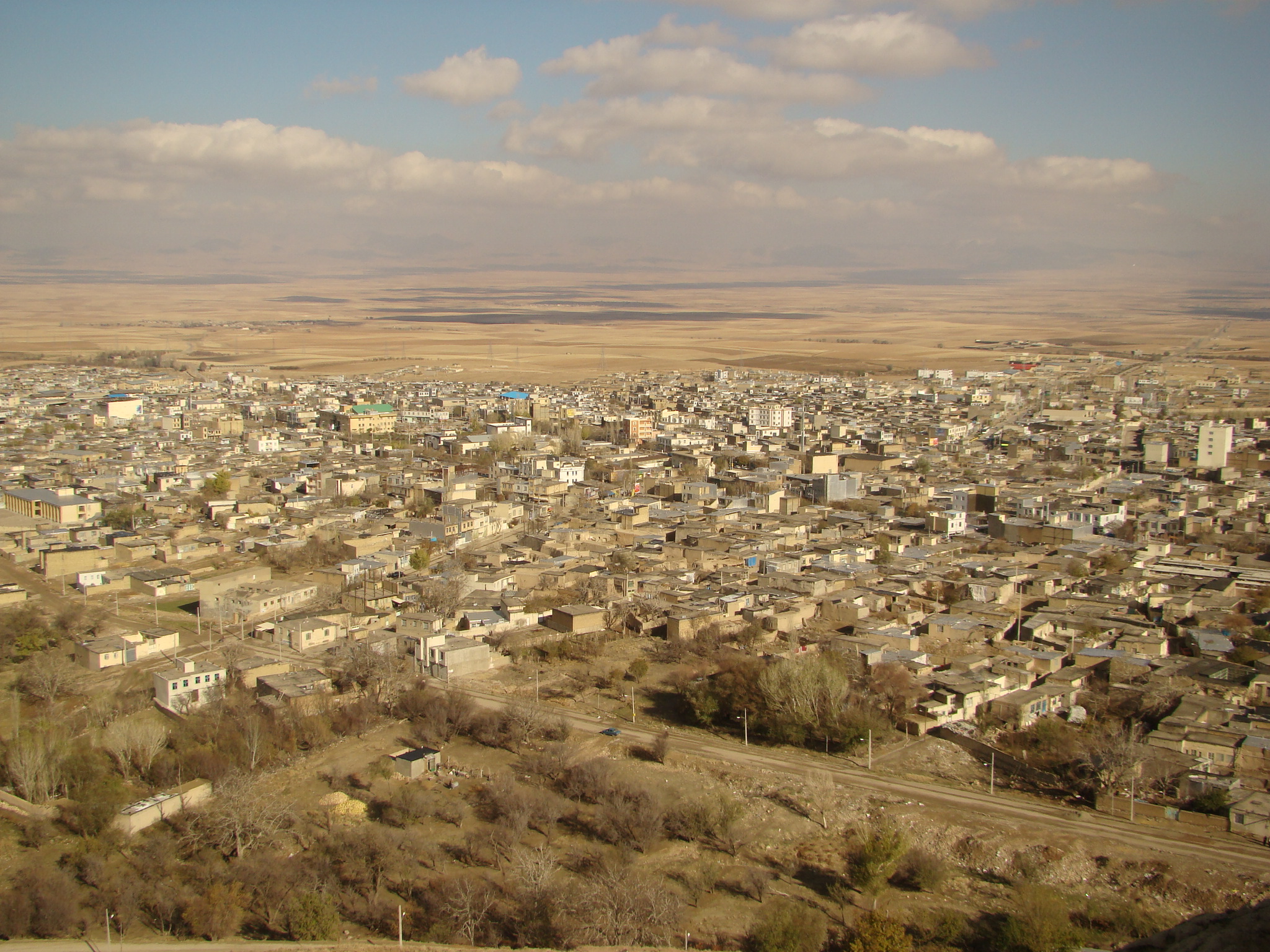
About Our Data
The data on this page is estimated using a number of publicly available tools and resources. It is provided without warranty, and could contain inaccuracies. Use at your own risk.