Vesht Facts
| Local Time | |
| Timezone | Iran Standard Time |
| Lat & Lng | 34.13853, 48.46828 |
Map of Vesht
Interactive Map
Recent Nearby Earthquakes
Magnitude 3.0 and greater
| Date▼ | Time↕ | Magnitude↕ | Distance↕ | Depth↕ | Location↕ | Link |
|---|---|---|---|---|---|---|
| 10/18/18 | 3:14 PM | 4.4 | 28.6 km | 10,000 m | 17km W of Borujerd, Iran | usgs.gov |
| 9/19/18 | 12:41 PM | 4.3 | 70 km | 10,000 m | 9km WSW of Azna, Iran | usgs.gov |
| 7/11/18 | 11:13 AM | 4.3 | 87.7 km | 10,000 m | 17km SSE of Khorramabad, Iran | usgs.gov |
| 12/13/17 | 6:05 AM | 4.1 | 98.3 km | 10,000 m | 6km ENE of Kuhdasht, Iran | usgs.gov |
| 11/23/17 | 10:30 PM | 4.4 | 51.6 km | 10,000 m | 22km SSW of Borujerd, Iran | usgs.gov |
| 11/14/17 | 9:15 AM | 4.1 | 89 km | 10,000 m | 25km N of Kuhdasht, Iran | usgs.gov |
| 11/14/17 | 4:48 AM | 4.2 | 78.8 km | 10,000 m | 31km NNE of Kuhdasht, Iran | usgs.gov |
| 11/14/17 | 4:28 AM | 4.5 | 94.6 km | 10,000 m | 22km N of Kuhdasht, Iran | usgs.gov |
| 11/13/17 | 4:49 PM | 4.4 | 83.1 km | 10,000 m | 31km N of Kuhdasht, Iran | usgs.gov |
| 11/13/17 | 3:33 PM | 4.6 | 83.2 km | 10,000 m | 20km NE of Kuhdasht, Iran | usgs.gov |
Source: U.S. Geological Survey (USGS)
Vesht
Vesht (Persian: وشت) is a village in Gamasiyab Rural District, in the Central District of Nahavand County, Hamadan Province, Iran. At the 2006 census, its population was 231, in 62 families.
Vesht Wikipedia Page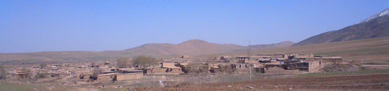
About Our Data
The data on this page is estimated using a number of publicly available tools and resources. It is provided without warranty, and could contain inaccuracies. Use at your own risk.