Zirenj Facts
| Local Time | |
| Timezone | Iran Standard Time |
| Lat & Lng | 33.91117, 59.26392 |
Map of Zirenj
Interactive Map
Recent Nearby Earthquakes
Magnitude 3.0 and greater
| Date▼ | Time↕ | Magnitude↕ | Distance↕ | Depth↕ | Location↕ | Link |
|---|---|---|---|---|---|---|
| 6/20/19 | 10:20 AM | 4.5 | 53.2 km | 10,000 m | 45km ESE of Qayen, Iran | usgs.gov |
| 10/28/13 | 10:32 AM | 4.1 | 70.2 km | 21,000 m | 33km SSW of Gonabad, Iran | usgs.gov |
| 12/5/12 | 5:08 PM | 5.8 | 53.2 km | 14,400 m | eastern Iran | usgs.gov |
| 9/2/12 | 12:50 AM | 5.1 | 76.1 km | 12,000 m | eastern Iran | usgs.gov |
| 8/9/12 | 11:45 PM | 4.1 | 48.8 km | 10,000 m | eastern Iran | usgs.gov |
| 7/1/12 | 10:01 PM | 5.1 | 87.9 km | 28,000 m | northeastern Iran | usgs.gov |
| 11/18/08 | 11:20 AM | 4.2 | 64.6 km | 14,100 m | eastern Iran | usgs.gov |
| 6/27/08 | 2:58 PM | 4 | 62.9 km | 10,000 m | eastern Iran | usgs.gov |
| 3/9/08 | 3:51 AM | 5 | 68 km | 4,000 m | eastern Iran | usgs.gov |
| 12/27/05 | 8:37 AM | 4 | 73.3 km | 17,000 m | eastern Iran | usgs.gov |
Source: U.S. Geological Survey (USGS)
Zirenj
Zirenj (Persian: زيرنج, also Romanized as Zīrenj and Zirinj; also known as Zerīnj and Zirach) is a village in Mahyar Rural District, in the Central District of Qaen County, South Khorasan Province, Iran. At the 2006 census, its population was 58, i..
Zirenj Wikipedia Page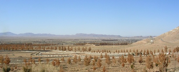
About Our Data
The data on this page is estimated using a number of publicly available tools and resources. It is provided without warranty, and could contain inaccuracies. Use at your own risk.