Fuheis Facts
| Area | 18.3 km² |
| Population | 23,725 |
| Male Population | 12,210 (51.5%) |
| Female Population | 11,515 (48.5%) |
| Population change (1975 to 2020) | +417.7% |
| Population change (2000 to 2020) | +78.9% |
| Median Age | 20.5 years (Male: 20.7, Female: 20.3) |
| Neighborhoods | Ad Dayr |
| Local Time | |
| Timezone | GMT+03:00 |
| Lat & Lng | 32.00468, 35.78088 |
Map of Fuheis
Interactive Map
Fuheis Population
Years 1975 to 2020
| Data | 1975 | 1990 | 2000 | 2015 | 2020 |
|---|---|---|---|---|---|
| Population | 4,583 | 9,569 | 13,264 | 21,131 | 23,725 |
| Population Density | 251.1 / km² | 524.3 / km² | 726.8 / km² | 1,157.9 / km² | 1,300 / km² |
Fuheis Population change from 2000 to 2015
Increase of 59.3% from year 2000 to 2015
| Location | Change since 1975 | Change since 1990 | Change since 2000 |
|---|---|---|---|
| Fuheis | +361.1% | +120.8% | +59.3% |
| Balqa Governorate | +314.1% | +137.5% | +65.6% |
| Jordan | +283.5% | +126% | +59.2% |
Fuheis Median Age
Median Age: 20.5 years
| Location | Median Age | Median Age (Female) | Median Age (Male) |
|---|---|---|---|
| Fuheis | 20.5 yrs | 20.3 yrs | 20.7 yrs |
| Balqa Governorate | 20.9 yrs | 20.8 yrs | 21.1 yrs |
| Jordan | 20.7 yrs | 20.6 yrs | 20.8 yrs |
Fuheis Population Density
Population Density: 1,300 / km²
| Location | Population | Area | Density |
|---|---|---|---|
| Fuheis | 23,725 | 18.3 km² | 1,300 / km² |
| Balqa Governorate | 691,262 | 1,140.4 km² | 606 / km² |
| Jordan | 7.6 million | 89,119.6 km² | 85.1 / km² |
Fuheis Historical and Projected Population
Estimated Population from 300 to 2100
- JRC (European Commission's Joint Research Centre) work on the GHS built-up grid
- CIESIN (Center for International Earth Science Information Network)
- [Link] Klein Goldewijk, K., Beusen, A., Doelman, J., and Stehfest, E.: Anthropogenic land use estimates for the Holocene – HYDE 3.2, Earth Syst. Sci. Data, 9, 927–953, https://doi.org/10.5194/essd-9-927-2017, 2017.
Price Distribution
Business distribution by price for Fuheis
Human Development Index (HDI)
Statistic composite index of life expectancy, education, and per capita income.
Fuheis CO2 Emissions
Carbon Dioxide (CO2) Emissions Per Capita in Tonnes Per Year
| Location | CO2 Emissions | CO2 Emissions Per Capita | CO2 Emissions Intensity |
|---|---|---|---|
| Fuheis | 86,613 tn | 3.65 tn | 4,745.9 tons/km² |
| Balqa Governorate | 2,558,544 tn | 3.7 tn | 2,243.6 tons/km² |
| Jordan | 28,633,414 tn | 3.77 tn | 321.3 tons/km² |
| 2013 CO2 emissions (tonnes/year) | 86,613 tn |
| 2013 CO2 emissions (tonnes/year) per capita | 3.65 tn |
| 2013 CO2 emissions intensity (tonnes/km²/year) | 4,745.9 tons/km² |
Natural Hazards Risk
Relative risk out of 10
| Hazard | Risk Level |
|---|---|
| Drought | High (9) |
| Flood | Medium (7) |
| Earthquake | Medium (5.7) |
* Risk, particularly concerning flood or landslide, may not be for the entire area.
- Dilley, M., R.S. Chen, U. Deichmann, A.L. Lerner-Lam, M. Arnold, J. Agwe, P. Buys, O. Kjekstad, B. Lyon, and G. Yetman. 2005. Natural Disaster Hotspots: A Global Risk Analysis. Washington, D.C.: World Bank. https://doi.org/10.1596/0-8213-5930-4.
- Center for Hazards and Risk Research - CHRR - Columbia University, Center for International Earth Science Information Network - CIESIN - Columbia University, and International Research Institute for Climate and Society - IRI - Columbia University. 2005. Global Drought Hazard Frequency and Distribution. Palisades, NY: NASA Socioeconomic Data and Applications Center (SEDAC). https://doi.org/10.7927/H4VX0DFT.
- Center for Hazards and Risk Research - CHRR - Columbia University, Center for International Earth Science Information Network - CIESIN - Columbia University. 2005. Global Flood Hazard Frequency and Distribution. Palisades, NY: NASA Socioeconomic Data and Applications Center (SEDAC). https://doi.org/10.7927/H4668B3D.
- Center for Hazards and Risk Research - CHRR - Columbia University, Center for International Earth Science Information Network - CIESIN - Columbia University. 2005. Global Earthquake Hazard Distribution - Peak Ground Acceleration. Palisades, NY: NASA Socioeconomic Data and Applications Center (SEDAC). https://doi.org/10.7927/H4BZ63ZS.
Recent Nearby Earthquakes
Magnitude 3.0 and greater
| Date▼ | Time↕ | Magnitude↕ | Distance↕ | Depth↕ | Location↕ | Link |
|---|---|---|---|---|---|---|
| 7/4/18 | 7:45 PM | 4.7 | 93.4 km | 10,000 m | 5km SE of 'Eilabun, Israel | usgs.gov |
| 7/4/18 | 1:50 AM | 4 | 92.5 km | 10,000 m | 6km SSE of 'Eilabun, Israel | usgs.gov |
| 7/30/15 | 2:39 AM | 4.2 | 73.2 km | 13,000 m | 24km NNE of `En Boqeq, Israel | usgs.gov |
| 10/20/13 | 12:54 PM | 3.5 | 96.6 km | 5,000 m | 8km NNE of Tiberias, Israel | usgs.gov |
| 12/2/07 | 7:38 AM | 4 | 43.5 km | 10,000 m | Dead Sea region | usgs.gov |
| 11/23/07 | 10:19 PM | 4.4 | 81.1 km | 11,000 m | Dead Sea region | usgs.gov |
| 11/20/07 | 11:21 PM | 3.2 | 40.3 km | 5,000 m | Dead Sea region | usgs.gov |
| 11/20/07 | 9:18 AM | 4.6 | 41.5 km | 10,000 m | Dead Sea region | usgs.gov |
| 11/18/06 | 2:57 AM | 3.1 | 34.1 km | 10,000 m | Dead Sea region | usgs.gov |
| 9/17/06 | 8:22 AM | 4 | 29.4 km | 1,000 m | Dead Sea region | usgs.gov |
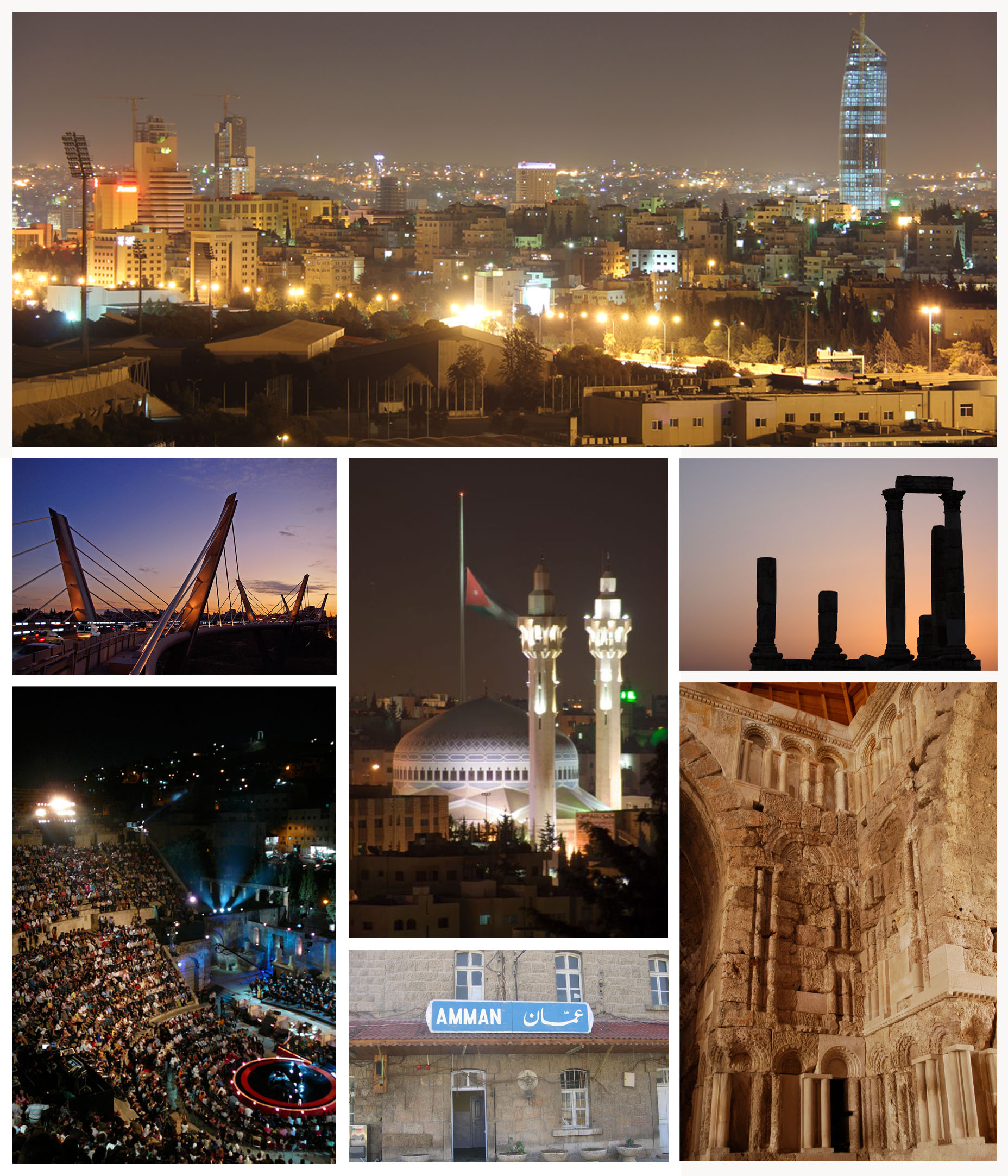
Fuheis
Fuheis (Arabic: الفحيص) (also Fuhais) is a town in the Jordanian governorate of Balqa, just 20 kilometers northwest of Amman. The town has town of 20,000 residents, And is an overtly Christian-dominated locality. It lies in the Valley of Jethro (Wad..
Fuheis Wikipedia Page


About Our Data
The data on this page is estimated using a number of publicly available tools and resources. It is provided without warranty, and could contain inaccuracies. Use at your own risk.